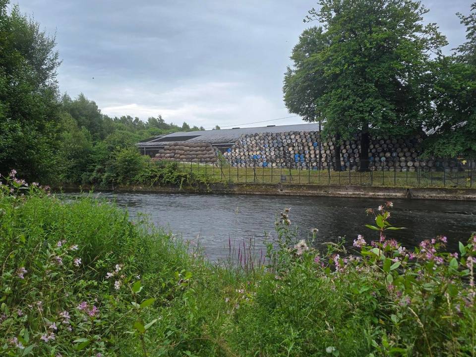
![Glasgow bridges [18]](https://lcopvmkgfxttunyqswpa.supabase.co/storage/v1/render/image/public/photos/glasgow/glasgow-to-edinburgh/commons-0.jpg?width=1440&quality=75&resize=contain)
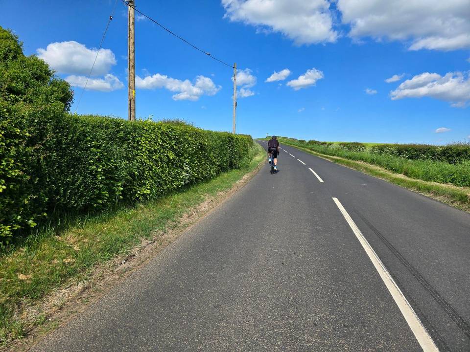
Road · United Kingdom
Stage 2 of 2 · National Cycle Route 75← Stage 1
A rolling 104 km road cycling route from Glasgow to Edinburgh through Calton, Gallowflat and Tannochside, with 483 m of climbing. 58% is on cycle paths or roads with a cycle lane.
The route starts in Glasgow passing through many suburbs such as Tradeston, Gorbals, and Rutherglen. It covers mostly paved surfaces (90%) with 57 km on cycle paths and 14 km on quiet streets. The first 27 km are mostly flat, with the lowest point at 3 m around 3.8 km and gradual elevation gain thereafter. Climbing is mild with three noted climbs: a 2.1 km stretch gaining 47 m starting near 27 km, a 3.6 km long climb gaining 78 m from 70.5 km, and a short but steeper 0.9 km ascent gaining 56 m at 79.3 km.
After Glasgow, the route passes through towns including Coatbridge at 26 km, Airdrie at 29 km, and Bathgate at 54 km. There is a longest stretch of 7.7 km without café, shop, or water between 37.4 and 45.1 km, but otherwise many shops, cafés, bike shops, water points, and toilets are found frequently along the way, especially near urban areas. The path follows named routes such as the Water of Leith Walkway for 5.6 km and Union Canal Towpath for 3.5 km, with some parts on main roads (3 km) and 7.8 km on roads with speed limits 80 km/h or above. Main roads without cycle lanes total 3.4 km.
The profile ranges from 3 m at 3.8 km up to 197 m near 39.2 km. The majority (79%) is flat with 11% climbing and 10% descending, no sections exceed an 8% gradient for any sustained distance. The final section includes delivery through Edinburgh suburbs ending near Leith at 98 km. Facilities at start and finish include cafés, pubs, supermarkets, and bike shops.
| Climb | Starts at | On this ride | Top on this ride |
|---|---|---|---|
| Unnamed climb | 27.1 km | 2.1 km · 47 m · 2.3 % · max 3.6 % | 130 m |
| Unnamed climb | 70.5 km | 3.6 km · 78 m · 2.2 % · max 3.1 % | 168 m |
| Unnamed climb | 79.3 km | 0.9 km · 56 m · 6.5 % · max 6.5 % | 173 m |
Much of the route is separated from traffic: 58% is on cycle paths or roads with a cycle lane.
No stretch is longer than 15 km without a café, shop or water. Along the route: 1175 cafés and restaurants, 190 shops, 4 water points, 16 petrol stations, 32 public toilets and 47 bike shops.