Cyclists.com

Gourock to Glasgow

Gourock, Inverclyde, United KingdomRoad

Signed route The waymarked National Cycle Route 75 (Walk Wheel Cycle Trust), traced from OpenStreetMap and measured against the terrain model; no member has recorded it yet. Stage 1 of 2 of the National Cycle Route 75. Ridden it? Add your recording and photos.

51 km
Distance
168 m
Elevation gain
Moderate
Difficulty
Paved
Surface
Download GPXMap

Elevation profile

Total ascent
168 m
Distance
51 km
050100150m0 km204051 km136 m · highest, at 14.4 kmStartFinish

Route overview

Suitable for cyclists comfortable with 50 km distance and moderate climbing of 168 m.

Stage 1 of 2 of the National Cycle Route 75: 50.8 km from Gourock to Glasgow with 168 m of climbing, on the signed route.

The route starts in Gourock and passes through Cardwell Bay and Fort Matilda before arriving in Greenock at 6 km. The most significant climb begins just after Greenock, lasting 2.6 km with an average gradient of 2.8%, gaining 72 m in elevation to 74 m at the top. The highest point on the route is 136 m at 13.8 km near Kilmacolm. From Kilmacolm, the ride continues to Bridge of Weir by 23 km then through Johnstone and Paisley by around 34 km, with a gentle profile mainly flat or gently rolling. Most surfaces are paved (97%) with a small 1% of gravel or unpaved sections and about 2% unmapped. The majority of the route (nearly 73%) is on cycle paths, supplemented by quiet streets and minor roads, with only 0.5 km on main roads. The route offers a longest stretch of 6.2 km without any café, shop or water supply between km 23.2 and 29.4. Several cafés, supermarkets, pubs, and shops are available near towns like Greenock, Kilmacolm, Paisley, and Glasgow. Railway stations are available at Gourock, Cartsdyke, Paisley Canal, and Dumbreck allowing bailout options.

Highlights

  • Lyle Hill at 2.1 km near start
  • Longest climb 2.6 km after Greenock
  • Highest point 136 m at 13.8 km
  • Pollok Tumulus archaeological site near 42.2 km

Along the route

Measured from the recorded track and OpenStreetMap.

Places passed

  1. Fort Matilda 2.3 km
  2. Greenock West 4.8 km
  3. Greenock 6 km
  4. Central 6.3 km
  5. Cartsdyke 7.6 km
  6. Bridgend 8 km
  7. Ladyburn 9.1 km
  8. Gibshill 9.7 km
  9. Bogston 10 km
  10. Port Glasgow 11.3 km
  11. Devol 12.4 km
  12. Boglestone 12.7 km
  13. Mid Auchinleck 13.6 km
  14. Bardrainney 13.7 km
  15. Slaemuir 14.2 km
  16. Kilmacolm 17.7 km
  17. Quarriers Village 20.3 km
  18. Bridge of Weir 23 km
  19. Brookfield 26.4 km
  20. Johnstone 28.2 km
  21. Linwood 28.7 km
  22. Elderslie 29.7 km
  23. Ferguslie 31.7 km
  24. Lounsdale 31.7 km
  25. Meikleriggs 32.1 km
  26. Castlehead 33.4 km
  27. Paisley 33.8 km
  28. Williamsburgh 34 km
  29. Charleston 34.4 km
  30. Lochfield 34.7 km
  31. Seedhill 34.8 km
  32. Blackhall 35 km
  33. Hunterhill 35.1 km
  34. Dykebar 35.6 km
  35. Hawkhead 35.8 km
  36. Ralston 37.7 km
  37. Crookston 38.8 km
  38. Pollok 40.7 km
  39. Corkerhill 40.9 km
  40. Dumbreck 44.9 km
  41. Bellahouston 45.3 km
  42. Ibrox 45.6 km
  43. Cessnock 46.1 km
  44. Kinning Park 46.4 km
  45. Finnieston 47.2 km
  46. Kelvinhaugh 47.2 km
  47. Sandyford 47.4 km
  48. Plantation 47.6 km
  49. Anderston 48.2 km
  50. Kingston 48.4 km
  51. Blythswood Hill 48.7 km
  52. Blythswood Holm 48.7 km
  53. Tradeston 48.7 km

Climbs

ClimbStarts atLengthGainAverageMaxTop
6.7 km2.6 km72 m2.8 %5 %74 m

High point 136 m at 13.8 km; low point 1 m. Passes beneath Lyle Hill, Barskiven Hill.

What this ride is like

Measured from OpenStreetMap along the track and the elevation profile.

Roads
73% cycle path · 12% quiet street · 7% minor road · 4% path
Cycle paths
36.3 km on cycle paths or roads with a cycle lane
Surface
Paved throughout
Gradient
8% climbing · 8% descending · 84% flat

Along the way

Within a few hundred metres of the track, from OpenStreetMap. Opening hours change — treat this as where to look, not a promise.

Food, water and shops

  1. 0.3 kmTop Up Tap · drinking water · on the route
  2. 0.6 kmShore Street Public Toilets · toilets · 100 m off route
  3. 5 kmAldi · supermarket · 50 m off route
  4. 5.5 kmTesco Extra · petrol station · 30 m off route
  5. 5.6 kmBoots · pharmacy · 240 m off route
  6. 6 kmCosta · café · 110 m off route
  7. 17.7 kmCairn · café · 70 m off route
  8. 17.7 kmCo-op Food · supermarket · 150 m off route
  9. 23 kmBoots · pharmacy · 70 m off route
  10. 29.9 kmJim's Food and Wine · convenience store · on the route
  11. 33.7 kmDooleys · bike shop · 220 m off route
  12. 34 kmShell Charleston · petrol station · 130 m off route
  13. 34 kmAbbey Chemists · pharmacy · 120 m off route
  14. 40.3 kmnextbike Corkerhill Station · bike rental · 330 m off route
  15. 40.7 kmCo-op Food · supermarket · 90 m off route
  16. 46 kmCessnock Pharmacy · pharmacy · 130 m off route
  17. 46.8 kmStarbucks · café · 40 m off route
  18. 48.7 kmTop Up Tap · drinking water · 140 m off route

Need to bail out?

  • 0.6 kmGourock (station), 40 m off route
  • 7.8 kmCartsdyke (station), 240 m off route
  • 33.8 kmPaisley Canal (station), on the route
  • 45 kmDumbreck (station), 80 m off route

Whether bikes are carried depends on the service — check before relying on it.

Worth a stop

  • 0.1 kmGranny Kempock Stone (archaeological site)
  • 6.5 kmPropeller/Capstan/Anchor (attraction)
  • 10.3 kmDevol Viaduct / Nine Arches Railway Bridge (ruins) (ruins)
  • 30.6 kmBarskiven Hill (peak)
  • 33.9 kmSaucel Hill (peak, 41 m)
  • 42.2 kmPollok Tumulus (archaeological site)

At the start

  • Good Brew · café · 80 m
  • Fresh · café · 120 m
  • Aulds · bakery · 140 m
  • Gourock · station · 380 m
  • Cafe Continental · pub · 130 m

At the finish

  • Avenu Cafe · café · 170 m
  • Caffè Nero · café · 220 m
  • The Imperial · pub · 190 m
  • Hootenanny · pub · 130 m
  • Millie's Cookies · bakery · 200 m

Stay after this ride

  • Clayton Hotel · hotel · 100 m from the finish
  • Aparthotel Adagio Glasgow Central · hotel · 110 m from the finish
  • St Enoch Hotel · hotel · 130 m from the finish
  • Premier Inn · hotel · 160 m from the finish
  • Leonardo Hotel Glasgow · hotel · 210 m from the finish

Practical information

Surface
Paved
Route shape
Point to point
Riding time
3 h 38 min
Best months
Jun to Aug — daily highs of 17–18 °C in those months

Know before you go

  • 6.2 km without café, shop or water between km 23.2 and 29.4
  • 0.5 km on main roads without cycle lane

Routes are for inspiration. Roads, surfaces and conditions change — check locally and ride within your limits.

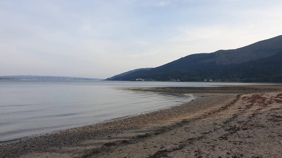
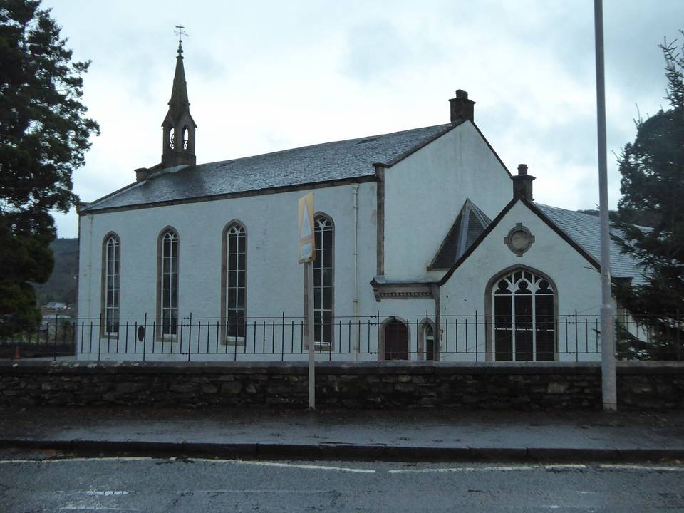
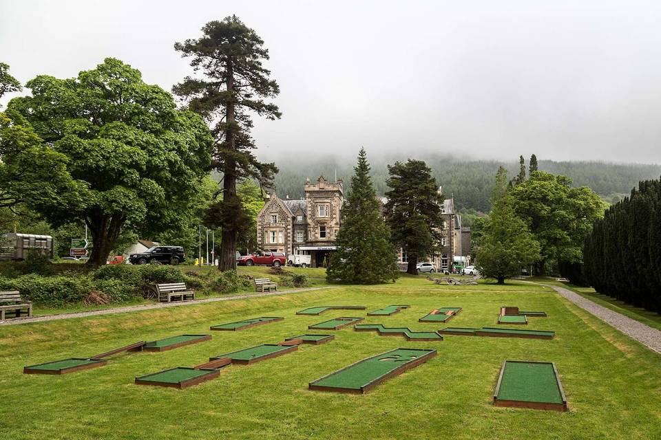
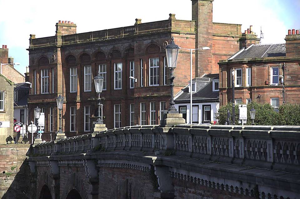
2 photographs from the road

Photo: Michael Dibb · CC BY-SA 2.0 · Wikimedia Commons · Photo: Thomas Nugent · CC BY-SA 2.0 · Wikimedia Commons · Photo: Ian Paterson · CC BY-SA 2.0 · Wikimedia Commons

Stage of