Road · United Kingdom
A hilly 100 km road cycling loop from Dunoon, Argyll and Bute through Ardnadam, Ardtaraig and Otterferry, with 952 m of climbing over Cruach nan Tarbh. Most of it (70.4 km) is on main roads without a cycle lane, 18.8 km where the limit is 80 km/h or more. The first 34 km has no café, shop or water.
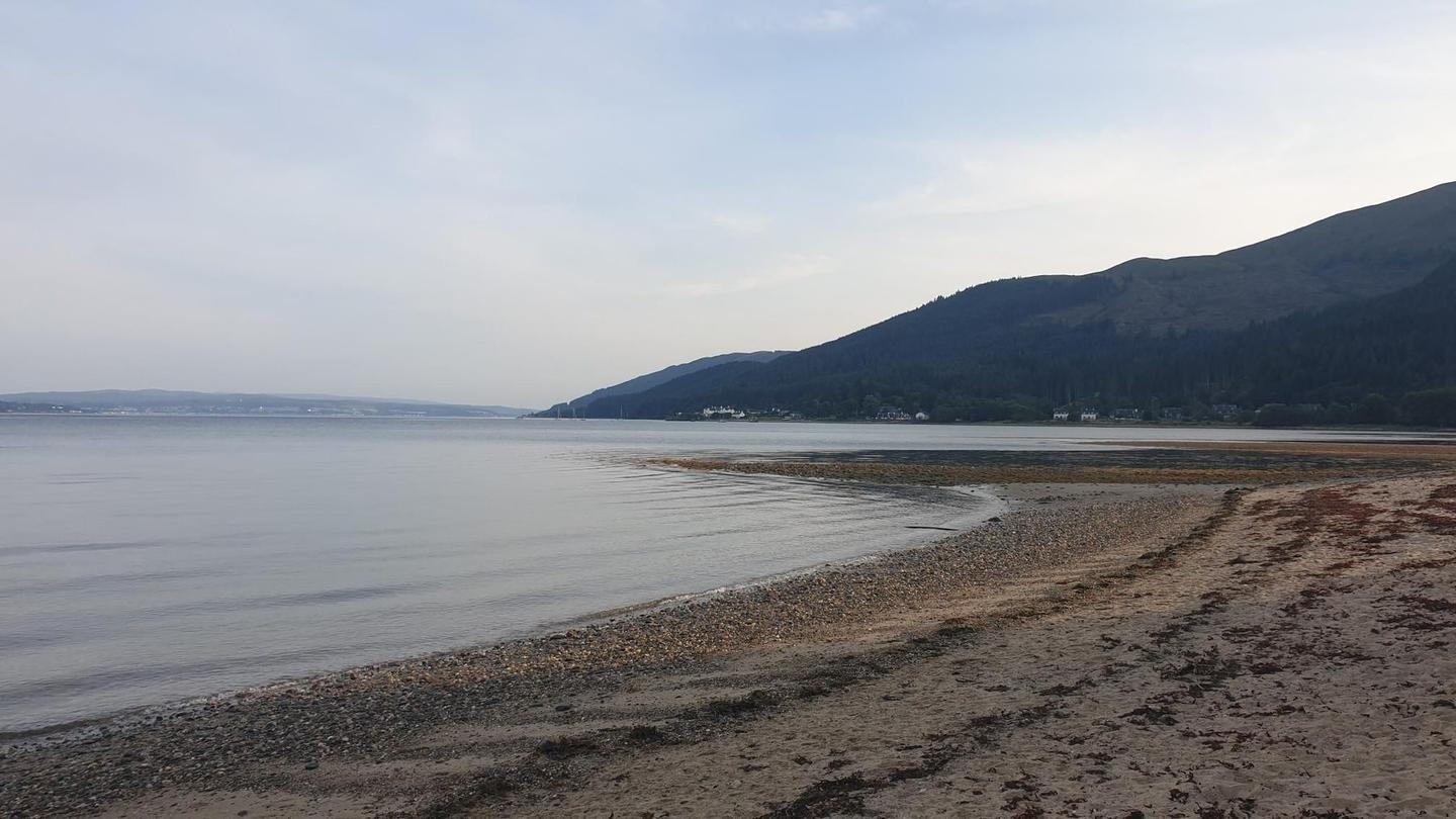
Starting from Dunoon, the route heads through several small places including Ardnadam, Sandbank, and Sandhaven. The first climb starts at km 4.9, lasting 3.3 km with an elevation gain of 84 m at an average gradient of 2.5%, reaching 90 m altitude. Passed peaks include Dalinlongart Hill at 4.5 km. The route mainly runs on main roads for 70.4 km, without cycle lanes, including 18.8 km with speed limits of 80 km/h or more.
Further climbs occur between km 16.6 to 19.5 gaining 138 m at 4.8% average gradient, and a significant climb from km 25.1 for 3.4 km gaining 297 m at 8.6% average gradient, peaking at 316 m near Cruach nan Tarbh at 28.5 km. There is another climb at km 68.2 ascending 131 m over 2.5 km at 5.3% average gradient. The route descends for 5.2 km from km 29.6, dropping 309 m.
Surface is mostly paved (98%), with minimal gravel or unpaved sections (1%). Food and drink options are limited for 33.8 km from the start; after this are restaurants, cafés and shops at various points, including The Oystercatcher at 33.8 km and several stops around 58 km and 94 km. Toilets are available from km 3.1 onward at several locations. The route passes through several small towns and villages such as Strachur at 59.2 km and Blairmore at 84.8 km before returning to Dunoon.
| Climb | Starts at | On this ride | Full ascent | Top on this ride |
|---|---|---|---|---|
| Unnamed climb | 4.9 km | 3.3 km · 84 m · 2.5 % · max 6.7 % | — | 90 m |
| Unnamed climb | 16.6 km | 2.9 km · 138 m · 4.8 % · max 9.3 % | — | 145 m |
| Cruach nan Tarbh | 25.1 km | 3.4 km · 297 m · 8.6 % · max 14.7 % | 3.4 km · 297 m · 8.6 % | 316 m |
| Unnamed climb | 68.2 km | 2.5 km · 131 m · 5.3 % · max 10.8 % | — | 161 m |
This is not a cycle-track route: 70% is on main roads without a cycle lane, 18.8 km of it where the limit is 80 km/h or more. Riders should be comfortable sharing the road with faster traffic.
The longest stretch without a café, shop or water is 34 km, from the start. Along the route: 10 cafés and restaurants, 3 shops, 1 water point, 2 petrol stations and 5 public toilets.