Road · United Kingdom
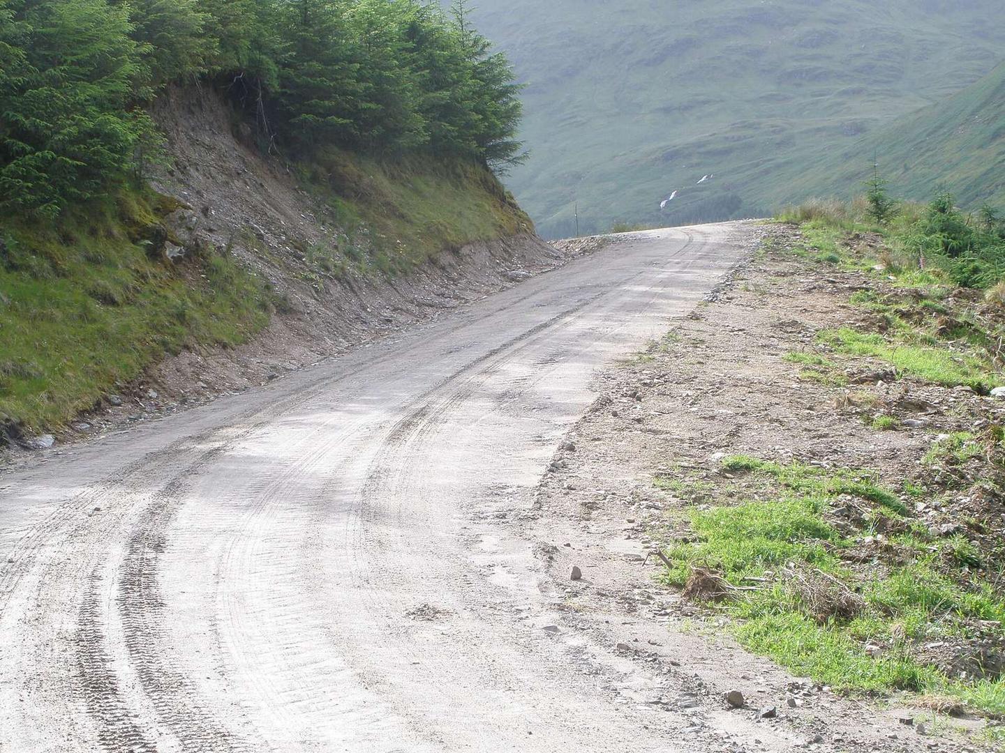
A mountainous 33 km gravel loop from Carrick Castle, Argyll and Bute through Lochgoilhead, with 654 m of climbing. The first 26 km has no café, shop or water. Mostly unpaved: 83% is mapped as gravel or unpaved, 17% as paved.
The Ardgartan Peninsula Circuit starts at Carrick Castle and covers 32.8 km in a loop. The route includes 654 m of elevation gain spread evenly with 53% of the climbing in the first half. It traverses a mix of roads: 67% on tracks, 16% on paths, 10% on minor roads, 5% on main roads, and 2% on quiet streets. The main roads total 1.5 km and have no cycle lanes, also classified as fast roads with speed limits of 80 km/h or more.
There are two significant climbs: the first begins at 10.6 km, lasting 6.4 km with an average gradient of 4% and reaches 299 m. The second starts around 24.8 km, going 6.2 km climbing 304 m at an average 4.9% gradient to 320 m, the highest point on the route. The longest descent follows from 17.3 km for 5 km.
Facilities are sparse en route, with no café, shop, or water source for 25.6 km from the start. Lochgoilhead at 25.6 km offers a pub (Goil Inn), drinking water, toilets, and a convenience store all within 300 m off-route. Toilets are also available at 10.9 km off-route near the first climb. Peaks near the road include The Saddle (521 m), Tom Molach (368 m), and Clach Bheinn (437 m) near the final sections of the loop.
| Climb | Starts at | On this ride | Top on this ride |
|---|---|---|---|
| Unnamed climb | 10.6 km | 6.4 km · 254 m · 4 % · max 10.7 % | 299 m |
| Unnamed climb | 24.8 km | 6.2 km · 304 m · 4.9 % · max 12.5 % | 320 m |
Mostly minor roads and streets on the map; 1.5 km is on main roads without a cycle lane.
The longest stretch without a café, shop or water is 26 km, from the start. Along the route: 1 café or restaurant, 1 shop, 1 water point and 2 public toilets.