Cyclists.com

National Cycle Route 754

Clydebank, West Dunbartonshire, United KingdomRoad

Signed route The waymarked National Cycle Route 754 (Walk Wheel Cycle Trust), traced from OpenStreetMap and measured against the terrain model; no member has recorded it yet. Ridden it? Add your recording and photos.

94 km
Distance
146 m
Elevation gain
Moderate
Difficulty
Paved
Surface
Download GPXMap

Elevation profile

Total ascent
146 m
Distance
94 km
020406080100m0 km2040608094 km88 m · highest, at 80.9 kmStartFinish

Route overview

Suitable for riders looking for a long distance route with low climbing and mostly paved surfaces.

National Cycle Route 754 runs 94.4 km from Clydebank to Edinburgh in West Dunbartonshire, UK, nearly flat with 146 m climbing.

National Cycle Route 754 starts in Clydebank, passing through numerous suburbs and towns including Kilbowie, Drumry, Maryhill, Kirkintilloch, and Falkirk, before reaching Edinburgh. The route is mostly flat, with only 2% climbing and 1% descending, peaking at 89 m around 79.6 km. The route profile is gently undulating without sustained steep gradients. The surface is 94% paved, with 5% gravel or unpaved and 1% unmapped sections. Most of the route (87%) is on cycle paths, including the Union Canal Towpath for 43.7 km and the Forth and Clyde Canal Towpath for 36.3 km. Other sections include paths, quiet streets, main roads, minor roads, and tracks. There are 1.9 km on main roads without cycle lanes and 1.3 km on roads with speed limits of 80 km/h or more. Amenities along the route include cafés such as Cafe 81 near the start at 0.9 km, the Falkirk Wheel Café around 41.6 km, and several others near Linlithgow and Edinburgh. Shops like Sainsbury's, Tesco, Aldi, and Spar are found along the way, with the longest stretch without a café, shop, or water lasting 10.3 km between 27.4 km and 37.7 km. There are several bailout points including Clydebank Station at the start and Kingsknowe Station near the end.

Highlights

  • Union Canal Towpath for 43.7 km
  • Forth and Clyde Canal Towpath for 36.3 km
  • Falkirk Wheel Café at 41.6 km
  • Peaks near the road: Castle Hill, Bar Hill, Croy Hill

Along the route

Measured from the recorded track and OpenStreetMap.

Places passed

  1. Knightswood 2.9 km
  2. Blairdardie 3.1 km
  3. Netherton 5.3 km
  4. Temple 5.9 km
  5. Kelvindale 6.9 km
  6. Maryhill 8.2 km
  7. Ruchill 9.3 km
  8. Cadder 9.7 km
  9. Lambhill 10.1 km
  10. Westermains 18.3 km
  11. Kirkintilloch 19.3 km
  12. Barleybank 19.5 km
  13. Merkland 20.5 km
  14. Cleddans 20.5 km
  15. Harestanes 21.2 km
  16. Langmuir 21.9 km
  17. Twechar 24.4 km
  18. Auchinvole 26.3 km
  19. Auchinstarry 27.1 km
  20. Kilsyth 27.1 km
  21. Barrwood 27.8 km
  22. Coneypark 33 km
  23. Banknock 33.5 km
  24. Castlecary 34.2 km
  25. Haggs 34.8 km
  26. Longcroft 35.3 km
  27. Allandale 36 km
  28. Dennyloanhead 37.3 km
  29. Greenhill 37.7 km
  30. High Bonnybridge 38.4 km
  31. Bonnybridge 38.7 km
  32. Tamfourhill 42.9 km
  33. Bantaskin 44.3 km
  34. Arnothill 44.8 km
  35. Lochgreen 44.8 km
  36. Falkirk 45.1 km
  37. Woodlands 45.1 km
  38. Lionthorn 45.9 km
  39. Glen Village 46.3 km
  40. Hallglen 46.6 km
  41. Reddingmuirhead 49.1 km
  42. Westquarter 49.1 km
  43. Redding 49.6 km
  44. Brightons 50.7 km
  45. Rumford 50.8 km
  46. Polmont 51.3 km
  47. Whitecross 54.5 km
  48. Linlithgow 59.3 km
  49. Philpstoun 64.2 km
  50. Winchburgh 68.9 km
  51. Niddry 69.5 km
  52. Broxburn 72.7 km
  53. Muirend 76 km
  54. Ratho 80.2 km
  55. Hermiston 84.8 km
  56. Baberton 87 km
  57. Wester Hailes 87.3 km
  58. Sighthill 87.3 km
  59. Parkhead 88.2 km
  60. Kingsknowe 88.8 km
  61. Longstone 88.8 km
  62. Slateford 89.9 km
  63. Craiglockhart 90.3 km
  64. Gorgie 91.8 km
  65. Merchiston 92 km

What this ride is like

Measured from OpenStreetMap along the track and the elevation profile.

Roads
87% cycle path · 7% path · 2% quiet street · 2% main road
Main roads
1.9 km on main roads without a cycle lane — likely busier
Fast roads
1.3 km on roads with a limit of 80 km/h or more
Cycle paths
81 km on cycle paths or roads with a cycle lane
Main roads used
Union Canal Towpath (44 km), Forth and Clyde Canal Towpath (36 km)
Surface
Paved throughout
Gradient
2% climbing · 1% descending · 97% flat

Along the way

Within a few hundred metres of the track, from OpenStreetMap. Opening hours change — treat this as where to look, not a promise.

Food, water and shops

  1. 0.9 kmCafe 81 · café · 50 m off route
  2. 4.6 kmToilets · 80 m off route
  3. 6.1 kmLock 27 · pub · on the route
  4. 10.1 kmCafé on the canal · café · on the route
  5. 19.1 kmSainsbury's · supermarket · 110 m off route
  6. 19.3 kmChapeau Cycles · bike shop · 90 m off route
  7. 38.7 kmLindsay & Gilmour · pharmacy · 80 m off route
  8. 38.8 kmJET · petrol station · on the route
  9. 41.6 kmToilets · on the route
  10. 49.3 kmTesco · supermarket · 50 m off route
  11. 59.3 kmToilets · 250 m off route
  12. 59.4 kmLUCS Canal Tea Room · café · 50 m off route
  13. 59.7 kmTesco · supermarket · 140 m off route
  14. 72.4 kmAldi · supermarket · 100 m off route
  15. 79.4 kmCafé Refresh · café · 80 m off route
  16. 89.6 kmSainsbury's · supermarket · 140 m off route
  17. 89.8 kmAsda · petrol station · 90 m off route
  18. 92.5 kmM&D Green Pharmacy · pharmacy · 150 m off route

Need to bail out?

  • 0 kmClydebank (station), 340 m off route
  • 6.8 kmKelvindale (station), 60 m off route
  • 18.9 kmSeagull Trust Cruises (ferry), 60 m off route
  • 43.3 kmCamelon (station), 1.3 km off route
  • 50.8 kmPolmont (station), 210 m off route
  • 59.6 kmLinlithgow (station), 80 m off route
  • 74.5 kmLaird's Halt (station), 970 m off route
  • 88.6 kmKingsknowe (station), 40 m off route

Whether bikes are carried depends on the service — check before relying on it.

Worth a stop

  • 24.5 kmAntonine Wall (ruins)
  • 29 kmCraigmarloch Stables (ruins)
  • 36.8 kmAntonine Wall (ruins)
  • 53.5 kmAlmond Castle (castle)

At the start

  • McMonagles Fish & Chips · restaurant · 80 m
  • The Food Warehouse · supermarket · 320 m
  • Asda Café · café · 250 m
  • Clydebank · station · 340 m
  • Asda · supermarket · 280 m

At the finish

  • Laid Back Bikes · bike shop · 160 m
  • KUBA · café · 130 m
  • Main Street Beanery · café · 140 m
  • Fettle · bike shop · 300 m
  • Viewforth Express · convenience store · 180 m

Stay after this ride

  • Moxy Edinburgh Fountainbridge · hotel · 130 m from the finish
  • Castle Park · guest house · 140 m from the finish
  • Hampton by Hilton Edinburgh West End · hotel · 160 m from the finish
  • The Town House · guest house · 160 m from the finish
  • Fountain Court EQ2 · hotel · 180 m from the finish

Practical information

Surface
Paved
Route shape
Point to point
Riding time
6 h 45 min
Best months
Jun to Aug — daily highs of 17–18 °C in those months

Know before you go

  • Longest stretch without café, shop or water: 10.3 km from 27.4 km to 37.7 km
  • 1.9 km on main roads without cycle lanes
  • 1.3 km on roads with 80 km/h or higher speed limits
  • 5% gravel or unpaved surface

Routes are for inspiration. Roads, surfaces and conditions change — check locally and ride within your limits.

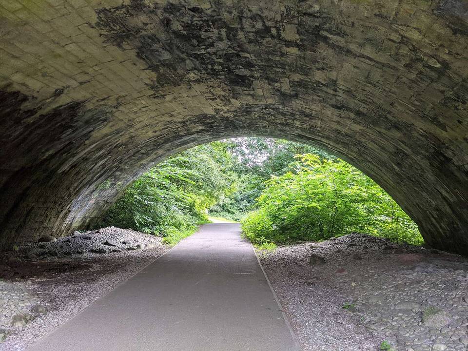
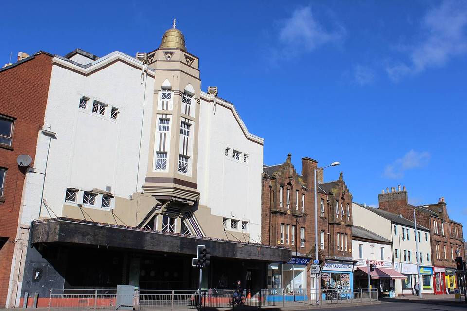
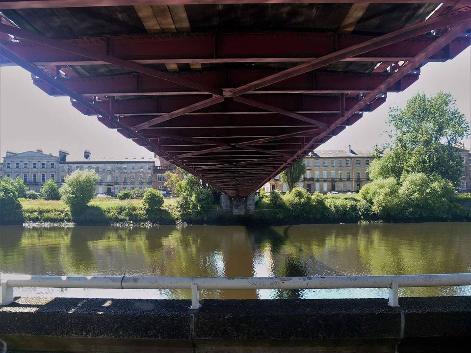
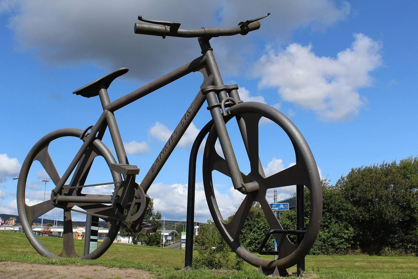
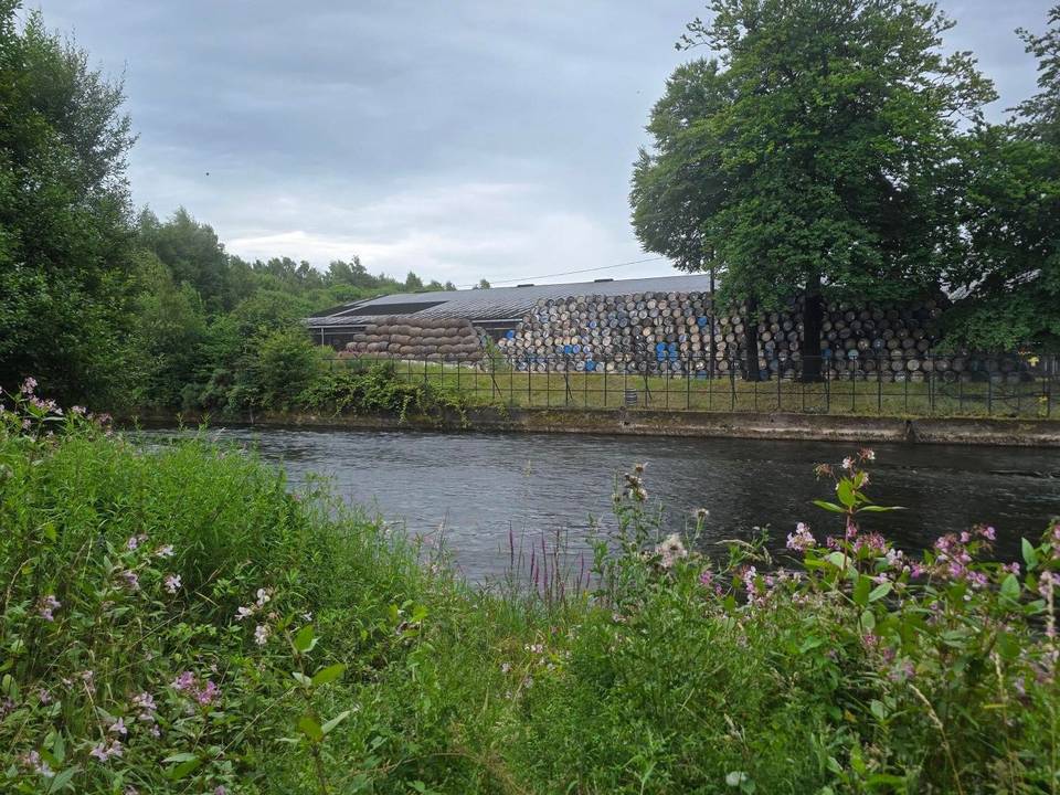
2 photographs from the road

Photo: Leslie Barrie · CC BY-SA 2.0 · Wikimedia Commons · Photo: John Lord from Edinburgh, Scotland · CC BY 2.0 · Wikimedia Commons · Photo: Jim Smillie · CC BY-SA 2.0 · Wikimedia Commons