Cyclists.com

Paisley to Alloway

Paisley, Renfrewshire, United KingdomRoad

Signed route The waymarked National Cycle Route 7 (Scotland section) (Walk Wheel Cycle Trust), traced from OpenStreetMap and measured against the terrain model; no member has recorded it yet. Stage 3 of 3 of the National Cycle Route 7 (Scotland section). Ridden it? Add your recording and photos.

75 km
Distance
178 m
Elevation gain
Moderate
Difficulty
Paved
Surface
Download GPXMap

Elevation profile

Total ascent
178 m
Distance
75 km
020406080m0 km20406075 km75 m · highest, at 27.7 kmStartFinish

Route overview

Suitable for cyclists comfortable with a moderate distance and low climbing.

Stage 3 of 3 of the National Cycle Route 7 (Scotland section): 74.5 km from Paisley to Alloway with 178 m of climbing, on the signed route.

Starting in Paisley at 0 km near Saucel Hill, the route heads through places including Johnstone, Kilbarchan, and Lochwinnoch. Most climbing occurs in the first half (66% of 178 m total), with the highest point at 75 m near 26.6 km. The profile is predominantly flat (93%), with minimal steep gradients. The path surface is mainly paved (96%) with about 2% gravel or unpaved, and a few percent unmapped. The ride features a mix of road types: 60% cycle path, 21% minor roads, 11% quiet streets, 5% path, and small stretches on main roads or roads with cycle lanes. There are 2.4 km on main roads without a cycle lane, and 8.4 km on roads with limits of 80 km/h or more. Named roads include 9 km on the Dalry and North Johnstone rail trail, 3.7 km on NCN7, and 3.1 km on U32. Facilities along the route include cafés at various points like 0 km (Spoons Coffee House), 6.6 km (Starbucks), 14.9 km (Castle Semple Visitors Centre), 41.6 km (Small Talk), 54.1 km (Blueberry's Coffee Shop & Bakery), and 61.3 km (Mancini's Cafe). Shops such as Morrisons (6.2 km), Tesco (21 km), Asda (41.1 km), and Aldi (66.3 km) are available. Water taps and toilets are also present at several locations. Bailout stations include Paisley Canal, Howwood, Glengarnock, Kilwinning, Irvine, Barassie, Prestwick International Airport, and Newton-on-Ayr. The longest stretch without café, shop or water is 11.5 km from 22.6 to 34.1 km.

Highlights

  • Dalry and North Johnstone rail trail for 9 km
  • Highest point at 75 m near 26.6 km
  • Passes historic ruins like Semple Collegiate Church
  • Multiple cafés and shops along the route

Along the route

Measured from the recorded track and OpenStreetMap.

Places passed

  1. Ferguslie 2.1 km
  2. Lounsdale 2.1 km
  3. Elderslie 4.1 km
  4. Linwood 5.1 km
  5. Johnstone 6.4 km
  6. Kilbarchan 8.7 km
  7. Lochwinnoch 15.4 km
  8. Kilbirnie 21 km
  9. Glengarnock 22.1 km
  10. Longbar 23.6 km
  11. Highfield 27 km
  12. Kilwinning 34.9 km
  13. Irvine 40.6 km
  14. Fullarton 41.2 km
  15. Gailes 44.3 km
  16. Shewalton 46.2 km
  17. Barassie 50 km
  18. Troon 54 km
  19. Monkton 58.9 km
  20. Prestwick 60.9 km
  21. New Prestwick 63.2 km
  22. Newton-on-Ayr 65.5 km
  23. Wallacetown 66.3 km
  24. Ayr 66.6 km
  25. Fort 67.1 km
  26. Seafield 68.8 km
  27. Alloway 70.1 km
  28. Doonfoot 70.4 km

What this ride is like

Measured from OpenStreetMap along the track and the elevation profile.

Roads
60% cycle path · 21% minor road · 11% quiet street · 5% path
Main roads
2.4 km on main roads without a cycle lane — likely busier
Fast roads
8.4 km on roads with a limit of 80 km/h or more
Cycle paths
43.8 km on cycle paths or roads with a cycle lane
Main roads used
Dalry and North Johnstone rail trail (9 km), NCN7 (4 km), U32 (3 km)
Surface
Paved throughout
Gradient
4% climbing · 3% descending · 93% flat

Along the way

Within a few hundred metres of the track, from OpenStreetMap. Opening hours change — treat this as where to look, not a promise.

Food, water and shops

  1. 0 kmSpoons Coffee House · café · 90 m off route
  2. 0 kmDooleys · bike shop · 220 m off route
  3. 6.2 kmMorrisons · supermarket · 80 m off route
  4. 6.6 kmStarbucks · café · 100 m off route
  5. 21 kmTesco · supermarket · 290 m off route
  6. 34.9 kmHome · pub · 160 m off route
  7. 40.2 kmIrvine Cycles · bike shop · 310 m off route
  8. 41.6 kmSmall Talk · café · 100 m off route
  9. 51.3 kmToilets · on the route
  10. 52.3 kmMorrisons · petrol station · 30 m off route
  11. 52.6 kmRejuvenation Clinic · clinic · 120 m off route
  12. 54.1 kmWater tap · on the route
  13. 60.7 kmACS Prestwick · bike shop · 70 m off route
  14. 60.7 kmBoots · pharmacy · 60 m off route
  15. 61.3 kmTop Up Tap · drinking water · on the route
  16. 66.1 kmStobbs Extra · bakery · on the route
  17. 66.3 kmCarrick Cycles · bike shop · 80 m off route
  18. 68.8 kmToilets · 70 m off route

Need to bail out?

  • 0 kmPaisley Canal (station), 90 m off route
  • 11.1 kmHowwood (station), 710 m off route
  • 23.4 kmGlengarnock (station), 520 m off route
  • 34.9 kmKilwinning (station), 890 m off route
  • 41.1 kmIrvine (station), 60 m off route
  • 50.2 kmBarassie (station), 70 m off route
  • 59.5 kmPrestwick International Airport (station), on the route
  • 65.5 kmNewton-on-Ayr (station), 150 m off route

Whether bikes are carried depends on the service — check before relying on it.

Worth a stop

  • 0 kmSaucel Hill (peak, 41 m)
  • 12.9 kmSemple Collegiate Church (ruins)
  • 16.2 kmBarr Castle (castle)
  • 22.5 kmCrannog (archaeological site)
  • 34.9 kmMercat Cross (monument)
  • 63.1 kmRuin of Lazar House (ruins)

At the start

  • Paisley Canal · station · 90 m
  • Spoons Coffee House · café · 90 m
  • The Wellington · pub · 100 m
  • Canal Station · restaurant · 130 m
  • The_Afton · pub · 140 m

Stay after this ride

  • Greenan Lodge · guest house · 730 m from the finish
  • The Chestnuts · hotel · 3.0 km from the finish
  • Blackburn Villa B&B · guest house · 3.4 km from the finish
  • Savoy Park Hotel · hotel · 3.6 km from the finish
  • Fairfield House Hotel · hotel · 3.8 km from the finish

Practical information

Surface
Paved
Route shape
Point to point
Riding time
5 h 19 min
Best months
Jun to Aug — daily highs of 17–18 °C in those months

Know before you go

  • 11.5 km with no café, shop or water between km 22.6 and 34.1
  • 2.4 km on main roads without a cycle lane
  • 8.4 km on roads with speed limits of 80 km/h or more
  • 2% gravel or unpaved surface

Routes are for inspiration. Roads, surfaces and conditions change — check locally and ride within your limits.

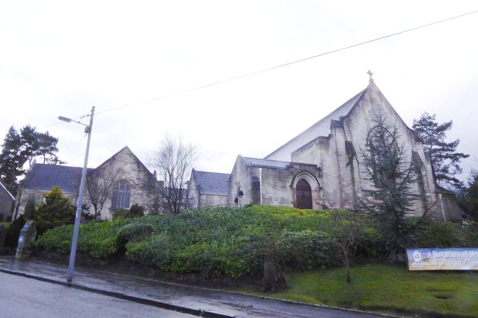
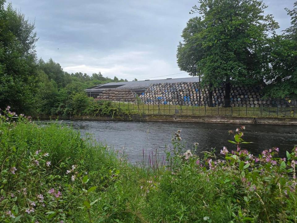
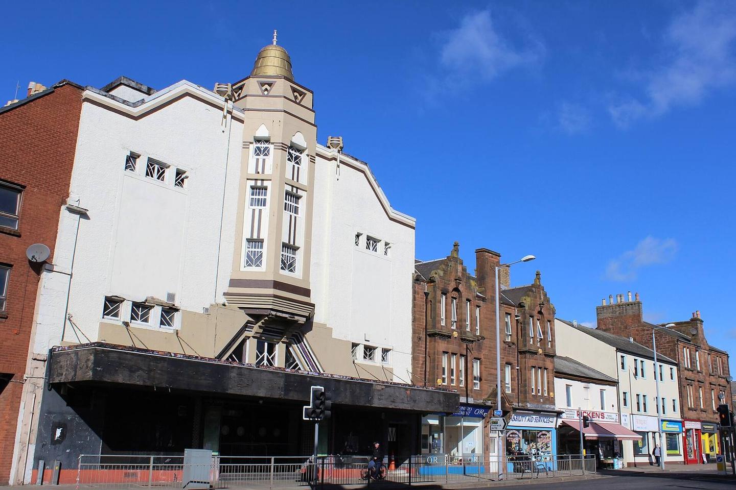
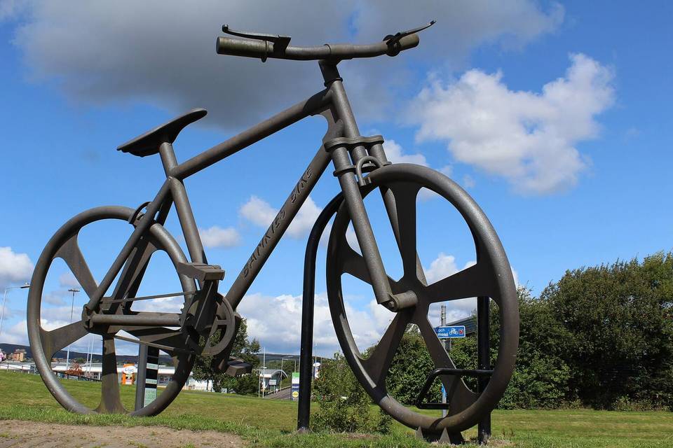
2 photographs from the road

Photo: Leslie Barrie · CC BY-SA 2.0 · Wikimedia Commons · Photo: Richard Sutcliffe · CC BY-SA 2.0 · Wikimedia Commons · Photo: Colin Park · CC BY-SA 2.0 · Wikimedia Commons

Stage of