Road · United Kingdom
A77 Cycle Route
A rolling 27 km road cycling route from Giffnock, East Renfrewshire through Whitecraigs, Crookfur and Mearns, with 166 m of climbing. 78% is on cycle paths or roads with a cycle lane.
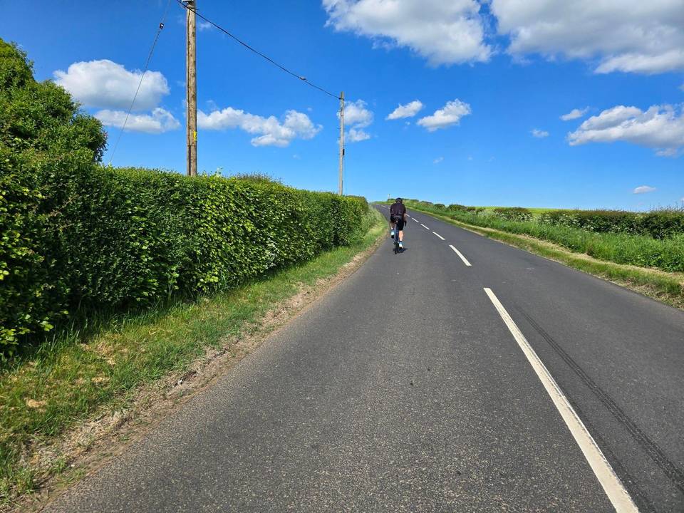
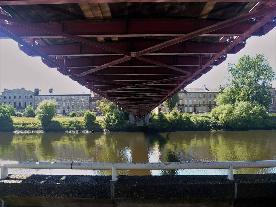
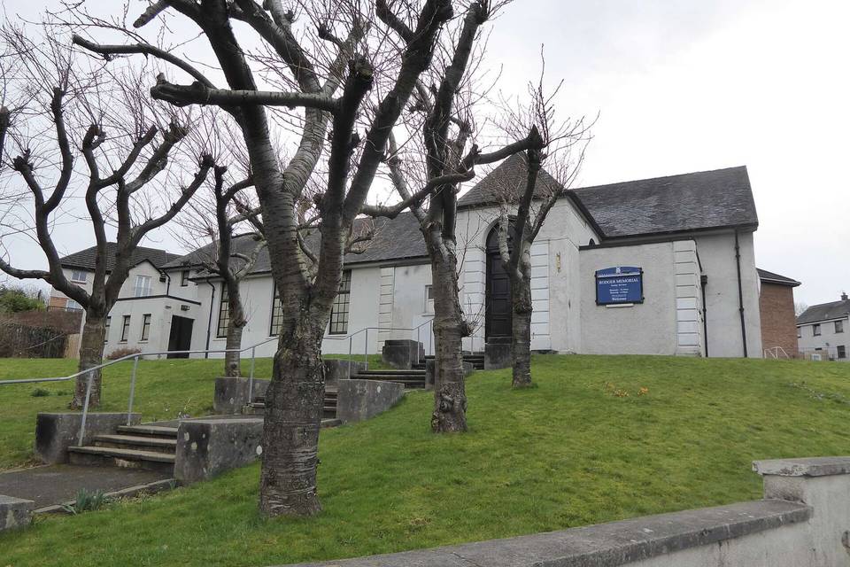
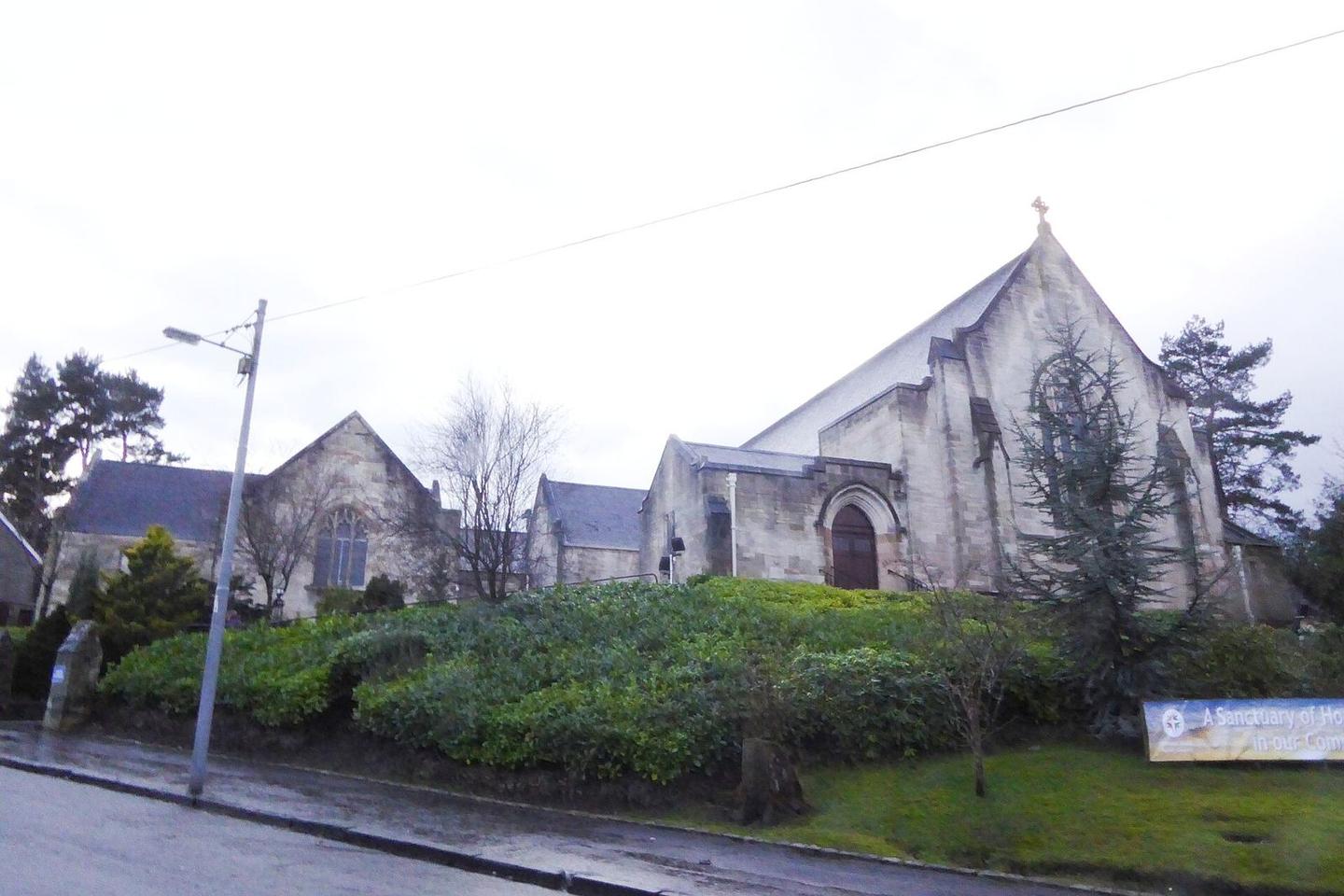
2 photographs from the road
At a glance
- Best for
- Rolling day rides
- Distance
- 26.5 km
- Elevation gain
- 166 m
- Riding time
- 1 h 54 min
- Difficulty
- Easy
- Bike
- Road bike
- Surface
- Paved
- Traffic
- Mostly cycle paths
- Food & water
- Regular
- Best months
- Jun to Aug
- Navigation
- GPX download
- Start → finish
- Giffnock
Map and elevation profile
Elevation profile
- 166 m
- 27 km
Route description
- Giffnock
- Whitecraigs
- Crookfur
- Mearns
- Paidmyre
- Netherplace Estate
- Malletsheugh
- Loganswell
- Fenwick
Starting at Giffnock, the route passes through Woodfarm, Eastwoodmains, and further suburbs, reaching Newton Mearns around 3.4 km. Climbing begins near Broom at 2 km, continuing for 4.3 km with an average gradient of 2.1% and topping out at 184 m. The route then passes through several more local areas including Loganswell and St Martin's around 9 km, riding beneath hills like Fauldside Hill, Barrance Hill, and Blackloch Hill.
Surface is 99% paved with 1% unmapped, riding mainly on cycle paths (54%) and roads with cycle lanes (24%), with 17% on main roads and a short 0.8 km on quiet streets. The A77 is the longest named road section at 6.8 km. There is 4.4 km on main roads without cycle lanes and 2.2 km on roads with speeds over 80 km/h. Between 4.8 km and 19.2 km there is a 14.4 km stretch without cafés, shops, or water, but there are outlets near the start and finish. The ride finishes at Kilmarnock passing Bonnyton at 26.4 km.
Why ride this route?
- 78% on cycle paths or lanes.
Highlights
- Climb starts at Broom and rises 88 m over 4.3 km
- Route passes beneath Fauldside Hill and Blackloch Hill
- Longest named road is the A77 for 6.8 km
- Longest descent is 3.4 km dropping 52 m from 13.5 km
Along the route
Places passed
Climbs
| Climb | Starts at | On this ride | Top on this ride |
|---|---|---|---|
| Unnamed climb | 2 km | 4.3 km · 88 m · 2.1 % · max 3.2 % | 184 m |
Traffic, surface and gradient
Much of the route is separated from traffic: 78% is on cycle paths or roads with a cycle lane.
- Roads
- 54% cycle path · 24% road with cycle lane · 17% main road · 3% quiet street · 2% other roads and tracks
- Main roads
- 4.4 km on main roads without a cycle lane — likely busier
- Fast roads
- 2.2 km on roads with a limit of 80 km/h or more
- Cycle paths
- 20.7 km on cycle paths or roads with a cycle lane
- Main roads used
- A77 (7 km)
- Surface
- Paved: 99% of the route is mapped as paved.
- Gradient
- 21% climbing · 14% descending · 66% flat
- Longest descent
- 3.4 km from 13.5 km, dropping 52 m
Food, water and services
No stretch is longer than 15 km without a café, shop or water. Along the route: 21 cafés and restaurants, 7 shops and 3 petrol stations.
Food, water and shops in ride order
- 2.2 kmMearns Pharmacy · pharmacy · on the route
- 3.4 kmThe Market Place · café · 90 m off route
- 3.4 kmEsso · petrol station · on the route
- 3.5 kmAsda · supermarket · 70 m off route
- 19.2 kmThe Kings Arms · pub · 200 m off route
- 24.1 kmBello Luca · café · 80 m off route
- 24.1 kmTesco · supermarket · 80 m off route
- 24.1 kmBP · petrol station · 30 m off route
- 24.1 kmLloyds Pharmacy · pharmacy · 80 m off route
Need to bail out?
- 0.8 km — Whitecraigs (station), 80 m off route
- 26.2 km — Kilmarnock (station), 730 m off route
Worth a stop
- 7.7 km — Robert Pollock Monument (monument)
- 14.7 km — Harelaw Farm Wedding Venue (attraction)
Stay after this ride
- Dean Park Guest House · guest house · 980 m from the finish
- Park Hotel · hotel · 1.4 km from the finish
- Premier Inn · hotel · 2.0 km from the finish
- Travelodge · hotel · 3.2 km from the finish
Start and access
At the start
- Trains and ferries
- Whitecraigs (840 m), Williamwood (790 m)
- Food and coffee
- Bank Pub (90 m), Boathouse (780 m)
At the finish
- Trains and ferries
- Kilmarnock (800 m)
- Food and coffee
- Brownings (factory shop) (240 m)
- Shops
- KeyStore (690 m)
- Pharmacy and medical
- Numark Pharmacist (980 m)
Know before you go
- 14.4 km with no café, shop or water from 4.8 km to 19.2 km
- 4.4 km on main roads without a cycle lane
- 2.2 km on roads with 80 km/h+ speed limits