Road · United Kingdom
National Cycle Route 756
A flat 22 km road cycling route from West Mains, South Lanarkshire through Nerston, Springhall and Spittal, with 55 m of climbing. 56% is on cycle paths or roads with a cycle lane.
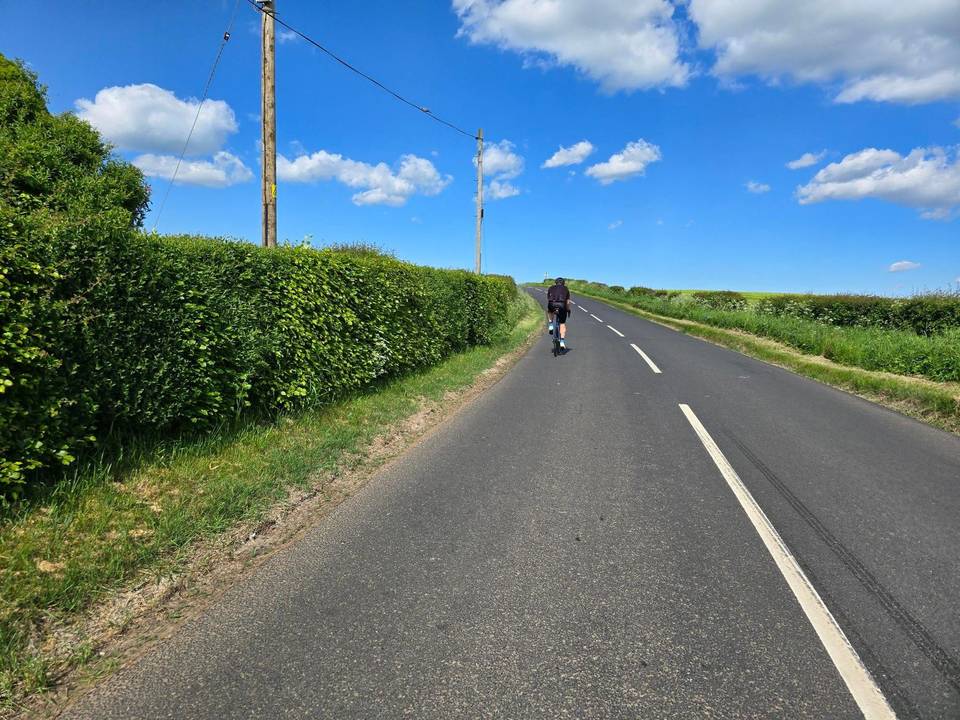
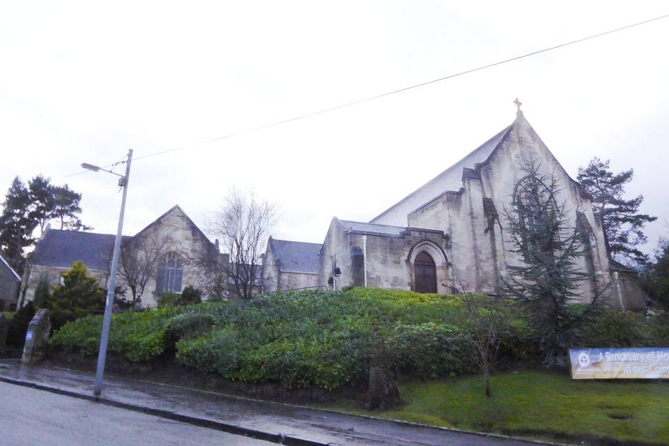
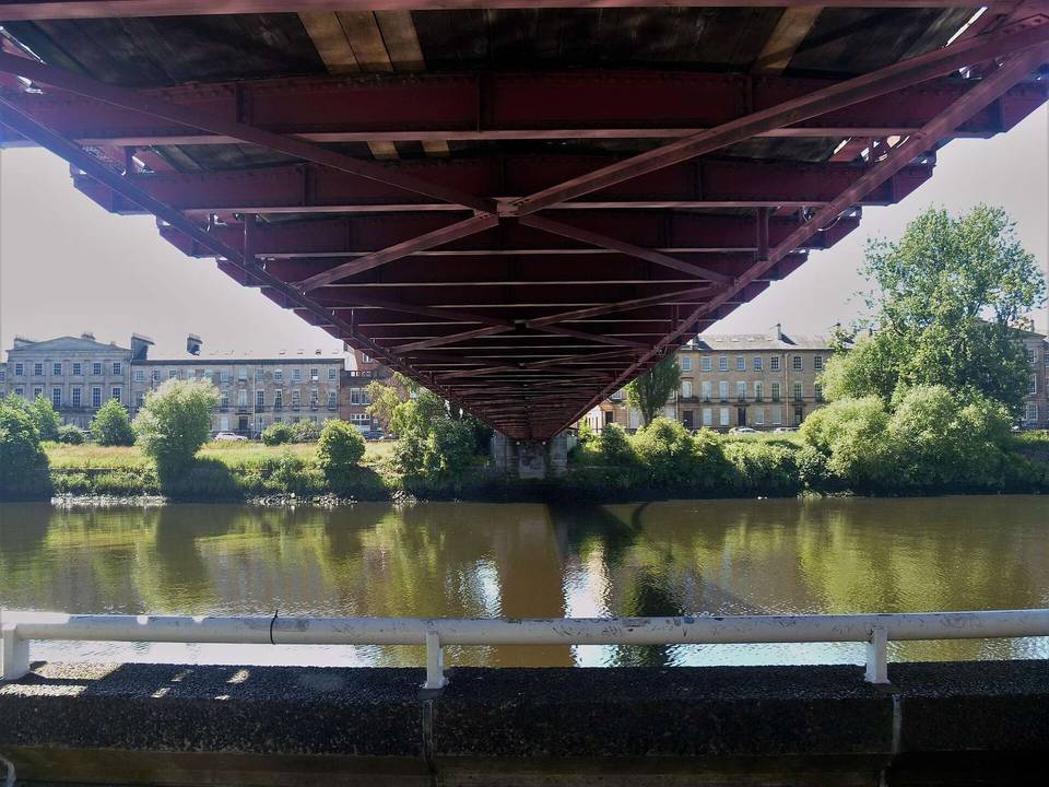
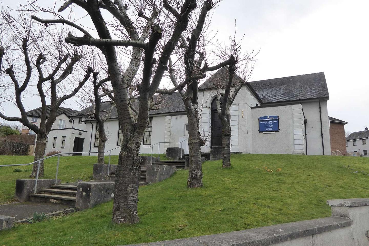
2 photographs from the road
At a glance
- Best for
- Steady riding away from traffic
- Distance
- 22.2 km
- Elevation gain
- 55 m
- Riding time
- 1 h 35 min
- Difficulty
- Easy
- Bike
- Road bike
- Surface
- Paved
- Traffic
- Mostly cycle paths
- Food & water
- Regular
- Best months
- Jun to Aug
- Navigation
- GPX download
- Start → finish
- West Mains
Map and elevation profile
Elevation profile
- 55 m
- 22 km
Route description
- West Mains
- Nerston
- Springhall
- Spittal
- Newfield
- Shawfield
- Calton
- Kingston
- Sandyford
National Cycle Route 756 begins at East Kilbride near West Mains and The Village, passing through several towns including Nerston Village, Springhall, and Burnside before entering Glasgow areas like Bridgeton and Gorbals. The route ends near Kelvindale in Glasgow.
The route has a relatively flat profile with just 55 m of climbing over 22.2 km and a high point of 173 m close to 3.9 km, near Nerston Wardlaw. The longest descent is 5.1 km from 4.2 km to 9.3 km dropping 140 m. The gradients over 5% are very limited, with only 0.1 km each above 5%, 8%, and 10%, located mostly near the start.
Surface is mostly paved (95%) with 2% on gravel or unpaved. Route comprises 56% cycle path, 20% quiet streets, and minor shares of main and minor roads. There is 1.6 km on main roads without a cycle lane. The longest stretch without a cafe, shop or water is 3.2 km from km 3 to 6.2. There are multiple cafés, bike shops, water taps, and stations close enough along the route, including bail-out stations at East Kilbride, Burnside, and Anderston.
Why ride this route?
- A 5.1 km descent dropping 140 m.
- 56% on cycle paths or lanes.
Highlights
- Passing through East Kilbride and Glasgow
- High point at 173 m near 3.9 km
- Longest descent of 5.1 km
- Cycle paths 56% of route
Along the route
Places passed
Traffic, surface and gradient
Much of the route is separated from traffic: 56% is on cycle paths or roads with a cycle lane.
- Roads
- 56% cycle path · 20% quiet street · 9% path · 7% main road · 8% other roads and tracks
- Main roads
- 1.6 km on main roads without a cycle lane — likely busier
- Cycle paths
- 12.4 km on cycle paths or roads with a cycle lane
- Surface
- Paved: 95% of the route is mapped as paved, 2% as unpaved and 2% has no surface data.
- Gradient
- 7% climbing · 22% descending · 71% flat
- Longest descent
- 5.1 km from 4.2 km, dropping 140 m
Food, water and services
No stretch is longer than 15 km without a café, shop or water. Along the route: 367 cafés and restaurants, 70 shops, 2 water points, 2 petrol stations, 5 public toilets and 48 bike shops.
Food, water and shops in ride order
- 2.1 kmAldi · supermarket · 130 m off route
- 2.8 kmSainsbury's · petrol station · 60 m off route
- 3 kmStarbucks · café · on the route
- 6.5 kmBurns Pharmacy · pharmacy · 110 m off route
- 8.4 kmHugh's Restaurant · restaurant · 380 m off route
- 9.9 kmAldi · supermarket · 80 m off route
- 13.8 kmWay to Go · café · 70 m off route
- 13.9 kmNumber Ten · bike shop · 60 m off route
- 14.4 kmToilets · 50 m off route
- 15.3 kmTop Up Tap · drinking water · on the route
- 17 kmLG Pharmacy · pharmacy · on the route
- 18.6 kmOffshore · café · 40 m off route
- 18.9 kmRoots, Fruits & Flowers: Wholefoods, Organics & Deli · supermarket · 40 m off route
- 19 kmRepair stand · 50 m off route
- 19.9 kmToilets · 90 m off route
- 20 kmTop Up Tap · drinking water · 140 m off route
Need to bail out?
- 0.1 km — East Kilbride (station), on the route
- 8.4 km — Burnside (station), 280 m off route
- 16.5 km — Anderston (station), 60 m off route
Worth a stop
- 0.9 km — Rig & Furrow (late medieval) (archaeological site)
- 5 km — Kirk Burn Motte (archaeological site)
- 10.1 km — Mercat Cross (monument)
- 19.5 km — Former North Woodside Flint Mills (ruins)
Stay after this ride
- Queen Margaret Residences · apartment · 930 m from the finish
- Ambassador Hotel · hotel · 1.6 km from the finish
- Belhaven Hotel · hotel · 1.4 km from the finish
- Kelvin Hotel · guest house · 1.9 km from the finish
- Argyle Western Hotel · hotel · 1.9 km from the finish
Start and access
At the start
- Trains and ferries
- East Kilbride (30 m)
- Food and coffee
- Barocco (290 m), Montgomerie Arms (290 m), Mata Hari (320 m)
- Shops
- Lidl (590 m)
At the finish
- Trains and ferries
- Maryhill (550 m), Kelvindale (610 m)
- Bikes and repair
- Maryhill Library Station (8213) (640 m)
- Pharmacy and medical
- Maryhill Health & Care Centre (560 m), LG Pharmacy (610 m), Gairbraid Pharmacy (710 m)
Know before you go
- Longest stretch without café, shop or water for 3.2 km between km 3 and 6.2
- 1.6 km on main roads without a cycle lane