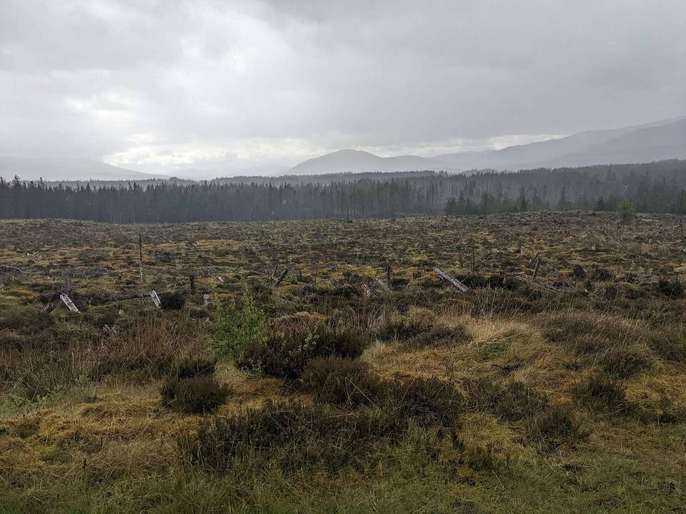
Gravel · United Kingdom
Gravel loop rides from Aberfoyle with 50-67 km routes featuring moderate climbing and mostly unpaved surfaces.
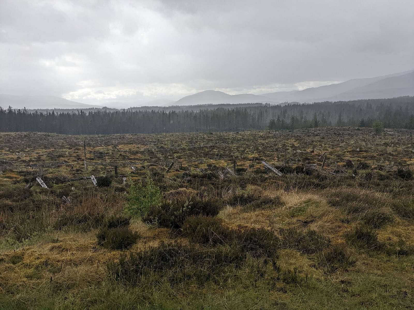
The Stirling region offers two gravel loop routes starting from Aberfoyle, measuring between 50 km and 67 km. These rides include climbing ranging from 556 m to 883 m. Both routes form loops and pass through mainly unpaved tracks and minor roads.
The area has a mix of terrain with 41% flat sections and 31% climbing, including steep segments up to 9.3% over 500 m. The rides include sections on main roads though mostly on tracks, with no dedicated cycle paths reported. Recorded rides are from May, with the best months for cycling being June to August when daily highs range from 17°C to 18°C.
The riding in Stirling is characterised by gravel loop routes with lengths of 50-67 km. The terrain is rolling with significant climbing, some on gradients over 8% and a small section over 10%. Route surfaces are predominantly unpaved (83%) with 17% paved. The biggest climbs reach up to 883 m elevation gain, and steepest grades recorded reach 9.3% over 500 m. Road usage includes mostly tracks (82%) with minor amounts of main road, quiet street, and minor road.
Across the two routes, cycle path coverage is 0 km. The roads include 13.4 km of main roads without cycle lanes, and 13.2 km of roads with speed limits of 80 km/h or more. Track surfaces cover 82% of route distance.
The recorded month for rides is May. Based on ten-year daily highs, the best months for cycling are June to August with average highs of 17-18°C.
Best months: Jun to Aug.