Stirling to Wallyford
- 92 km
- 288 m
- Moderate
- Paved
Elevation profile
- 288 m
- 92 km
Route overview
Suitable for riders comfortable with moderate distance and gentle climbing over mixed surfaces including some gravel.
Stage 2 of 2 of the National Cycle Route 76: 92.3 km from Stirling to Wallyford with 288 m of climbing, on the signed route.
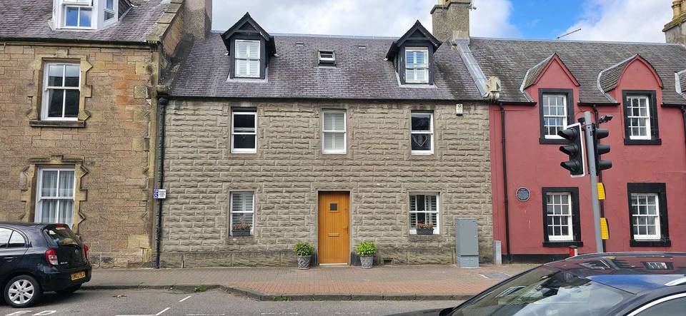
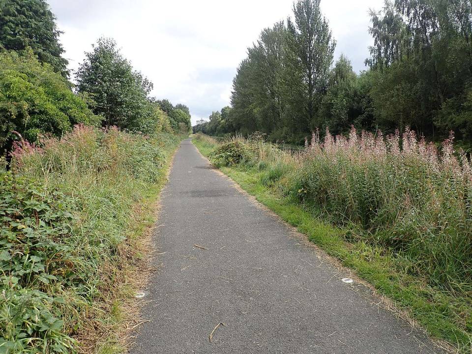
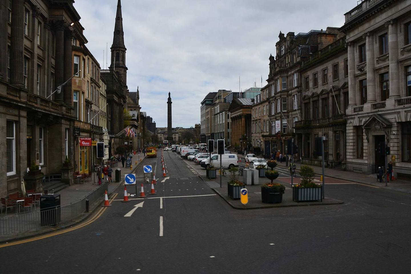
The ride begins in Stirling, passing through Riverside, Old Town, Cambuskenneth, Springkerse and Fallin before reaching Cowie and Kinnaird Village. Early kilometers cover a mixture of mainly paved surfaces on quiet streets, minor roads, paths and tracks. At 28.7 km the route passes Grangemouth then continues along minor roads and cycle paths through Bo'ness, Blackness and South Queensferry towards Edinburgh, closely following low-lying terrain with some gentle undulations. From km 32.6 there is a 1.7 km climb gaining 47 m at an average gradient of 2.7%, with the steepest section at 4.1%. The route reaches a maximum elevation of 91 m at 73 km near Edinburgh before descending towards the finish at Wallyford. Approximately 84% of the route is paved, with 15% gravel or unpaved. Main roads cover only 3% of the distance, with 2.6 km on main roads without a cycle lane and 14.3 km on roads posted at 80 km/h or more. There are cafés, shops and water stops regularly, with highlights including cafés at Stirling (Toast) and near Grangemouth (Asda Café), Manna House Bakery at 54 km, and several cafés in Edinburgh. The longest stretch without café, shop or water is 8 km between 54.9 and 62.9 km. Bailout options include train stations at Stirling, Bo'ness, Haymarket and Newcraighall, and the ferry at Hawes Pier.
Highlights
- The 1.7 km climb starting at 32.6 km
- Passing through Grangemouth at 28.7 km
- Edinburgh city centre near 72 km
- Longest café-free stretch 8 km (54.9 to 62.9 km)
Along the route
Places passed
Climbs
| Climb | Starts at | Length | Gain | Average | Max | Top |
|---|---|---|---|---|---|---|
| — | 32.6 km | 1.7 km | 47 m | 2.7 % | 4.1 % | 52 m |
What this ride is like
- Roads
- 26% quiet street · 26% cycle path · 24% minor road · 9% path
- Main roads
- 2.6 km on main roads without a cycle lane — likely busier
- Fast roads
- 14.3 km on roads with a limit of 80 km/h or more
- Cycle paths
- 24.8 km on cycle paths or roads with a cycle lane
- Surface
- 84% paved · 15% gravel or unpaved
- Gradient
- 7% climbing · 6% descending · 87% flat
Along the way
Food, water and shops
- 0 kmActive Travel Hub · bike shop · 240 m off route
- 0.1 kmStirling Bus Station · toilets · 220 m off route
- 28.7 kmAsda · petrol station · 80 m off route
- 28.8 kmAsda Café · café · 90 m off route
- 29.8 kmRepair stand · 140 m off route
- 38.9 kmThe Junction · café · 110 m off route
- 45.2 kmThe Lobster Pot · pub · on the route
- 53.9 kmScotmid · supermarket · 160 m off route
- 54.2 kmManna House Bakery · café · 50 m off route
- 54.5 kmToilets · on the route
- 65.7 kmTesco · supermarket · 110 m off route
- 68 kmSainsbury's · petrol station · 60 m off route
- 72.7 kmTop Up Tap · drinking water · 180 m off route
- 73.2 kmMackenzie & Co. Chemists · pharmacy · on the route
- 74 kmToilets · on the route
- 79.4 kmAsda · petrol station · 220 m off route
- 84.1 kmCompany Bakery · bakery · 130 m off route
- 84.5 kmAce Bike Co · bike shop · 260 m off route
Need to bail out?
- 0 km — Stirling (station), 150 m off route
- 39.7 km — Bo'ness (station), 180 m off route
- 54.7 km — Hawes Pier (ferry), 170 m off route
- 70.4 km — Haymarket (station), 120 m off route
- 81 km — Newcraighall (station), 40 m off route
- 87.9 km — Wallyford (station), 930 m off route
Worth a stop
- 12.3 km — Plean Castle (castle)
- 36.6 km — Kinneil House (castle)
- 48.5 km — Ruined wall (ruins)
- 54.5 km — Forth Railway Bridge Viewpoint (viewpoint)
- 58.8 km — Barnbougle Castle (castle)
- 62.9 km — James V attacked at Cramond Brig A.D.1532 (monument)
At the start
- Toast · café · 130 m
- Stirling · station · 150 m
- Nando's · restaurant · 180 m
- Premier Inn · restaurant · 200 m
- The Coffee House · café · 220 m
At the finish
- Wallyford · station · 950 m
Stay after this ride
- Drummohr Camping Ground · campsite · 470 m from the finish
- Arden House · guest house · 1.5 km from the finish
- Craigesk · guest house · 1.2 km from the finish
Practical information
- Paved
- Point to point
- 6 h 36 min
- Jun to Aug — daily highs of 17–18 °C in those months
Know before you go
- 8 km without café, shop or water between 54.9 km and 62.9 km
- 2.6 km on main roads without cycle lane
- 14.3 km on roads with speed limits 80 km/h or more
- 15% of the route is gravel or unpaved