Cyclists.com

National Cycle Route 768

Menstrie, Clackmannanshire, United KingdomRoad

Signed route The waymarked National Cycle Route 768 (Walk Wheel Cycle Trust), traced from OpenStreetMap and measured against the terrain model; no member has recorded it yet. Ridden it? Add your recording and photos.

9 km
Distance
45 m
Elevation gain
Easy
Difficulty
Paved
Surface
Download GPXMap

Elevation profile

Total ascent
45 m
Distance
9 km
0204060m0 km2469 km41 m · highest, at 4.7 kmStartFinish

Route overview

Short rides with low climbing suit most riders looking for an easy route.

An 8.6 km cycle route from Tullibody through Menstrie to Coalsnaughton in Clackmannanshire with mild elevation and mixed surfaces.

The route begins at Tullibody (0 km), quickly passing through Menstrie at 0.8 km. It continues to Alva at 4.2 km where the highest point of 40 m is reached shortly after. The climb is gentle with only 15% of the route involving climbing, and the steepest sustained gradient is 2.6% over 500 m at 4.1 km. Descents total 12%, with the longest being a 1.1 km stretch dropping 26 m from 4.7 km. The path follows mostly paved surfaces (94%) across quiet streets, cycle paths, minor roads, and some short paths, with 35% on quiet streets, 34% on cycle paths, 23% on minor roads, and a small unmapped share (6%).

Highlights

  • Highest point near Alva at 4.7 km
  • Old St Serf's Church ruins at 4.8 km
  • Menstrie Castle café at start
  • Cycle path sections covering 2.9 km

Along the route

Measured from the recorded track and OpenStreetMap.

Places passed

  1. Alva 4.2 km

What this ride is like

Measured from OpenStreetMap along the track and the elevation profile.

Roads
35% quiet street · 34% cycle path · 23% minor road · 6% path
Cycle paths
2.9 km on cycle paths or roads with a cycle lane
Surface
Paved throughout
Gradient
15% climbing · 12% descending · 73% flat

Along the way

Within a few hundred metres of the track, from OpenStreetMap. Opening hours change — treat this as where to look, not a promise.

Food, water and shops

  1. 0.8 kmScotmid · supermarket · 370 m off route
  2. 2.8 kmRepair stand · 470 m off route
  3. 4.4 kmThe No 5 Inn · pub · 50 m off route
  4. 8.3 kmCo-op Food · supermarket · 220 m off route
  5. 8.3 kmWell Pharmacy · pharmacy · 210 m off route
  6. 8.5 kmBike rental · 440 m off route
  7. 8.6 kmBB’s Coffee and Muffins · café · 180 m off route
  8. 8.6 kmToilets · 150 m off route

Worth a stop

  • 4.8 kmOld St Serf's Church (ruins)

At the start

  • Menstrie Castle · café · 910 m
  • Scotmid · supermarket · 990 m

At the finish

  • BB’s Coffee and Muffins · café · 180 m
  • Costa · café · 190 m
  • Co-op Food · supermarket · 440 m
  • West End Bakes · bakery · 360 m
  • Well Pharmacy · pharmacy · 410 m

Stay after this ride

  • Johnstone Arms Hotel · hotel · 3.3 km from the finish

Practical information

Surface
Paved
Route shape
Point to point
Riding time
37 min
Best months
Jun to Aug — daily highs of 17–18 °C in those months

Know before you go

  • Longest stretch without café, shop or water: 3.1 km from 4.5 to 7.6 km

Routes are for inspiration. Roads, surfaces and conditions change — check locally and ride within your limits.

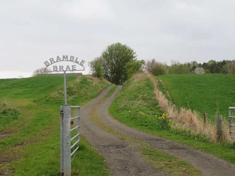
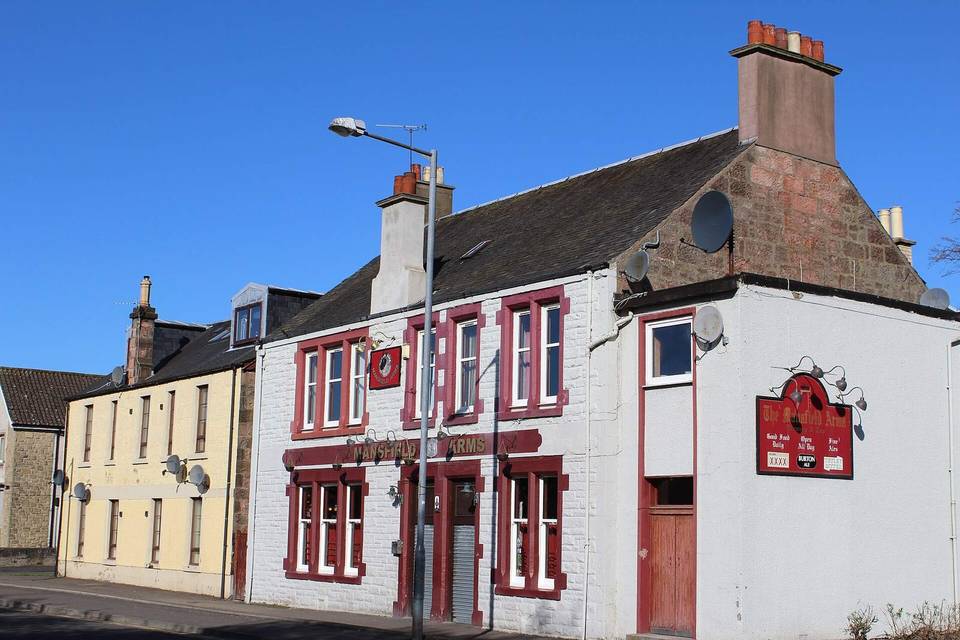
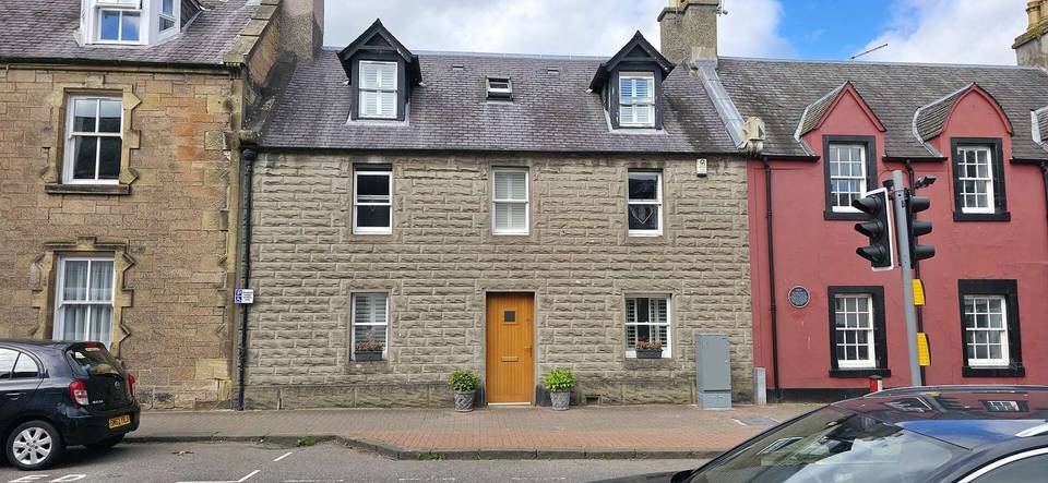
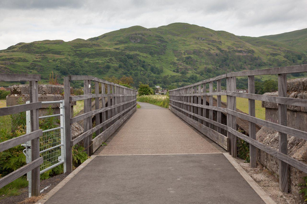
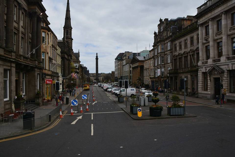
2 photographs from the road

Photo: Doug Lee · CC BY-SA 2.0 · Wikimedia Commons · Photo: Leslie Barrie · CC BY-SA 2.0 · Wikimedia Commons · Photo: Peter Wood · CC BY-SA 2.0 · Wikimedia Commons