Cyclists.com

The Devon Way

Dollar, Clackmannanshire, United KingdomRoad

Signed route The waymarked The Devon Way (National Cycle Network 767), traced from OpenStreetMap and measured against the terrain model; no member has recorded it yet. Ridden it? Add your recording and photos.

10 km
Distance
28 m
Elevation gain
Easy
Difficulty
Paved
Surface
Download GPXMap

Elevation profile

Total ascent
28 m
Distance
10 km
0204060m0 km2.557.510 km45 m · highest, at 7.0 kmStartFinish

Route overview

This short, mostly flat 10.2 km route suits cyclists looking for an easy ride with minimal climbing.

The Devon Way is a 10.2 km point-to-point cycle path in Clackmannanshire, United Kingdom, starting at Dollar and ending at Alloa.

The route starts at Dollar (km 0) and follows a mainly cycle path surface known as The Devon Way for about 8.4 km. It passes through Tillicoultry (km 4), Devonside (km 4.5), Coalsnaughton (km 4.6), Marchglen (km 5.5), Benview (km 6.1), Devon Village (km 6.4), Fishcross (km 6.9), and Sauchie (km 8.1) before reaching Alloa (km 9.8) where the route finishes. The route has a small total elevation gain of 28 m, with the highest point at 44 m reached around km 7, followed by a descent to the lowest point of 11 m at the finish. The profile is mostly flat with gentle gradients; climbing occurs mainly in the first half of the ride. The surface is predominantly paved (96%), with a small unpaved section (2%), and 92% of the route is on a cycle path. The steepest gradient recorded is 2.6% at km 4.3 over 500 m. Facilities along the route include a bakery 36 m off route at 4.6 km, a café 47 m off route near the finish, and convenience stores and supermarkets in Tillicoultry and Alloa. Toilets are available near km 4.1 and bike repair stands near km 8.6. The longest stretch without a café, shop, or water is 3.5 km from km 0 to km 3.5. A railway station is available at Alloa (km 9.3) for bailouts.

Highlights

  • The Devon Way cycle path for 9.4 km
  • Highest point at 44 m near km 7
  • Places visited: Tillicoultry, Sauchie, Alloa
  • Longest no café/shop/water stretch: 3.5 km from start

Along the route

Measured from the recorded track and OpenStreetMap.

Places passed

  1. Tillicoultry 4 km
  2. Devonside 4.5 km
  3. Coalsnaughton 4.6 km
  4. Marchglen 5.5 km
  5. Benview 6.1 km
  6. Devon Village 6.4 km
  7. Fishcross 6.9 km
  8. Sauchie 8.1 km

What this ride is like

Measured from OpenStreetMap along the track and the elevation profile.

Roads
92% cycle path
Cycle paths
9.4 km on cycle paths or roads with a cycle lane
Main roads used
The Devon Way (8 km)
Surface
Paved throughout
Gradient
10% climbing · 13% descending · 77% flat

Along the way

Within a few hundred metres of the track, from OpenStreetMap. Opening hours change — treat this as where to look, not a promise.

Food, water and shops

  1. 0 kmrightmedicine Pharmacy · pharmacy · 440 m off route
  2. 4 kmTesco Express · convenience store · 90 m off route
  3. 4.1 kmToilets · 90 m off route
  4. 4.6 kmWest End Bakes · bakery · 40 m off route
  5. 8.6 kmRepair stand · on the route
  6. 9.3 kmAsda · supermarket · 140 m off route
  7. 9.7 kmWell Pharmacy · pharmacy · 90 m off route
  8. 9.8 kmTop Up Tap · drinking water · 130 m off route
  9. 10 kmSnax Diner · café · 50 m off route

Need to bail out?

  • 9.3 kmAlloa (station), 80 m off route

Whether bikes are carried depends on the service — check before relying on it.

Worth a stop

  • 3.2 kmDruid stone circle (Ruins) (ruins)
  • 6.7 kmSauchie Tower (castle)

At the finish

  • Snax Diner · café · 150 m
  • MOCS · café · 240 m
  • The Royal Oak · pub · 140 m
  • Hong Kong · fast food · 220 m
  • Bayne's · bakery · 400 m

Stay after this ride

  • Garvally House Guest House · guest house · 440 m from the finish
  • Dunmar House Hotel · hotel · 2.0 km from the finish

Practical information

Surface
Paved
Route shape
Point to point
Riding time
44 min
Best months
Jun to Aug — daily highs of 17–18 °C in those months

Know before you go

  • 3.5 km longest stretch without café, shop or water from km 0
  • 13 km on main roads not specified in this route

Routes are for inspiration. Roads, surfaces and conditions change — check locally and ride within your limits.

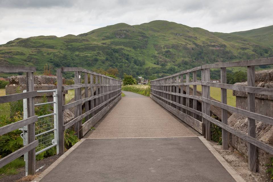
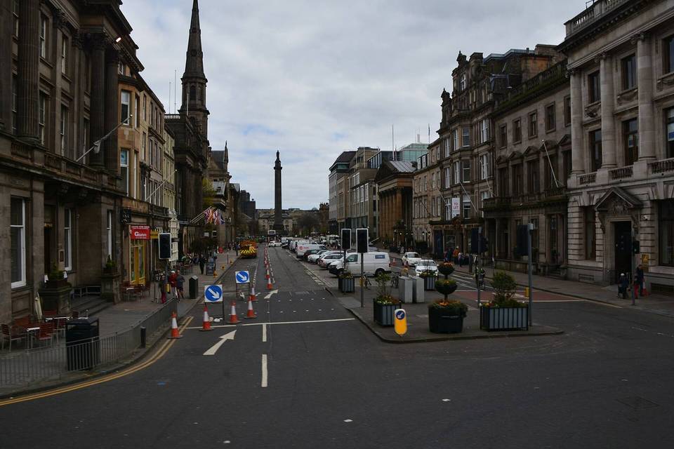
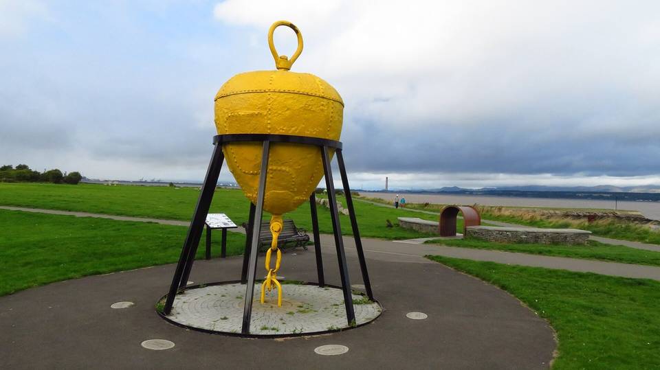
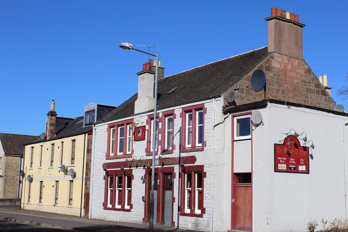
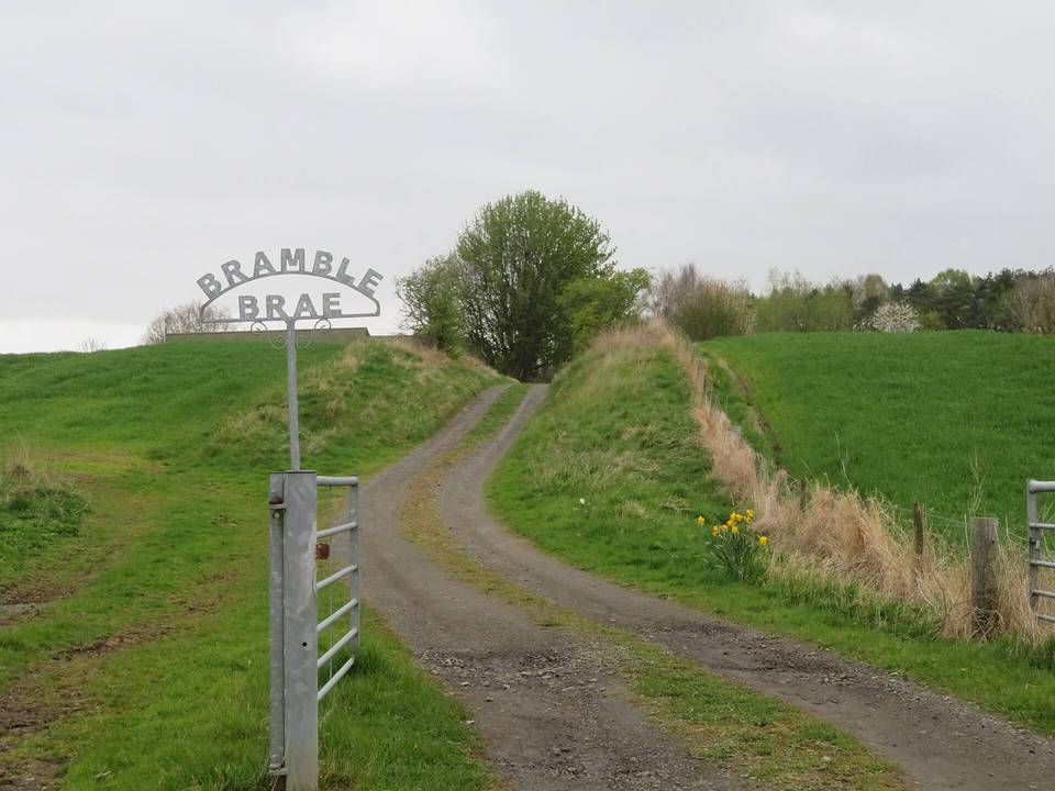
2 photographs from the road

Photo: Leslie Barrie · CC BY-SA 2.0 · Wikimedia Commons · Photo: WeeHolly · CC BY-SA 4.0 · Wikimedia Commons