Cyclists.com

National Cycle Route 765

Doune, Stirling, United KingdomRoad

Signed route The waymarked National Cycle Route 765 (Walk Wheel Cycle Trust), traced from OpenStreetMap and measured against the terrain model; no member has recorded it yet. Ridden it? Add your recording and photos.

18 km
Distance
132 m
Elevation gain
Easy
Difficulty
Paved
Surface
Download GPXMap

Elevation profile

Total ascent
132 m
Distance
18 km
050100150m0 km5101518 km131 m · highest, at 8.8 kmStartFinish

Route overview

This moderate distance with moderate climbing suits riders looking for a mixed-surface ride with some hills.

National Cycle Route 765 is an 18.3 km ride from Doune to Stirling in Stirling, United Kingdom.

The route begins at Doune with amenities like cafés and supermarkets available at the start. It follows a mixture of quiet streets, cycle paths, tracks, and minor roads with a mostly paved surface throughout (97%). Early on, the road climbs steadily from km 7.1 to 8.8 gaining 67 m at an average gradient of 4.1%, reaching the highest point at 130 m at 8.7 km near Pisgah. After this climb, the route descends for almost 3.8 km from km 9.2 to km 13, dropping 113 m to a low point of 5 m at 16.9 km. The majority of the climb is in the first half of the ride with flat and descending sections dominating later. The route continues through Bridge of Allan, Causewayhead, Cornton, Raploch, and finishes in Stirling and Riverside, passing near Mote Hill and Gowan Hill towards the end. Food and bike shops are found along the way, notably near Dunblane and Stirling. The longest stretch without café, shop, or water is 7.2 km from Doune to Dunblane. The surface is mainly paved with minimal gravel and unmapped sections, and the route includes a small section of 1.4 km on fast roads with speed limits of 80 km/h or more. Cycle paths or lanes cover 5.6 km in total. Route bailout points with railway stations are at Dunblane (7.3 km) and Stirling (18.2 km).

Highlights

  • Climb between km 7.1 to 8.8 averaging 4.1% gradient
  • Longest descent of 3.8 km dropping 113 m
  • Passes near Mote Hill and Gowan Hill at 17-18 km
  • Cycle paths and quiet streets cover 63% of the route

Along the route

Measured from the recorded track and OpenStreetMap.

Places passed

  1. Dunblane 7.3 km
  2. Pisgah 8.4 km
  3. Bridge of Allan 12.9 km
  4. Causewayhead 15.6 km

Climbs

ClimbStarts atLengthGainAverageMaxTop
7.1 km1.7 km67 m4.1 %6.1 %130 m

High point 130 m at 8.7 km; low point 5 m. Passes beneath Mote Hill, Gowan Hill.

What this ride is like

Measured from OpenStreetMap along the track and the elevation profile.

Roads
37% quiet street · 26% cycle path · 13% track · 13% minor road
Fast roads
1.4 km on roads with a limit of 80 km/h or more
Cycle paths
5.6 km on cycle paths or roads with a cycle lane
Surface
Paved throughout
Gradient
21% climbing · 27% descending · 52% flat
Steep sections
0.7 km over 5% · steepest 500 m averages 6% at 7.8 km
Longest descent
3.8 km from 9.2 km, dropping 113 m

Along the way

Within a few hundred metres of the track, from OpenStreetMap. Opening hours change — treat this as where to look, not a promise.

Food, water and shops

  1. 0 kmButtercup Cafe · café · 100 m off route
  2. 0 kmCo-op Food · supermarket · 40 m off route
  3. 0 kmWoodside Pharmacy · pharmacy · 130 m off route
  4. 0.1 kmToilets · 80 m off route
  5. 0.4 kmRepair stand · on the route
  6. 7.3 kmGreens of Dunblane · supermarket · on the route
  7. 7.3 kmToilets · 260 m off route
  8. 7.4 kmAnother Tilly Tearoom · café · on the route
  9. 12.3 kmBike rental · 230 m off route
  10. 12.9 kmWee Timorous Beastie Cafe · café · on the route
  11. 12.9 kmrightmedicine Pharmacy · pharmacy · on the route
  12. 13.1 kmToilets · 70 m off route
  13. 17.2 kmBayne's · bakery · 70 m off route
  14. 17.4 kmTesco · petrol station · 40 m off route
  15. 17.6 kmTesco · supermarket · 40 m off route
  16. 18 kmVelocity 44 · bike shop · 80 m off route
  17. 18.1 kmToilets · 150 m off route

Need to bail out?

  • 7.3 kmDunblane (station), 320 m off route
  • 18.2 kmStirling (station), 220 m off route

Whether bikes are carried depends on the service — check before relying on it.

Worth a stop

  • 7.3 kmOld Bleaching Green, Monument (monument)

At the start

  • Co-op Food · supermarket · 40 m
  • Buttercup Cafe · café · 100 m
  • Spar · supermarket · 40 m
  • Simply Sarah's · fast food · 110 m
  • Red Lion Inn · pub · 170 m

At the finish

  • HBW Coffee · café · 290 m
  • Stirling · station · 230 m
  • Tesco · supermarket · 360 m
  • Velocity 44 · bike shop · 290 m
  • Active Travel Hub · bike shop · 220 m

Stay after this ride

  • Forth Guest House · hotel · 70 m from the finish
  • Travelodge · hotel · 260 m from the finish
  • Munro Guest House · hotel · 330 m from the finish
  • William Wallace Hotel · hostel · 330 m from the finish
  • Golden Lion · hotel · 470 m from the finish

Practical information

Surface
Paved
Route shape
Point to point
Riding time
1 h 18 min
Best months
Jun to Aug — daily highs of 17–18 °C in those months

Know before you go

  • Longest stretch without café, shop or water is 7.2 km from start
  • 1.4 km on roads with speed limits of 80 km/h or higher
  • 0.7 km with gradient over 5%, including 0.1 km over 10%
  • 0.7 km on main roads

Routes are for inspiration. Roads, surfaces and conditions change — check locally and ride within your limits.

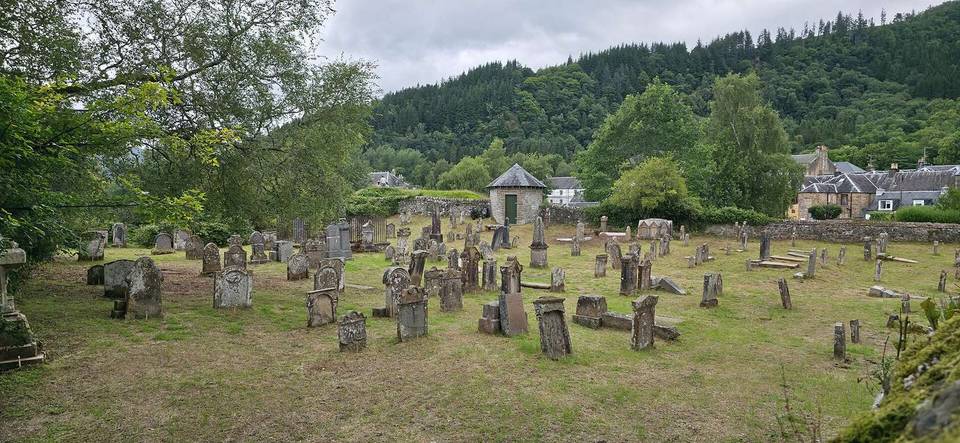
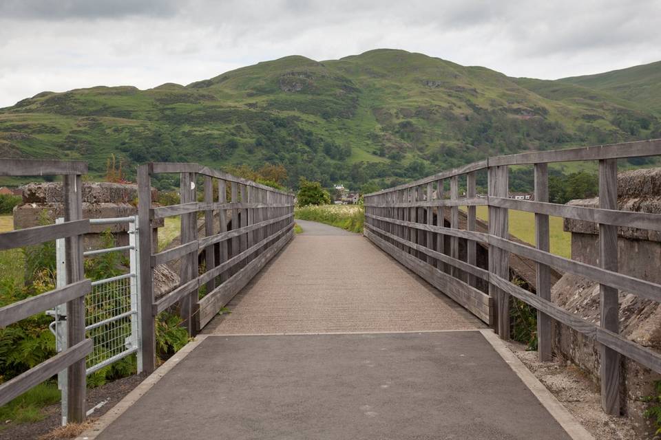
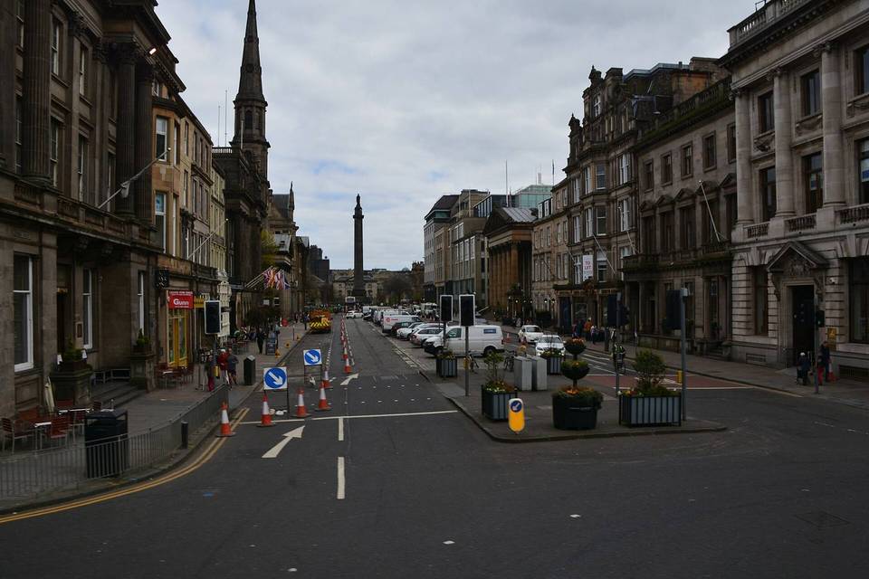
2 photographs from the road

Photo: Drkirstyross · CC BY-SA 4.0 · Wikimedia Commons · Photo: Ralph Greig · CC BY-SA 2.0 · Wikimedia Commons · Photo: R Gallacher · CC BY-SA 4.0 · Wikimedia Commons