Cyclists.com

Helix Around Town Trail

Carron, Falkirk, United KingdomMixed

Signed route The waymarked Helix Around Town Trail (local route HArTT), traced from OpenStreetMap and measured against the terrain model; no member has recorded it yet. Ridden it? Add your recording and photos.

25 km
Distance
115 m
Elevation gain
Easy
Difficulty
Mixed
Surface
Download GPXMap

Elevation profile

Total ascent
115 m
Distance
25 km
0255075100125m0 km102025 km104 m · highest, at 9.4 kmStartFinish · back at the start

Route overview

Suitable for riders seeking a moderate 25 km loop with some gentle climbing and mixed surfaces.

25 km loop around Falkirk from Carron with 115 m climbing on mixed paved and gravel surfaces.

The Helix Around Town Trail is a 25 km loop starting and finishing in Carron, passing through numerous communities including Bainsford, Camelon, Falkirk, and Stenhousemuir. The route climbs gradually to its highest point of 104 m near Glen Village at 9.2 km and then descends to its lowest point at 3 m near 21.5 km. The first half of the ride contains 86% of the elevation gain, with gentle gradients as the steepest 500 m section is only 5%. Surface is a mix of 78% paved roads and 20% gravel or unpaved sections. The route consists mostly of paths (66%), cycle paths (21%), some track (6%), quiet streets (4%), and only 3% on main roads. A stretch from km 15.2 to 17.7 has no café, shop or water for 2.5 km. Amenities are well spaced along the route, including cafés at 4.6 km and 21.1 km, fast food near the start and at 9.3 km, and several convenience stores. Bike repair stands and toilets are also available at a few points.

Highlights

  • Falkirk Wheel near 4.6 km
  • Highest point 104 m at Glen Village 9.2 km
  • Antonine Wall ruins near 15.1 km
  • Longest descent 2.3 km from 11.7 km

Along the route

Measured from the recorded track and OpenStreetMap.

Places passed

  1. Camelon 2.9 km
  2. Tamfourhill 6.1 km
  3. Bantaskin 7.4 km
  4. Lochgreen 7.8 km
  5. Woodlands 8.1 km
  6. Lionthorn 8.6 km
  7. Glen Village 9.2 km
  8. Hallglen 9.3 km
  9. Falkirk 10.2 km
  10. Laurieston 13.5 km
  11. Westquarter 13.7 km
  12. Redding 13.9 km
  13. Bowhouse 15.3 km
  14. Westfield 18.2 km
  15. Middlefield 20.1 km
  16. Auld Toon 21 km
  17. Langlees 22.8 km

What this ride is like

Measured from OpenStreetMap along the track and the elevation profile.

Roads
66% path · 21% cycle path · 6% track · 4% quiet street
Cycle paths
5.2 km on cycle paths or roads with a cycle lane
Surface
78% paved · 20% gravel or unpaved
Gradient
13% climbing · 14% descending · 73% flat
Longest descent
2.3 km from 11.7 km, dropping 53 m

Along the way

Within a few hundred metres of the track, from OpenStreetMap. Opening hours change — treat this as where to look, not a promise.

Food, water and shops

  1. 0.5 kmGreggs · fast food · 380 m off route
  2. 0.5 kmWell Pharmacy · pharmacy · 280 m off route
  3. 2.1 kmEsso · petrol station · 200 m off route
  4. 3.1 kmShopLocal · convenience store · 100 m off route
  5. 4.6 kmFalkirk Wheel Cafe · café · 50 m off route
  6. 4.6 kmToilets · on the route
  7. 4.6 kmRepair stand · on the route
  8. 9.3 kmTop Fry · fast food · 160 m off route
  9. 9.3 kmNew Hallglen Pharmacy · pharmacy · 150 m off route
  10. 13.7 kmAli's Store · convenience store · 140 m off route
  11. 15.2 kmBeijing Banquet · restaurant · on the route
  12. 17.7 kmrightmedicine Pharmacy · pharmacy · 430 m off route
  13. 21 kmTop Up Tap · drinking water · 100 m off route
  14. 21 kmRepair stand · 100 m off route
  15. 21.1 kmThe Milk Barn · café · 50 m off route
  16. 21.1 kmThe Horsebox · kiosk · 60 m off route
  17. 21.1 kmToilets · 50 m off route
  18. 24 kmEsso · petrol station · 260 m off route

Need to bail out?

  • 1.7 kmFalkirk Grahamston (station), 880 m off route
  • 8.3 kmFalkirk High (station), 130 m off route

Whether bikes are carried depends on the service — check before relying on it.

Worth a stop

  • 4.6 kmFalkirk Wheel (attraction)
  • 15.1 kmAntonine Wall (ruins)

At the start and finish

  • The Carron - Grouse Inn · pub · 500 m
  • Londis · convenience store · 520 m
  • Co-op Food · convenience store · 550 m
  • Greggs · fast food · 590 m

Practical information

Surface
Mixed
Route shape
Loop
Riding time
1 h 47 min
Best months
Jun to Sep — daily highs of 16–19 °C in those months

Know before you go

  • 2.5 km without café, shop or water from 15.2 km
  • 0.7 km on main roads
  • 20% gravel or unpaved surfaces

Routes are for inspiration. Roads, surfaces and conditions change — check locally and ride within your limits.

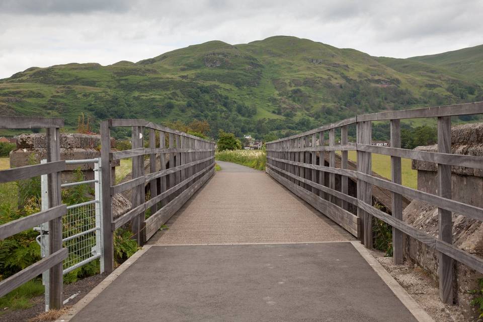
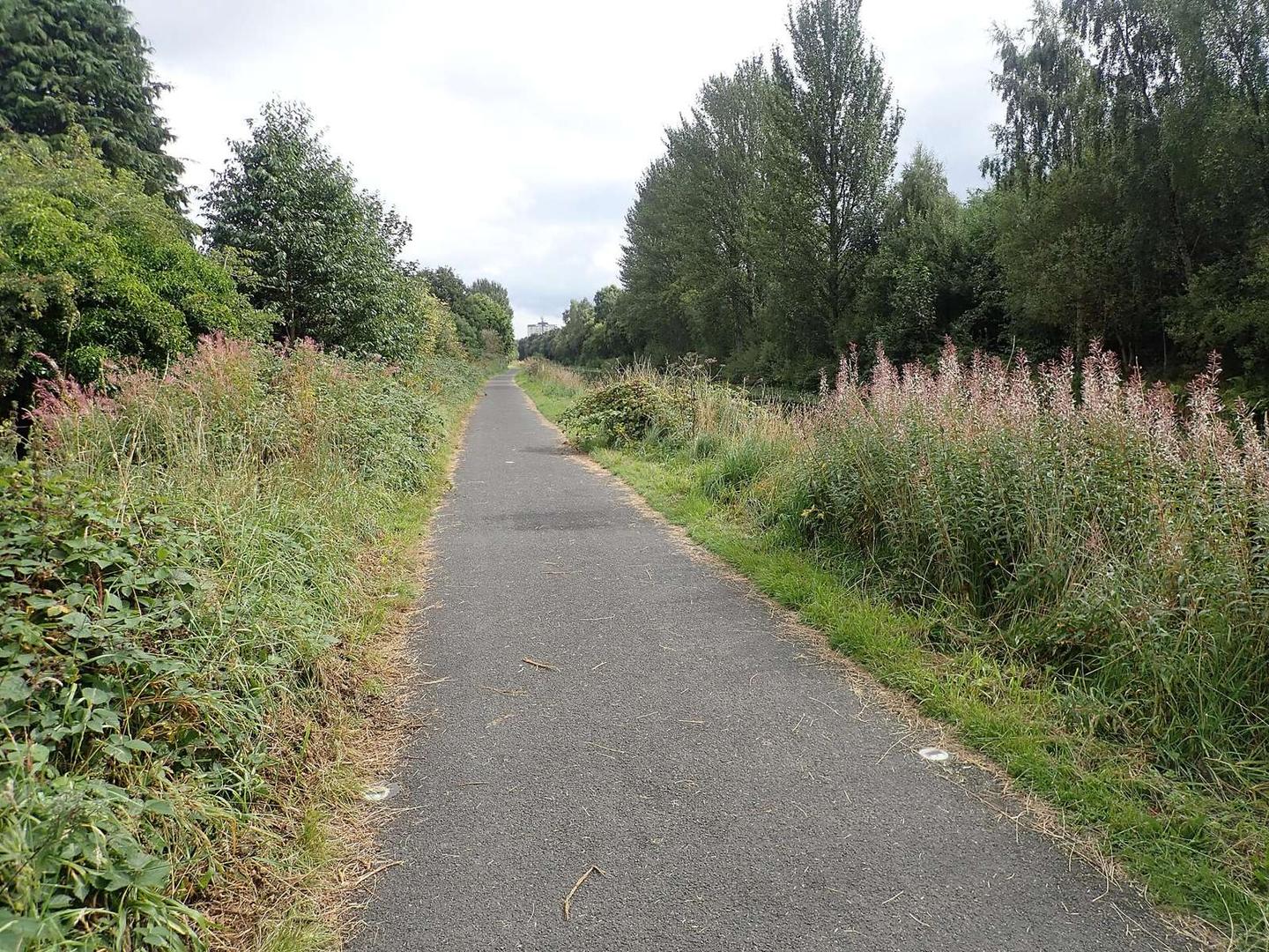
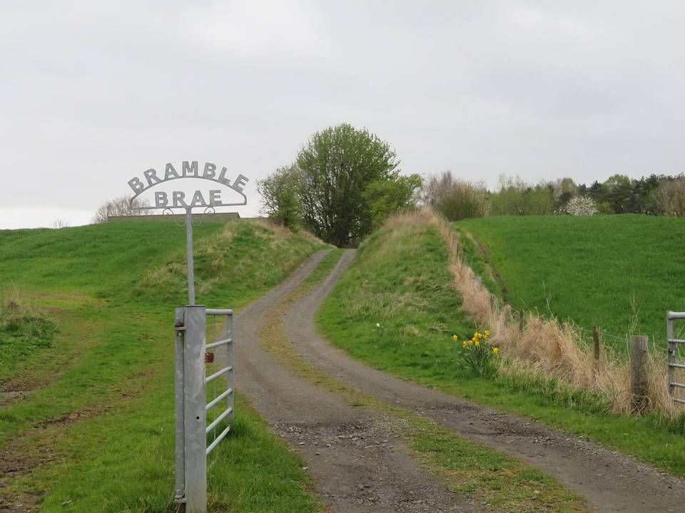
2 photographs from the road

Photo: Eirian Evans · CC BY-SA 2.0 · Wikimedia Commons · Photo: Jim Smillie · CC BY-SA 2.0 · Wikimedia Commons