
Cycling in Carron
1 cycling route from Carron, Falkirk, United Kingdom, 25 km, 25 km mapped in all, with up to 115 m of climbing in a day. Mostly flat riding (5 m of climbing per km on average), mostly mixed-surface routes, 78% paved. Best months to ride: Jun to Sep.
At a glance
- Routes
- 1
- Lengths
- 25 km
- Biggest day
- 115 m
- Terrain
- Flat
- Surface
- 78% paved
- Bike
- Gravel bike
- Difficulty
- Easy
- Best months
- Jun to Sep
- GPX
- Every route
Know before you go
Added up from the recorded routes and OpenStreetMap; nothing estimated.
- Surface
- 78% paved · 20% gravel or unpaved — 5 km of gravel or unpaved road across the routes.
- Roads
- 3% of the riding on main roads without a cycle lane · 5 km on cycle paths or lanes.
- Bail-outs
- A railway station or ferry within reach on 1 route.
Cycling guide to Carron
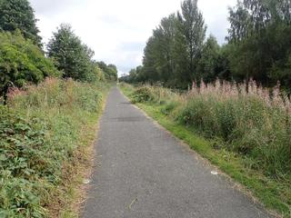
Cyclists riding from Carron can take the Helix Around Town Trail, a 25 km loop passing through many nearby places including Falkirk, Camelon, and Stenhousemuir. This route covers a variety of suburban and town areas, offering connections to 3 railway stations along the way for easy access. The route traverses a mixture of paved roads and some gravel or unpaved sections, making for diverse surface conditions. Riders can reach many neighbouring villages and suburbs such as Carronshore, Westquarter, and Redding, enabling a range of short-distance trips starting and finishing in Carron.
More on terrain
Terrain
The route’s elevation gain is 115 m with a highest point of 104 m, indicating gently rolling terrain without significant climbs. The trail has a mix of paved surfaces (78%) and gravel or unpaved paths (20%), with a cycle path section of 5.2 km. The longest stretch without services is 2.5 km and there is only 0.7 km on main roads without cycle lanes.