Cyclists.com

Gravelfoyle - Lomond View

Aberfoyle, Stirling, United KingdomGravel

Signed route The waymarked Gravelfoyle - Lomond View (local route), traced from OpenStreetMap and measured against the terrain model; no member has recorded it yet. Ridden it? Add your recording and photos.

26 km
Distance
255 m
Elevation gain
Easy
Difficulty
Gravel
Surface
Download GPXMap

Elevation profile

Total ascent
255 m
Distance
26 km
050100150200m0 km102026 km181 m · highest, at 12.5 kmStartFinish · back at the start

Route overview

This ride suits cyclists looking for a moderate 26 km gravel ride with 255 m of climbing.

26 km gravel loop ride near Aberfoyle, Stirling with 255 m climbing on tracks and paths.

This 26 km loop ride starts and finishes in Aberfoyle, Stirling. The entire route is on gravel or unpaved surfaces, primarily on tracks (98%) with a short 0.5 km on paths. The profile features three climbs: starting with a 2.1 km climb at 2.8% average gradient to 91 m height, followed by a longer 2.4 km climb at 3.8% to 180 m, the highest point at 12.4 km, and a final 2.1 km climb at 3.2% to 142 m near the end of the loop. Nearly half the route is flat, covering 48% of the distance, with climbs spread over 25%. A steepest 500 m section reaches 5.9% gradient around 2.5 km. The longest descent lasts 3.1 km descending 85 m from 21.6 km. There are no named roads, and no cafes, shops, water, toilets, bike shops or bail-out points along the route. Peaks near the road include Creag Bhreac, Barr a' Ghartain, and Stob a' Bhlair Bhain, among others.

Highlights

  • Gravel loop near Aberfoyle
  • Highest point at 180 m at 12.4 km
  • Climbs up to 6.1% gradient
  • Peaks near route: Creag Bhreac, Barr a' Ghartain

Along the route

Measured from the recorded track and OpenStreetMap.

Climbs

ClimbStarts atLengthGainAverageMaxTop
2.1 km2.1 km58 m2.8 %6.1 %91 m
10 km2.4 km89 m3.8 %5.8 %180 m
19.3 km2.1 km67 m3.2 %4.8 %142 m

High point 180 m at 12.4 km; low point 33 m. Passes beneath Uamh Mhor, Creag Bhreac, Bad Dearg.

What this ride is like

Measured from OpenStreetMap along the track and the elevation profile.

Roads
98% track · 2% path
Surface
0% paved · 100% gravel or unpaved
Gradient
25% climbing · 27% descending · 48% flat
Steep sections
1.5 km over 5%
Longest descent
3.1 km from 21.6 km, dropping 85 m

Along the way

Within a few hundred metres of the track, from OpenStreetMap. Opening hours change — treat this as where to look, not a promise.

Longest stretch without a café, shop or water: 26 km, from 0 km to 26 km.

Worth a stop

  • 3.9 kmCreag Bhreac (peak)
  • 7.3 kmBarr a' Ghartain (peak)
  • 12.2 kmStob a' Bhlair Bhain (peak)
  • 16.7 kmDruim nam Mial (peak)
  • 25.7 kmKirton Hill (peak)

Practical information

Surface
Gravel
Route shape
Loop
Riding time
2 h 10 min
Best months
Jun to Aug — daily highs of 17–18 °C in those months

Know before you go

  • No café, shop or water for 25.9 km
  • 26 km entirely on gravel or unpaved surfaces

Routes are for inspiration. Roads, surfaces and conditions change — check locally and ride within your limits.

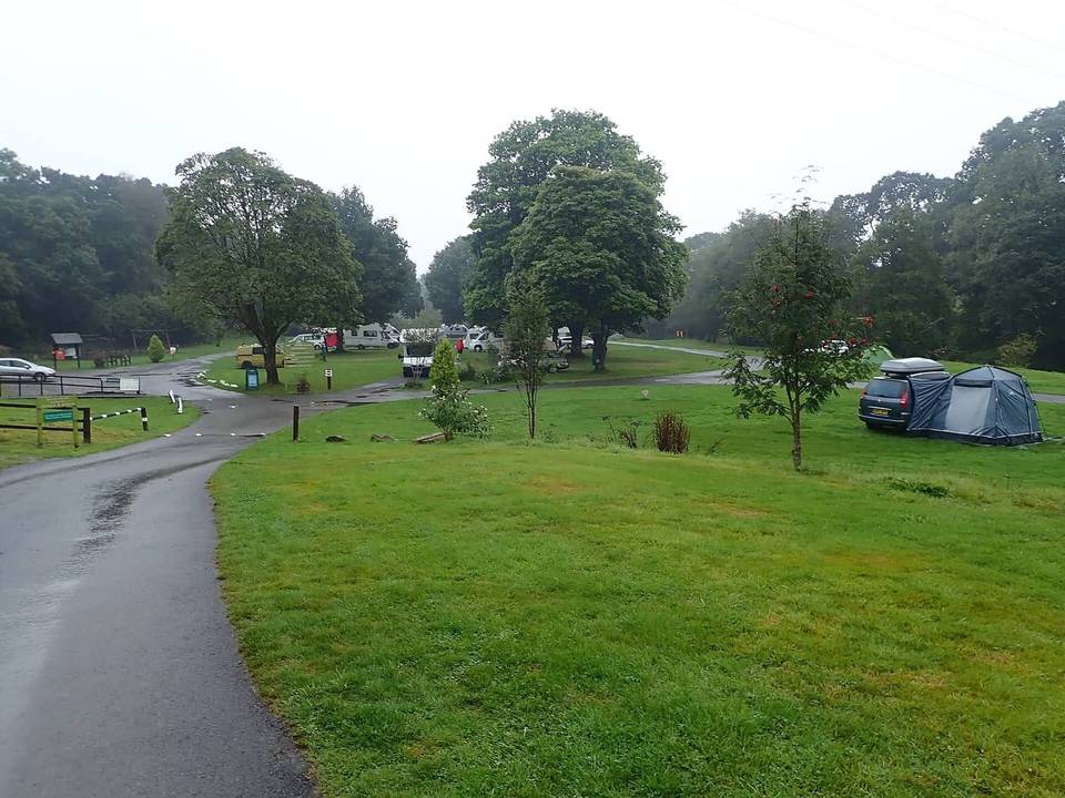
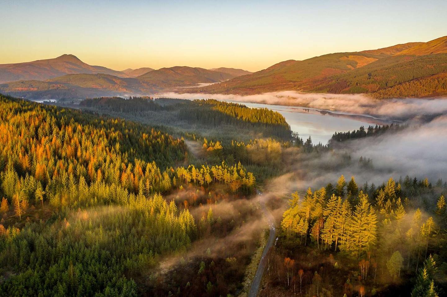
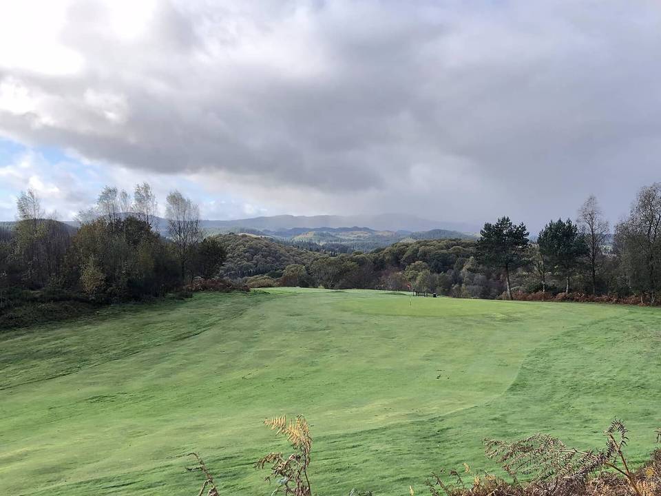
2 photographs from the road

Photo: Ian Dick from Glasgow, UK · CC BY 2.0 · Wikimedia Commons · Photo: Richard Webb · CC BY-SA 2.0 · Wikimedia Commons

More rides from Aberfoyle