Gravel · United Kingdom
A hilly 50 km gravel loop from Aberfoyle, Stirling through Kinlochard and Milton, with 556 m of climbing. The first 42 km has no café, shop or water. Mostly unpaved: 69% is mapped as gravel or unpaved, 31% as paved.
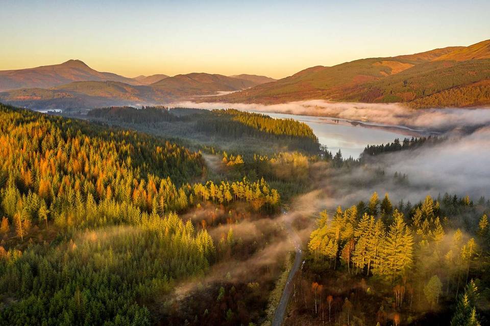
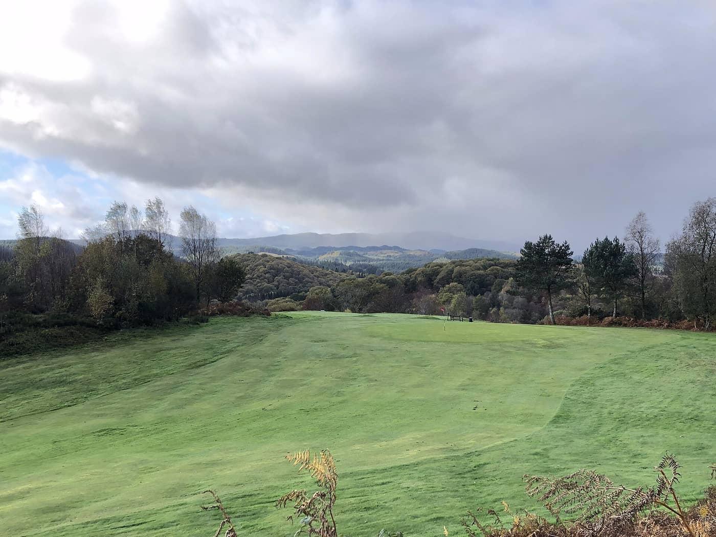
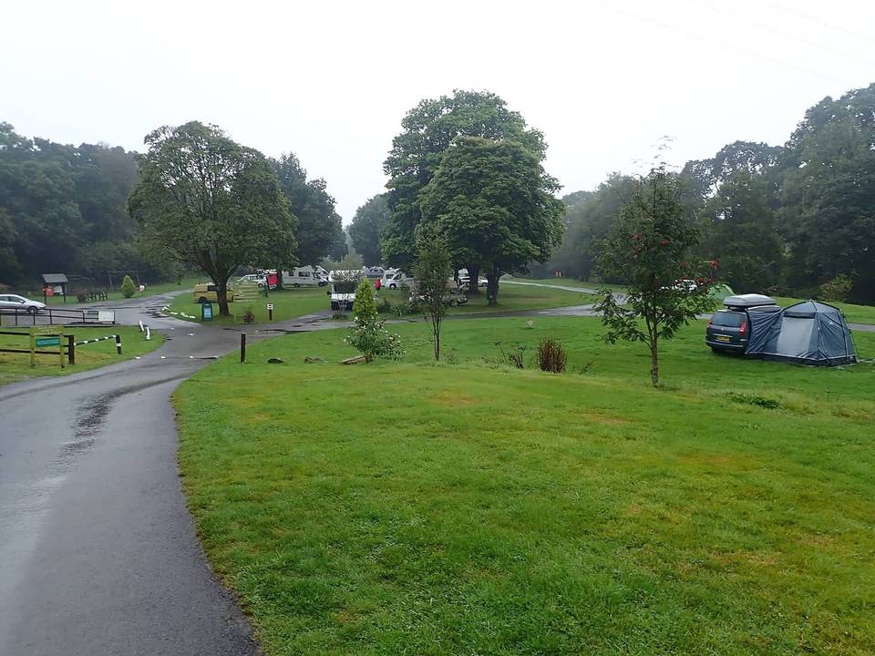
Starting from Aberfoyle at 20 m elevation, the route heads into a series of gentle climbs of 40-67 m gain over 1.5-2.7 km segments, with slopes averaging 2.3-2.8%. The highest point is reached just before 23 km at 301 m elevation, including a 2.8 km climb averaging 5.3% with a maximum gradient of 10.8%. The ride is mostly on gravel tracks covering 69% of the distance, with 31% paved. It includes 13 km on main roads, specifically the B829 road, which has no cycle lanes and speed limits of 80 km/h or above for 12.6 km. There is a longest descent of 3.5 km dropping 120 m starting near 9.6 km. The terrain features flat sections as well, making up 44% of the route. Services and stops are limited along the way, with no café, shop, or water point for 42 km after Aberfoyle. Aberfoyle at the start and finish offers cafés like The Station and Pit:stop, a bakery, a pub, a supermarket, restaurants, and bike shops. Toilets are located in Aberfoyle and near Kinlochard around 38 km. The route passes near peaks including Kirton Hill, Barr a' Ghartain, Stob a' Bhlair Bhain, and Caisteal Corrach beneath.
| Climb | Starts at | On this ride | Top on this ride |
|---|---|---|---|
| Unnamed climb | 1.6 km | 2.7 km · 67 m · 2.5 % · max 4.2 % | 102 m |
| Unnamed climb | 4.5 km | 2.1 km · 48 m · 2.3 % · max 3.2 % | 147 m |
| Unnamed climb | 7.7 km | 1.6 km · 42 m · 2.7 % · max 3.7 % | 198 m |
| Unnamed climb | 13.9 km | 1.5 km · 40 m · 2.8 % · max 4.7 % | 110 m |
| Unnamed climb | 16.7 km | 2.1 km · 59 m · 2.8 % · max 4.4 % | 150 m |
| Unnamed climb | 19.9 km | 2.8 km · 145 m · 5.3 % · max 10.8 % | 301 m |
| Unnamed climb | 33.3 km | 1.8 km · 47 m · 2.6 % · max 4.9 % | 159 m |
Expect stretches on main roads without a cycle lane (13.4 km in all) between quieter sections.
The longest stretch without a café, shop or water is 42 km, from the start. Along the route: 10 cafés and restaurants, 1 shop, 1 water point, 2 public toilets and 2 bike shops.