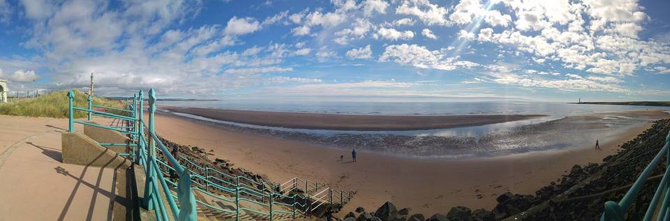
Gravel · United Kingdom
Aberdeenshire offers mostly point-to-point gravel and road routes with varied climbing, starting in several towns including Ballater and Newmachar.
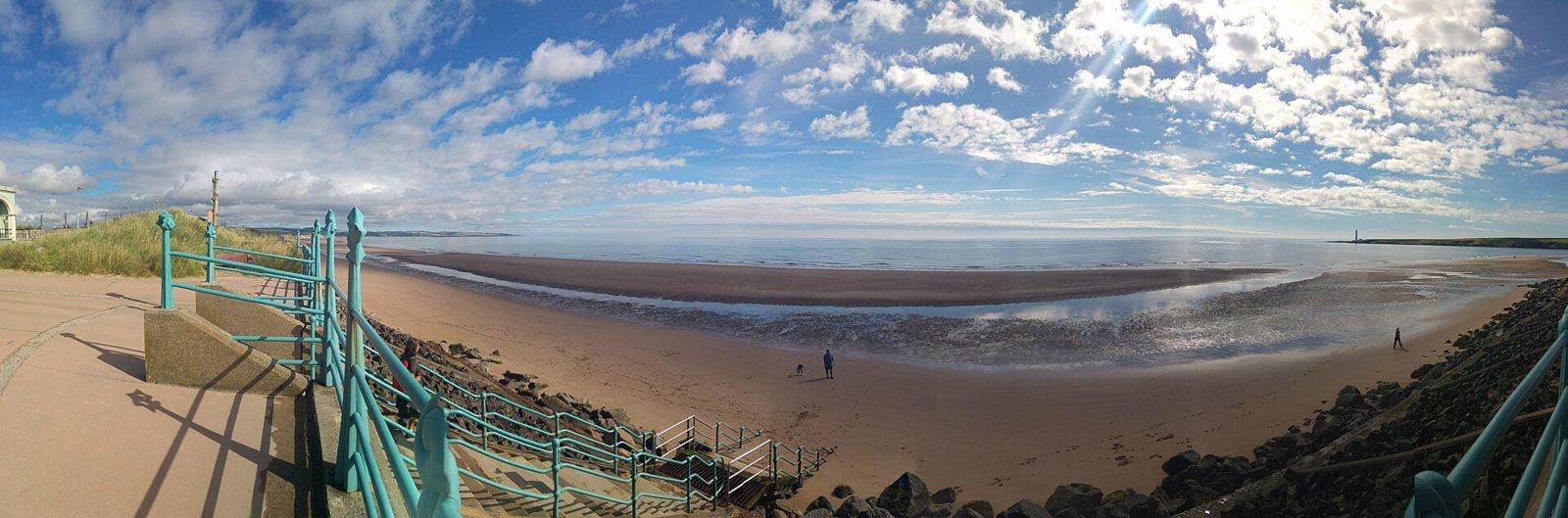
Aberdeenshire has 9 cycling routes ranging from 20 to 86 km, mainly point-to-point, with one loop. Routes start from six towns, with Ballater and Newmachar having the most at two each. The majority of the rides are gravel (6 routes) along with 3 road routes. The region features notable climbs such as the 986 m ascent from Ballater to Montrose and the 800 m climb from Braemar to Nethy Bridge, with the longest route being 86 km.
The terrain is varied with an average of 16% climbing and steepest sections reaching up to 24.3% gradient over 500 m. The available infrastructure includes 106 km of cycle path and 16% main roads, while surfaces are roughly half paved and half unpaved. Roads with 80 km/h or above speed limits total nearly 69 km, adding to the region’s diversity of riding conditions.
The riding terrain in Aberdeenshire is predominantly rolling with some steep sections; 13.1 km of the routes exceed 5% gradient, with smaller segments falling above 8% and 10% gradients. Typical route lengths are moderate to long, with a median of 58 km. The mix of surfaces is about 52% paved and 47% unpaved. Infrastructure includes substantial cycle path km and mainly minor roads with some main roads lacking cycle lanes. The biggest climbs include the ascent to Montrose at 986 m and the Braemar to Nethy Bridge climb at 800 m elevation.
Across the routes, there are 106 km of cycle path, 16% of the 440 km total are main roads, including 70.4 km of main roads without cycle lanes and 68.9 km of roads with speed limits of 80 km/h or more.
June to August are the best months to ride based on temperature and quality scores, with the daily high temperatures ranging from 16°C to 17°C.
Best months: Jun to Aug.