
Cyclists.com

Newmachar to Turriff

Newmachar, Aberdeenshire, United KingdomRoad

Signed route The waymarked EuroVelo 12 from Edinburgh (EuroVelo EV12), traced from OpenStreetMap and measured against the terrain model; no member has recorded it yet. Stage 5 of 7 of the EuroVelo 12 from Edinburgh. Ridden it? Add your recording and photos.

60 km
Distance
373 m
Elevation gain
Moderate
Difficulty
Paved
Surface
Download GPXMap

Elevation profile

Total ascent
373 m
Distance
60 km
050100150200m0 km204060 km179 m · highest, at 45.2 kmStartFinish

Route overview

Suitable for riders comfortable with moderate distance and some climbing over minor and main roads.

Stage 5 of 7 of the EuroVelo 12 from Edinburgh: 60.3 km from Newmachar to Turriff with 373 m of climbing, on the signed route.

The ride starts in Newmachar and travels north-east through several small places including Tillygreig, Corthiemuir, Millbank, and Tarves at 16.5 km. The early part features the first climb starting at 0.6 km with 47 m gain over 1.1 km averaging 4.4% gradient, reaching a height of 168 m. The second climb begins at 40.5 km with a gentle 47 m gain over 2.1 km. The route follows mostly minor roads (72%) with 12% on main roads and around 12% on cycle paths. Main roads ridden cover 7.4 km without cycle lanes, and 15.5 km are on roads with speed limits of 80 km/h or more. Facilities to refuel or rest are concentrated around places such as Eat on the Green restaurant near Udny Green (8.1 km), The Murly Tuck Café in Tarves at 16.5 km, Platform 5 café at 37.1 km, Commercial Hotel pub in Cuminestown at 50.9 km, and a bakery near the finish in Turriff. Shops and toilets are available in Tarves, Auchnagatt, Cuminestown, and Turriff. The longest stretch without a café, shop or water is 20.6 km between 16.5 km and 37.1 km. The surface is predominantly paved (88%), with 12% gravel or unpaved sections. The elevation ranges from 21 m at 22.2 km to 179 m at 45 km, with 18% of the route climbing and 19% descending.

Highlights

  • Climb near start gaining 47 m at 4.4%
  • Longest descent of 3.3 km dropping 60 m
  • Eat on the Green restaurant at 8.1 km
  • Tarves at 16.5 km with café and shop

Along the route

Measured from the recorded track and OpenStreetMap.

Places passed

  1. Tillygreig 3.1 km
  2. Corthiemuir 4.8 km
  3. Millbank 5.5 km
  4. Tillymaud 6.5 km
  5. Denend 6.9 km
  6. Bridgend 7.5 km
  7. Udny Green 8.2 km
  8. Gilmorton 8.9 km
  9. Cairnfechel 10.3 km
  10. Tarves 16.5 km
  11. Tanglandford 22.2 km
  12. South Quilquox 24.1 km
  13. Quilquox 25.4 km
  14. Auchnagatt 30.2 km
  15. Maud 37.3 km
  16. Cuminestown 50.4 km

Climbs

ClimbStarts atLengthGainAverageMaxTop
0.6 km1.1 km47 m4.4 %6.4 %168 m
40.5 km2.1 km47 m2.2 %3.4 %142 m

High point 179 m at 45 km; low point 21 m.

What this ride is like

Measured from OpenStreetMap along the track and the elevation profile.

Roads
72% minor road · 12% main road · 12% cycle path · 3% quiet street
Main roads
7.4 km on main roads without a cycle lane — likely busier
Fast roads
15.5 km on roads with a limit of 80 km/h or more
Cycle paths
7 km on cycle paths or roads with a cycle lane
Main roads used
Formatine and Buchan Way (7 km), B9170 (6 km)
Surface
Paved throughout
Gradient
18% climbing · 19% descending · 62% flat
Steep sections
0.6 km over 5% · steepest 500 m averages 8.8% at 0 km
Longest descent
3.3 km from 48.2 km, dropping 60 m

Along the way

Within a few hundred metres of the track, from OpenStreetMap. Opening hours change — treat this as where to look, not a promise.

Longest stretch without a café, shop or water: 21 km, from 17 km to 37 km.

Food, water and shops

  1. 0 kmNewmachar Pharmacy · pharmacy · 600 m off route
  2. 8.1 kmEat on the Green · restaurant · 70 m off route
  3. 16.3 kmToilets · 70 m off route
  4. 16.3 kmTarves Pharmacy · pharmacy · 30 m off route
  5. 16.4 kmAdam Duthie & Co · convenience store · on the route
  6. 16.5 kmThe Murly Tuck Cafe · café · on the route
  7. 30.2 kmRepair stand · on the route
  8. 37.1 kmPlatform 5 · café · 30 m off route
  9. 37.1 kmToilets · 60 m off route
  10. 37.2 kmNisa Local · convenience store · on the route
  11. 50.6 kmToilets · 80 m off route
  12. 50.8 kmCostcutter · convenience store · on the route
  13. 50.9 kmCommercial Hotel · pub · on the route
  14. 59.7 kmCo-op · supermarket · 50 m off route
  15. 59.8 kmJ.G. Ross · bakery · 60 m off route
  16. 59.8 kmToilets · 140 m off route
  17. 59.8 kmBoots Pharmacy · pharmacy · on the route

Worth a stop

  • 20.2 kmTerminal Monument (monument)

At the finish

  • J.G. Ross · bakery · 70 m
  • A. McKenzie · bakery · 90 m
  • Boots Pharmacy · pharmacy · 80 m
  • Co-op · supermarket · 150 m
  • Strachan Pharmacy · pharmacy · 40 m

Stay after this ride

  • The Crown Inn · hotel · 300 m from the finish
  • Royal Oak Hotel · hotel · 460 m from the finish

Practical information

Surface
Paved
Route shape
Point to point
Riding time
4 h 18 min
Best months
Jun to Aug — daily highs of 16–17 °C in those months

Know before you go

  • Longest stretch without café or shop for 20.6 km from 16.5 km to 37.1 km
  • 7.4 km on main roads without cycle lane
  • 15.5 km on roads with 80 km/h or higher speed limits
  • 12% gravel or unpaved surface

Routes are for inspiration. Roads, surfaces and conditions change — check locally and ride within your limits.

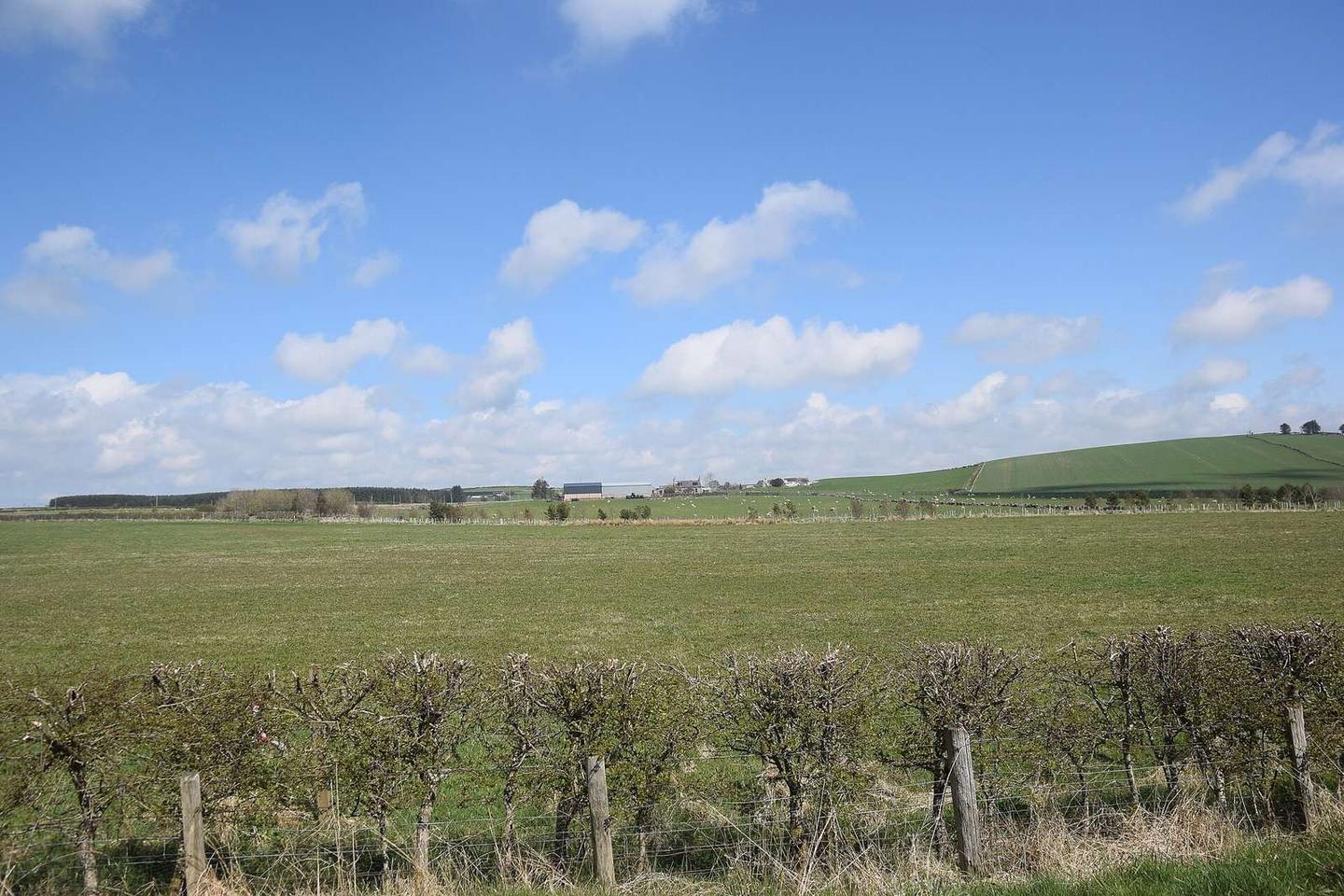
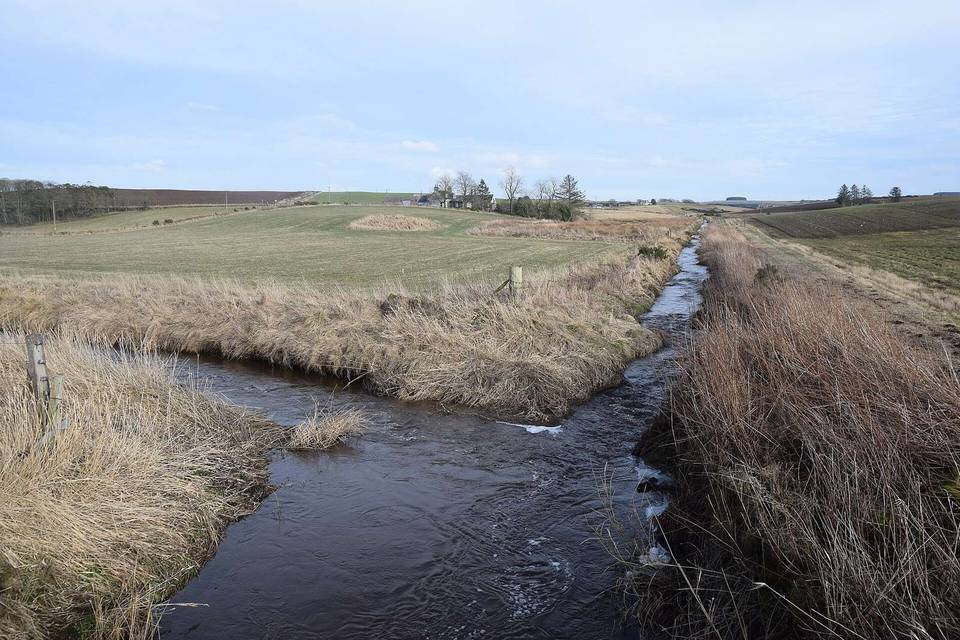
2 photographs from the road

Photo: Bill Harrison · CC BY-SA 2.0 · Wikimedia Commons · Photo: August Schwerdfeger · CC BY 4.0 · Wikimedia Commons

Stage of

More rides from Newmachar