
Cyclists.com

National Cycle Route 1

Newmachar, Aberdeenshire, United KingdomGravel

Signed route The waymarked National Cycle Route 1 (National Cycle Network), traced from OpenStreetMap and measured against the terrain model; no member has recorded it yet. Ridden it? Add your recording and photos.

25 km
Distance
92 m
Elevation gain
Easy
Difficulty
Gravel
Surface
Download GPXMap

Elevation profile

Total ascent
92 m
Distance
25 km
050100150m0 km510152024 km136 m · highest, at 0.9 kmStartFinish

Route overview

Suitable for riders wanting a short, mostly flat 24.5 km ride on mostly gravel cycle paths with minimal climbing.

National Cycle Route 1 in Aberdeenshire from Newmachar to Auchnagatt, 24.5 km with 92 m climbing mainly on cycle paths.

This 24.5 km point-to-point route starts at Newmachar at 136 m and descends to a low of 13 m near Ellon at 12.1 km. It passes through North Balnakettle, Udny Station, Mains of Orchardtown, Logiemuir, Ellon, Little Arnage and finishes at Auchnagatt. The route is almost entirely on cycle paths (23.6 km), mostly gravel (89%), with just 10% paved surfaces. It follows the Formartine and Buchan Way for over 11 km in three stretches. The profile is 75% flat with some gentle climbing (only 9% climbing gradient) and a longest descent of 4.4 km dropping 57 m starting near 1 km. There are no cafés, shops, water points or toilets along the route, and no bail out points. A picnic site called Logierieve Wood lies just 24 m off the route near 7.8 km. A bike repair stand is located near Auchnagatt at the finish, 51 m off route.

Highlights

  • Formartine and Buchan Way cycle path
  • Longest descent of 4.4 km dropping 57 m
  • Picnic site at Logierieve Wood (7.8 km)
  • Route starts at 136 m elevation in Newmachar

Along the route

Measured from the recorded track and OpenStreetMap.

Places passed

  1. North Balnakettle 2.2 km
  2. Udny Station 4.9 km
  3. Mains of Orchardtown 6.7 km
  4. Logiemuir 7.6 km
  5. Ellon 12.6 km
  6. Little Arnage 16 km

What this ride is like

Measured from OpenStreetMap along the track and the elevation profile.

Roads
96% cycle path · 2% path
Cycle paths
23.6 km on cycle paths or roads with a cycle lane
Main roads used
Formatine and Buchan Way (12 km), Formartine & Buchan Way (8 km), Formartine and Buchan Way (3 km)
Surface
10% paved · 89% gravel or unpaved
Gradient
9% climbing · 16% descending · 75% flat
Longest descent
4.4 km from 1 km, dropping 57 m

Along the way

Within a few hundred metres of the track, from OpenStreetMap. Opening hours change — treat this as where to look, not a promise.

Longest stretch without a café, shop or water: 25 km, from 0 km to 25 km.

Food, water and shops

  1. 24.5 kmRepair stand · 50 m off route

Worth a stop

  • 7.8 kmLogierieve Wood (picnic site)

Practical information

Surface
Gravel
Route shape
Point to point
Riding time
2 h 02 min
Best months
Jun to Aug — daily highs of 16–17 °C in those months

Know before you go

  • No café, shop or water for 24.5 km
  • 89% gravel or unpaved surface
  • 96% on cycle paths but no paved road beyond 10%
  • Longest descent from 1 km is 4.4 km

Routes are for inspiration. Roads, surfaces and conditions change — check locally and ride within your limits.

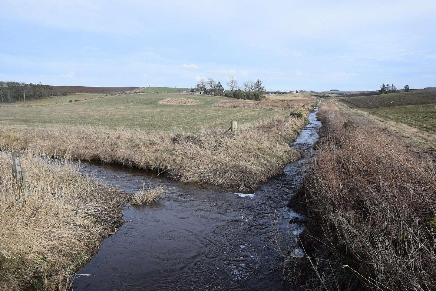
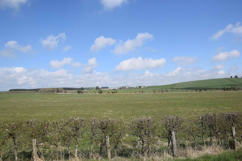
2 photographs from the road

Photo: Bill Harrison · CC BY-SA 2.0 · Wikimedia Commons · Photo: Ralph Greig · CC BY-SA 2.0 · Wikimedia Commons

More rides from Newmachar