
Cycling in Newmachar
2 cycling routes from Newmachar, Aberdeenshire, United Kingdom, 25 to 60 km, 85 km mapped in all, with up to 373 m of climbing in a day. Rolling riding (5 m of climbing per km on average), mostly gravel and road routes, 65% paved, 31 km on cycle paths or lanes. Best months to ride: Jun to Aug.
At a glance
- Routes
- 2
- Lengths
- 25–60 km
- Biggest day
- 373 m
- Terrain
- Rolling
- Surface
- 65% paved
- Bike
- Gravel bike
- Difficulty
- Easy to Moderate
- Best months
- Jun to Aug
- Longest gap
- 25 km
- GPX
- Every route
Know before you go
Added up from the recorded routes and OpenStreetMap; nothing estimated.
- Surface
- 65% paved · 34% gravel or unpaved — 29 km of gravel or unpaved road across the routes.
- Roads
- 9% of the riding on main roads without a cycle lane · 31 km on cycle paths or lanes.
Cycling guide to Newmachar
Newmachar in Aberdeenshire provides two main cycling routes. National Cycle Route 1 runs 24.5 km from Newmachar to Auchnagatt, passing through places like Ellon and Little Arnage with an elevation gain of 92 m. Nearly 90% of this route is on gravel or unpaved surfaces, with most of it on cycle paths, and only 0.1 km on main roads without cycle lanes.
The longer Newmachar to Turriff route covers 60.3 km, passing through numerous villages including Tillygreig, Tarves, and Maud before reaching Turriff. It features an elevation gain of 373 m and includes a climb starting at 0.6 km that rises 47 m over 1.1 km at an average of 4.4%, peaking at 179 m height. This route has 88% paved surfaces and 7.4 km on main roads without cycle lanes, with the longest stretch without services extending 20.6 km.
More on terrain
Terrain
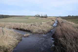
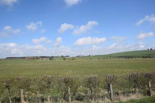
The terrain around Newmachar includes rolling profiles with gentle climbs, the biggest being a 1.1 km stretch averaging 4.4% gradient. Highest points on these routes reach up to 179 m, and surfaces range from mostly gravel/unpaved on the shorter route to mostly paved on the longer one.