
Cycling in Maud
2 cycling routes from Maud, Aberdeenshire, United Kingdom, 20 to 25 km, 45 km mapped in all, with up to 79 m of climbing in a day. Mostly flat riding (2 m of climbing per km on average), mostly gravel routes, 5% paved, 44 km on cycle paths or lanes. Best months to ride: Jul to Aug.
At a glance
- Routes
- 2
- Lengths
- 20–25 km
- Biggest day
- 79 m
- Terrain
- Flat
- Surface
- 5% paved
- Bike
- Gravel or mountain bike
- Difficulty
- Easy
- Best months
- Jul to Aug
- Longest gap
- 16 km
- GPX
- Every route
Know before you go
Added up from the recorded routes and OpenStreetMap; nothing estimated.
- Surface
- 5% paved · 94% gravel or unpaved — 42 km of gravel or unpaved road across the routes.
- Roads
- 44 km on cycle paths or lanes.
Cycling guide to Maud
Maud in Aberdeenshire is a starting point for two main routes: National Cycle Route 194 and 197. Both routes are point-to-point and pass through multiple towns and small settlements. Route 194 covers 25.3 km from Maud to Fraserburgh via Strichen and Spillarsford, predominantly on cycle paths and mostly unpaved surfaces. Route 197 runs 19.7 km and leads from Maud through Old Deer, Mintlaw, Longside, and several smaller places, ending near Blackhouse. These routes provide access to local Aberdeenshire areas with few main roads lacking cycle lanes, making for a consistent cycling environment.
More on terrain
Terrain
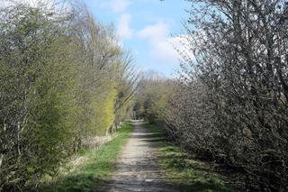
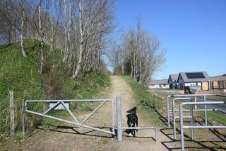
The terrain around Maud is gently rolling with modest elevation gains—79 m on route 194 and 32 m on route 197. Highest points reach 106 m and 65 m respectively. Gradients are mild without notable climbs, and the surfaces mainly consist of gravel or unpaved paths with minimal paved sections.