
Cyclists.com

National Cycle Route 197

Maud, Aberdeenshire, United KingdomGravel

Signed route The waymarked National Cycle Route 197 (National Cycle Network), traced from OpenStreetMap and measured against the terrain model; no member has recorded it yet. Ridden it? Add your recording and photos.

20 km
Distance
32 m
Elevation gain
Easy
Difficulty
Gravel
Surface
Download GPXMap

Elevation profile

Total ascent
32 m
Distance
20 km
020406080m0 km5101520 km66 m · highest, at 0.0 kmStartFinish

Route overview

This mostly flat 20 km route suits riders comfortable on long gravel cycle paths.

National Cycle Route 197 runs 20 km from Maud through Aberdeenshire on mostly gravel cycle paths.

The route starts in Maud at 65 m elevation and heads through Old Deer at 5 km, Mintlaw at 7.6 km, and Longside at 11.5 km. It descends gently to its low point of 21 m at 13 km before reaching Waterside, Upper Grange, and finishing near Coplandhill at 19.7 km. The route is mostly flat with only small sections of climbing and descending, the steepest gradient is about 3.8% over 500 m at the start. The surface is predominantly gravel or unpaved, making up 93% of the route, with 7% paved. Almost the entire ride is on cycle paths, mostly on the Formatine and Buchan Way for 19.3 km. Riders can find cafés, shops and toilets at the start in Maud and at intervals in Mintlaw and the finish, but should note there is an 11.7 km stretch from 7.6 km without café, shop or water. Facilities include the Platform 5 Café near the start, Murdoch Allen bakery in Mintlaw, and shops like Nisa Local in Maud and Co-Op in Mintlaw. There are petrol stations in Mintlaw and close to the finish. Toilets are available at the start. This is a point-to-point route ending near several rural settlements.

Highlights

  • Route follows Formatine and Buchan Way for 19.3 km
  • Passes through Old Deer, Mintlaw, Longside
  • Longest flat section at 96% of route
  • Close to North Lodge ruins at 6.1 km

Along the route

Measured from the recorded track and OpenStreetMap.

Places passed

  1. Old Deer 5 km
  2. Mintlaw 7.6 km
  3. Longside 11.5 km

What this ride is like

Measured from OpenStreetMap along the track and the elevation profile.

Roads
99% cycle path
Cycle paths
19.5 km on cycle paths or roads with a cycle lane
Main roads used
Formatine and Buchan Way (19 km)
Surface
7% paved · 93% gravel or unpaved
Gradient
3% climbing · 1% descending · 96% flat

Along the way

Within a few hundred metres of the track, from OpenStreetMap. Opening hours change — treat this as where to look, not a promise.

Food, water and shops

  1. 0 kmPlatform 5 Cafe & Takeaway · café · 90 m off route
  2. 0 kmNisa Local · convenience store · 220 m off route
  3. 0 kmToilets · 90 m off route
  4. 6.6 kmCo-Op Mintlaw · convenience store · 150 m off route
  5. 7.6 kmMurdoch Allen · bakery · 160 m off route
  6. 7.6 kmEsso · petrol station · 220 m off route
  7. 7.6 kmRowlands Pharmacy · pharmacy · 180 m off route
  8. 19.3 kmAsda · supermarket · 70 m off route
  9. 19.7 kmGrange Inn · pub · 270 m off route

Worth a stop

  • 6.1 kmNorth Lodge (ruins)

At the start

  • Platform 5 Cafe & Takeaway · café · 90 m
  • Platform 5 · café · 90 m
  • Station Hotel Maud · pub · 120 m
  • Nisa Local · convenience store · 220 m

At the finish

  • Asda · supermarket · 460 m
  • Grange Inn · pub · 270 m

Stay after this ride

  • Clerkhill Inn · hotel · 1.0 km from the finish
  • Waterside Inn · hotel · 1.6 km from the finish
  • Alexanders Guest House · guest house · 2.4 km from the finish
  • The Harbour Spring · hotel · 2.5 km from the finish

Practical information

Surface
Gravel
Route shape
Point to point
Riding time
1 h 38 min
Best months
Jul to Aug — daily highs of 17 °C in those months

Know before you go

  • 11.7 km stretch with no café, shop or water from 7.6 km to 19.3 km
  • 93% gravel or unpaved surface
  • 19.3 km on cycle path, no cycle lane indicated
  • Steepest 500 m at 3.8% gradient at start

Routes are for inspiration. Roads, surfaces and conditions change — check locally and ride within your limits.

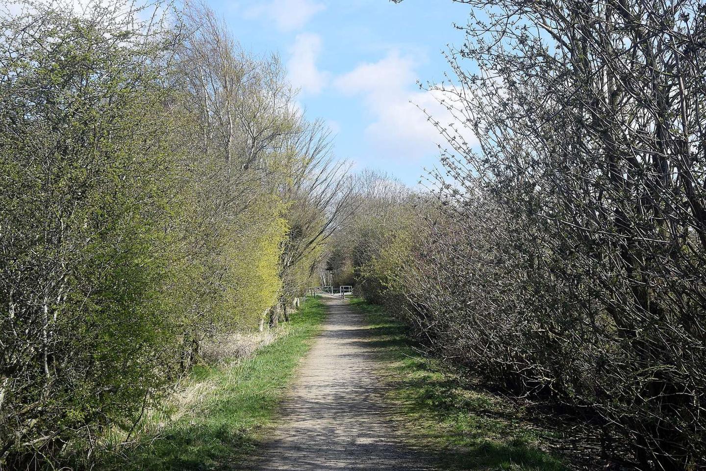
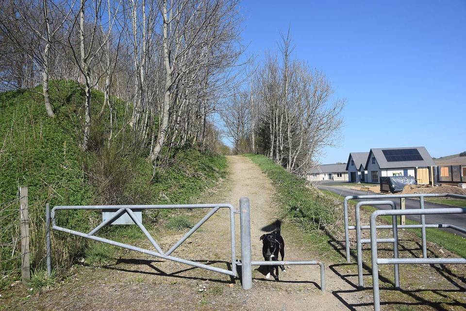
2 photographs from the road

Photo: Bill Harrison · CC BY-SA 2.0 · Wikimedia Commons · Photo: Iain Smith · CC BY-SA 2.0 · Wikimedia Commons

More rides from Maud