
Cyclists.com

National Cycle Route 194

Maud, Aberdeenshire, United KingdomGravel

Signed route The waymarked National Cycle Route 194 (National Cycle Network), traced from OpenStreetMap and measured against the terrain model; no member has recorded it yet. Ridden it? Add your recording and photos.

25 km
Distance
79 m
Elevation gain
Easy
Difficulty
Gravel
Surface
Download GPXMap

Elevation profile

Total ascent
79 m
Distance
25 km
0255075100125m0 km102025 km106 m · highest, at 6.0 kmStartFinish

Route overview

This ride suits cyclists looking for a 25 km route with low climbing on mixed gravel surfaces and mostly cycle paths.

National Cycle Route 194 runs 25 km from Maud to Fraserburgh in Aberdeenshire on mostly cycle paths and gravel surfaces.

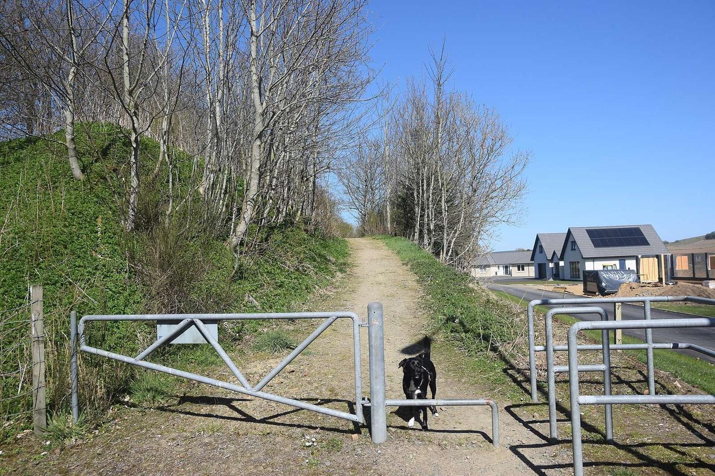
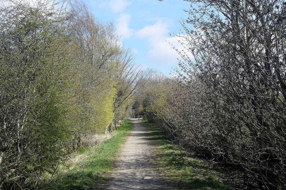
Starting at Maud (0 km), the route heads northeast passing through Strichen at 8.9 km and Spillarsford at 17.5 km before reaching Fraserburgh at 25.3 km. The path lies mostly on the Formatine and Buchan Way. The route is largely flat or gently descending, with a total elevation gain of 79 m and a highest point of 106 m at 6 km. Climbing is minor, with only 0.1 km above 5% gradient. Almost the entire route (97%) is on cycle paths, but most surfaces (95%) are on gravel or unpaved tracks. The route includes 24.7 km of cycle path, offering ease of navigation away from main roads. There is a longest descent of 3.8 km starting at 13.6 km with a 54 m drop. Facilities include cafés at the start (Platform 5 Café) and end (Tiger Hill Café), with a cafe and convenience store at Strichen. However, there is a long 15.8 km stretch between 8.9 km and 24.7 km without cafés, shops, or water. Toilets are at Maud, and water is available near Fraserburgh.

Highlights

  • Formatine and Buchan Way cycle path
  • Strichen Stone Circle near 7.8 km
  • Knockmomean peak near 20.7 km
  • Long 3.8 km descent from 13.6 km

Along the route

Measured from the recorded track and OpenStreetMap.

Places passed

  1. Strichen 8.9 km
  2. Spillarsford 17.5 km

What this ride is like

Measured from OpenStreetMap along the track and the elevation profile.

Roads
97% cycle path
Cycle paths
24.7 km on cycle paths or roads with a cycle lane
Main roads used
Formatine and Buchan Way (24 km)
Surface
4% paved · 95% gravel or unpaved
Gradient
7% climbing · 18% descending · 75% flat
Longest descent
3.8 km from 13.6 km, dropping 54 m

Along the way

Within a few hundred metres of the track, from OpenStreetMap. Opening hours change — treat this as where to look, not a promise.

Longest stretch without a café, shop or water: 16 km, from 9 km to 25 km.

Food, water and shops

  1. 0 kmPlatform 5 Cafe & Takeaway · café · 60 m off route
  2. 0 kmNisa Local · convenience store · 190 m off route
  3. 0 kmToilets · 50 m off route
  4. 8.8 kmThe Lodge at Strichen · café · 60 m off route
  5. 8.9 kmCo-Op · convenience store · 100 m off route
  6. 9 kmWebsters Pharmacy · pharmacy · 230 m off route
  7. 24.8 kmLidl · supermarket · 250 m off route
  8. 24.9 kmPetrol station · 260 m off route
  9. 25.1 kmTiger Hill Cafe · café · on the route
  10. 25.1 kmTop Up Tap · drinking water · on the route
  11. 25.3 kmBoots · pharmacy · 740 m off route

Worth a stop

  • 7.8 kmStrichen Stone Circle (archaeological site)
  • 17.1 kmKnowsie (ruins)
  • 20.7 kmKnockmomean (peak)
  • 25.3 kmSaltoun Place Fountain (monument)

At the start

  • Platform 5 Cafe & Takeaway · café · 60 m
  • Platform 5 · café · 60 m
  • Station Hotel Maud · pub · 100 m
  • Nisa Local · convenience store · 190 m

At the finish

  • Tiger Hill Cafe · café · 250 m
  • Lidl · supermarket · 690 m
  • Tesco · supermarket · 790 m
  • Boots · pharmacy · 740 m

Stay after this ride

  • The Saltoun Inn · hotel · 830 m from the finish
  • Findlay's · hotel · 1.8 km from the finish

Practical information

Surface
Gravel
Route shape
Point to point
Riding time
2 h 07 min
Best months
Jul to Aug — daily highs of 17 °C in those months

Know before you go

  • 15.8 km with no café, shop or water from 8.9 km to 24.7 km
  • 95% gravel or unpaved surface
  • Only 0.1 km above 5% gradient but includes a 3.8 km descent

Routes are for inspiration. Roads, surfaces and conditions change — check locally and ride within your limits.

2 photographs from the road

Photo: Bill Harrison · CC BY-SA 2.0 · Wikimedia Commons · Photo: ED McIntosh · CC BY-SA 3.0 · Wikimedia Commons · Photo: Ralph Greig · CC BY-SA 2.0 · Wikimedia Commons

More rides from Maud