
Cycling in Aberdeen
1 cycling route from Aberdeen, United Kingdom, 50 km, 50 km mapped in all, with up to 392 m of climbing in a day. Rolling riding (8 m of climbing per km on average), mostly mixed-surface routes, 52% paved, 31 km on cycle paths or lanes. Best months to ride: Jul to Aug.
At a glance
- Routes
- 1
- Lengths
- 50 km
- Biggest day
- 392 m
- Terrain
- Rolling
- Surface
- 52% paved
- Bike
- Gravel bike
- Difficulty
- Moderate
- Best months
- Jul to Aug
- GPX
- Every route
Know before you go
Added up from the recorded routes and OpenStreetMap; nothing estimated.
- Surface
- 52% paved · 47% gravel or unpaved — 23 km of gravel or unpaved road across the routes.
- Roads
- 3% of the riding on main roads without a cycle lane · 31 km on cycle paths or lanes.
- Bail-outs
- A railway station or ferry within reach on 1 route.
Cycling guide to Aberdeen
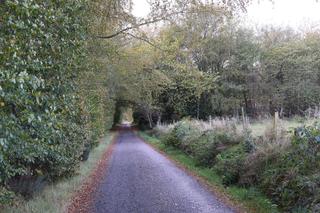
Aberdeen, located in Aberdeen City, United Kingdom, serves as the start of the Deeside Way, a 49.9 km route passing through villages such as Ferryhill, Cults, Banchory, and Kincardine O'Neil. The route traverses a mixture of paved and gravel surfaces, providing varied riding conditions. Along the way are six railway stations, facilitating access at multiple points. The Deeside Way features a single climb starting at 44.1 km that is 2.3 km long, ascending 80 m at an average gradient of 3.5%, reaching a top elevation of 179 m. The route includes 30.8 km of cycle paths and only 1.3 km on main roads without cycle lanes. There is a longest stretch of 12.3 km without cafes, shops, or water services.
More on terrain
Terrain
The route is rolling in nature with the highest point around 200 m. The biggest climb is a steady 2.3 km ascent averaging 3.5% gradient, with a maximum of 5.4%. Much of the route is on cycle paths, with about half the surface paved and the rest gravel or unpaved.