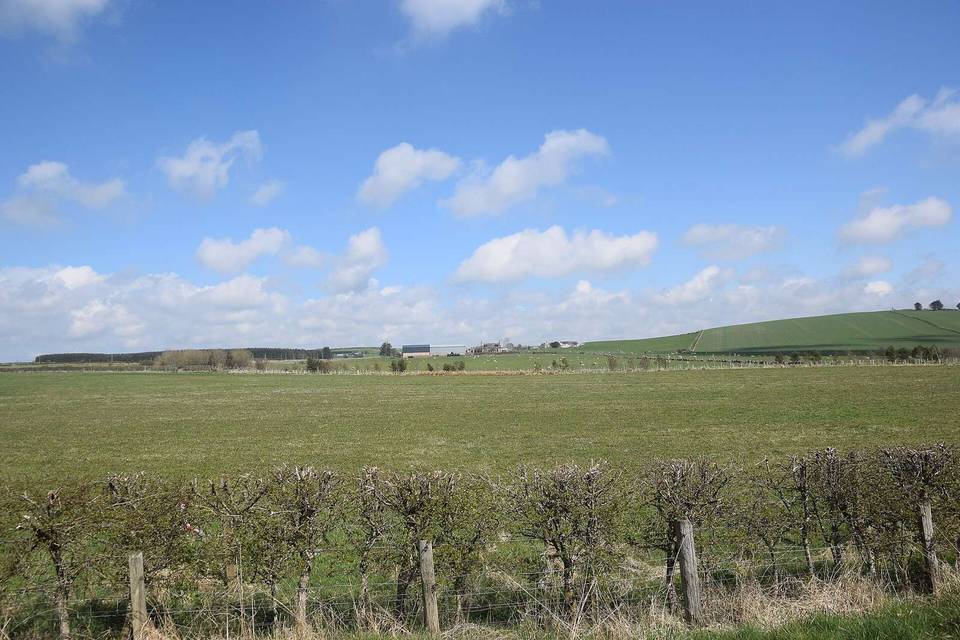
Deeside Way
- 50 km
- 392 m
- Moderate
- Mixed
Elevation profile
- 392 m
- 50 km
Route overview
This ride suits cyclists looking for a moderate 50 km ride with some climbing and mixed surfaces.
Deeside Way is a 50 km point-to-point cycle route in Aberdeen City, United Kingdom.
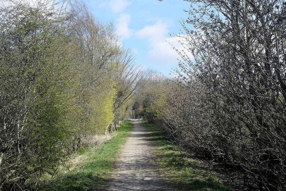
Starting from Aberdeen and passing through Ferryhill and Broomhill, the route heads west through several suburbs including Cults, Bieldside, and Peterculter before reaching Drumoak and Crathes. The overall elevation gain is 392 m, with the highest point at 200 m around 37.5 km into the ride. The route climbs mainly after 28.8 km with several moderate gradients up to 7.6% pitch before descending towards the finish at Aberdeen. The surface is about half paved and half gravel or unpaved. Over 30 km are on cycle paths, with other sections on tracks, minor roads, quiet streets, and a short stretch of main road without a cycle lane. Riders encounter 13 km on main roads, including 3.2 km posted at 80 km/h or more. The route is named Deeside Way for nearly 29.4 km. Facilities are well-distributed near the start and through towns: cafés, shops, petrol stations and bike shops are available before 28.9 km, but there is a longest stretch of 12.3 km with no café, shop or water after this point. Toilets and bailout stations can be found at 0 km and near 25.5 km. The finish is close to The White Cottage restaurant in Aberdeen.
Highlights
- Climbs with max gradient 7.6% between km 28.8 and 33
- Cycle path covers 63% of route
- Peaks near the road: Kaim Hill at 3.4 km, Kirkenie Hill at 41.3 km
- Longest descent 2 km dropping 107 m from km 38
Along the route
Places passed
Climbs
| Climb | Starts at | Length | Gain | Average | Max | Top |
|---|---|---|---|---|---|---|
| — | 28.8 km | 1.9 km | 75 m | 4 % | 7.6 % | 131 m |
| — | 31.3 km | 1.3 km | 58 m | 4.4 % | 7.6 % | 176 m |
| — | 36.2 km | 1.3 km | 47 m | 3.7 % | 5.8 % | 200 m |
| — | 44.1 km | 2.3 km | 80 m | 3.5 % | 5.4 % | 179 m |
What this ride is like
- Roads
- 63% cycle path · 15% track · 8% minor road · 8% quiet street
- Main roads
- 1.3 km on main roads without a cycle lane — likely busier
- Fast roads
- 3.2 km on roads with a limit of 80 km/h or more
- Cycle paths
- 30.8 km on cycle paths or roads with a cycle lane
- Main roads used
- Deeside Way (29 km)
- Surface
- 52% paved · 47% gravel or unpaved
- Gradient
- 17% climbing · 11% descending · 72% flat
- Steep sections
- 2 km over 5% · 0.3 km over 8% · steepest 500 m averages 7.7% at 32.3 km
- Longest descent
- 2 km from 38 km, dropping 107 m
Along the way
Food, water and shops
- 0 kmBP North Esplanade · petrol station · 180 m off route
- 0.6 kmThe Park Cafe · café · 110 m off route
- 0.7 kmToilets · 110 m off route
- 1.5 kmAbergeldie Convenience Store · convenience store · 50 m off route
- 5 kmBoxcar Coffee & Yard · café · on the route
- 5 kmSkyline Cycles and Sports Ltd · bike shop · 30 m off route
- 10.6 kmM&S Simply Food · convenience store · 120 m off route
- 10.6 kmBP · petrol station · 120 m off route
- 11.4 kmPeterculter Pharmacy · pharmacy · 170 m off route
- 18.2 kmPark Shop · convenience store · 70 m off route
- 23.7 kmMilton Brasserie · restaurant · 80 m off route
- 27.9 kmRide Coffee House · café · 110 m off route
- 28.4 kmToilets · 100 m off route
- 28.4 kmBanchory Cycles · bike shop · 140 m off route
- 28.4 kmBanchory Clinic · clinic · 110 m off route
- 44.1 kmGolden House · fast food · on the route
- 44.2 kmVillage Store · convenience store · on the route
- 44.3 kmToilets · on the route
Need to bail out?
- 0 km — Aberdeen (station), 740 m off route
- 25.5 km — Riverside Halt (station), on the route
Worth a stop
- 0 km — A ABD CR (archaeological site)
- 3.4 km — Kaim Hill (peak, 52 m)
- 16.8 km — The Keith Tower (monument)
- 25.9 km — Welcome to Banchory Stone (monument)
At the start
- The Park Cafe · café · 560 m
- Ferryhill Stores · convenience store · 400 m
- Papa John's · fast food · 230 m
- Londis · convenience store · 200 m
- Sweet Mumma's Kitchen · café · 330 m
At the finish
- The White Cottage · restaurant · 690 m
Stay after this ride
- Lodge on the Loch Hotel · hotel · 1.1 km from the finish
Practical information
- Mixed
- Point to point
- 3 h 34 min
- Jul to Aug — daily highs of 17 °C in those months
Know before you go
- Longest stretch with no café, shop or water for 12.3 km after 28.9 km
- 1.3 km on main roads without a cycle lane
- 3.2 km on roads with 80 km/h speed limit or more
- Gravel or unpaved surface for 47% of route