
Cyclists.com

Cycling in Aberdeen City

United Kingdom1 destination1 ride1 with GPX

Aberdeen City offers a 50 km mixed route with moderate climbing on mostly cycle paths and tracks.
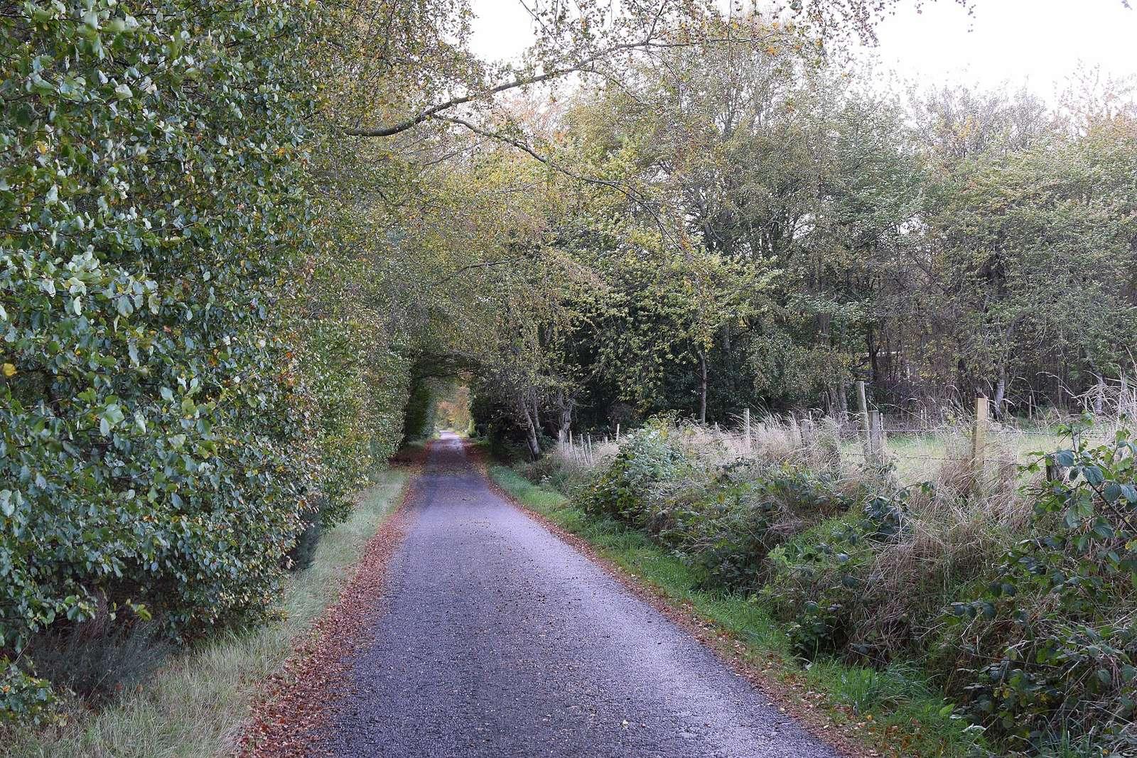
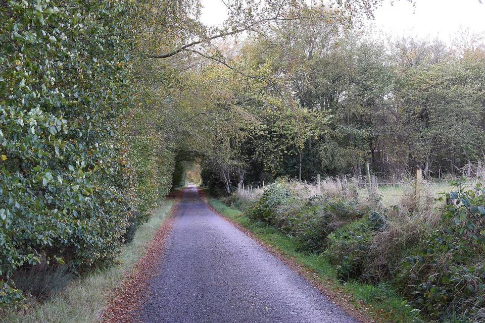
On the road in Aberdeen City

Aberdeen City has one main cycling route starting from Aberdeen. The route is 50 km long with a total climb of 392 m, suitable for mixed riding on a combination of surfaces including paved and unpaved.

The single route is primarily point-to-point, following the Deeside Way. It features mostly cycle paths and tracks with short sections of minor roads and main roads. The terrain is largely flat with some gentle climbing, with the steepest 500 m reaching a 7.7% gradient. The route crosses varied surfaces but is just over half paved.

What the riding is like

The riding terrain in Aberdeen City is mostly flat with 72% flat sections and moderate climbing at 17%, the steepest sustained gradient being 7.7% over 500 m. The single 50 km route involves approximately 392 m of climbing. The route surface is mixed with 52% paved and 47% unpaved sections. The road mix shows 62% cycle path, 15% track, minor and quiet roads each at 8%, and a small percentage on main roads and paths. The climbs are moderate rather than steep or mountainous.

Cycling infrastructure

The routes include 30.8 km of cycle path, 1.3 km of main roads without cycle lanes, and 3.2 km of roads with speed limits of 80 km/h or more.

Best time to ride

The best months to ride are July and August when temperatures reach 17°C, offering the most favourable conditions.

Riding in Aberdeen City in numbers

Added up from the recorded routes and OpenStreetMap; nothing estimated.

1
Route
50 km
In total
50 km
Longest ride
392 m
Most climbing

Where to start in Aberdeen City

Rides in Aberdeen City

When to ride Aberdeen City

Typical conditions by month, 20152024 reanalysis. Bars run from the average daily low to high.

Best months: Jul to Aug.

6°2°J12
7°3°F12
8°3°M14
9°4°A12
13°7°M13
15°10°J13
17°12°J17
17°12°A15
15°10°S13
12°8°O15
9°5°N15
7°3°D16
BestFineHard goingRain days per month under each bar · typical wind 25 km/h from the SW

Elsewhere in United Kingdom: Rhondda Cynon Taf · Stirling · Monmouthshire · Highland · England · Angus · Western Isles · South Ayrshire · Scottish Borders · Gwynedd · Aberdeenshire · West Dunbartonshire · Vale of Glamorgan · East Dunbartonshire · South Lanarkshire · Bridgend County Borough · Perth and Kinross · Falkirk · Dumfries and Galloway · Powys · Caerphilly County Borough · Carmarthenshire · Argyll and Bute · Wrexham · Clackmannanshire · Conwy · Torfaen · Neath Port Talbot · Fife · East Lothian · Dundee City · City of Edinburgh · Merthyr Tydfil County Borough · Moray · Denbighshire · East Renfrewshire · Glasgow City · Inverclyde · Shetland · Pembrokeshire · Isle of Anglesey · North Ayrshire · Blaenau Gwent · Newport · Midlothian · Renfrewshire · Orkney Islands · Swansea