Gravel · United Kingdom
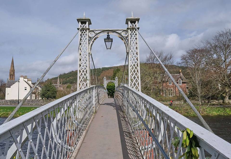
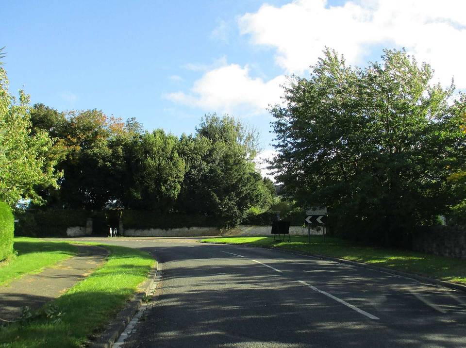
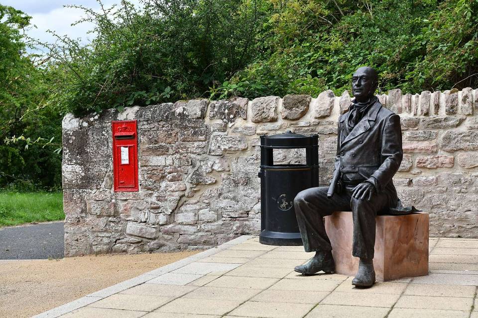
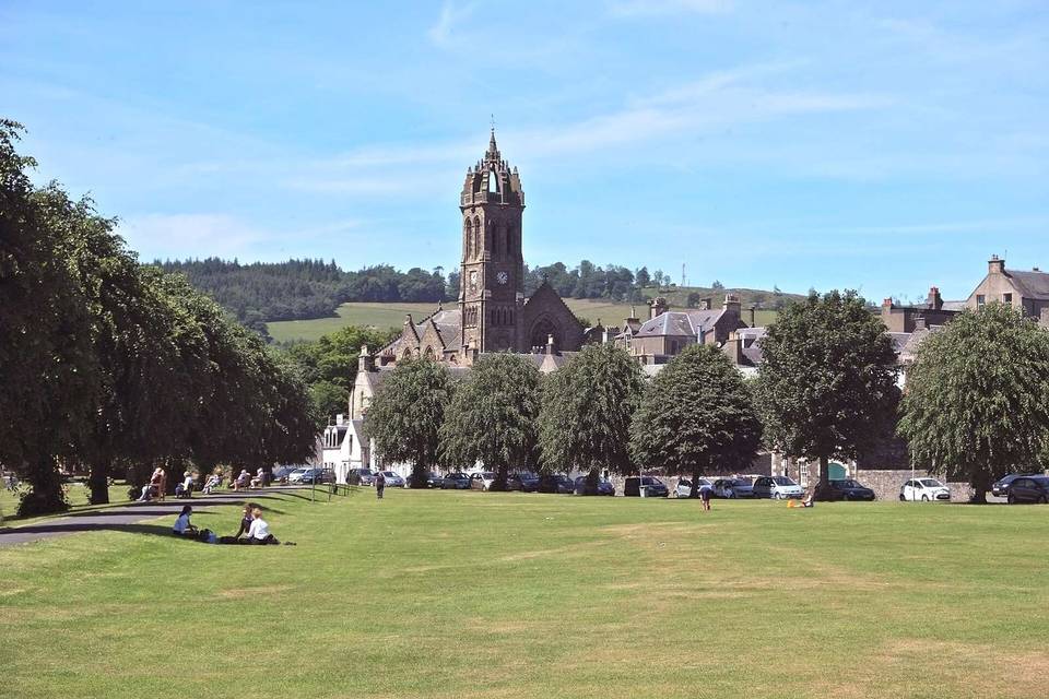
The Scottish Borders offers varied cycling with routes starting mainly from Peebles and Selkirk, featuring rolling terrain, significant climbing, and a mix of minor and main roads.
The Scottish Borders region provides a variety of cycling options with 46 routes totalling 1788 km. The routes begin mostly from Peebles, which has 7 routes, followed by Selkirk with 4, and other towns including Hawick, Duns, and Melrose. Routes range from short distances of 8 km to longer rides up to 110 km. There are 28 loop routes and 18 point-to-point rides, with climbs varying from 67 m to 1482 m across the routes. Cycling in this region includes mainly road rides, with 42 routes on road and 4 on gravel. The roads consist of 46% minor roads and 34% main roads without cycle lanes. Climbing is notable with some routes featuring over 1400 m ascent. Cycling surfaces are predominantly paved at 92%, with some unpaved sections. The steepest climb segments can reach gradients up to 13.4% over 500 m.
Routes in the Scottish Borders are mostly rolling with an average of 26% climbing and half of the terrain flat. Typical route length is 26 km amid a range of 8 to 110 km. Road surfaces are predominantly paved (92%) with minor amounts of unpaved tracks (7%). The road network includes a majority of minor and main roads, with some routes also on tracks and cycle paths. The region's most demanding climbs include the Newcastleton to Peebles route with 1482 m ascent and Melrose to Peebles with 1325 m, reflecting substantial elevation gain in some rides. The steepest gradients recorded reach 13.4% over 500 metres.
Across the 46 routes, cycle paths cover 68.1 km. Routes include 598.5 km on main roads without cycle lanes and 838.1 km on roads with speed limits of 80 km/h or more.
The best months for cycling are from June to August or June to September, with daily high temperatures averaging 17 to 18°C in those months.
Best months: Jun to Sep.