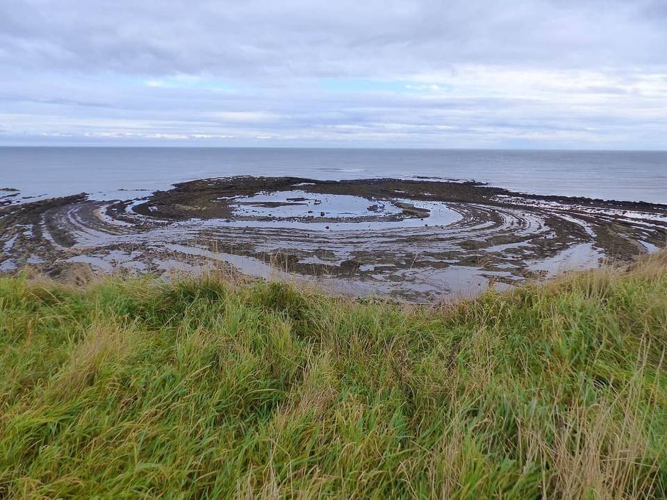
EuroVelo 12 (Scotland section)
- 102 km
- 641 m
- Hard
- Paved
Elevation profile
- 641 m
- 102 km
Route overview
Suitable for cyclists comfortable with 102 km distance and moderate climbing of 641 m.
EuroVelo 12 Scotland section, 102 km from Low Cocklaw to Edinburgh with 641 m climbing.
Starting at Low Cocklaw, the route climbs steadily for 4.8 km with an elevation gain of 140 m, reaching nearby peaks such as Witches Knowe (198 m) and Lamberton Hill (217 m) within the first 6 km. After passing through numerous small settlements including Ayton, Eyemouth, and Pease Bay, the route features a couple more modest climbs around 13 to 15 km and 22 to 23.7 km, with gains of 59 m and 42 m respectively. The highest point of 228 m is near 27.9 km, close to peaks like Meikle Black Law (245 m) and Greenside Hill (235 m).
Highlights
- Starting climb near Witches Knowe (198 m)
- Highest point at 228 m near Meikle Black Law
- Longest descent of 4.4 km after 28.6 km
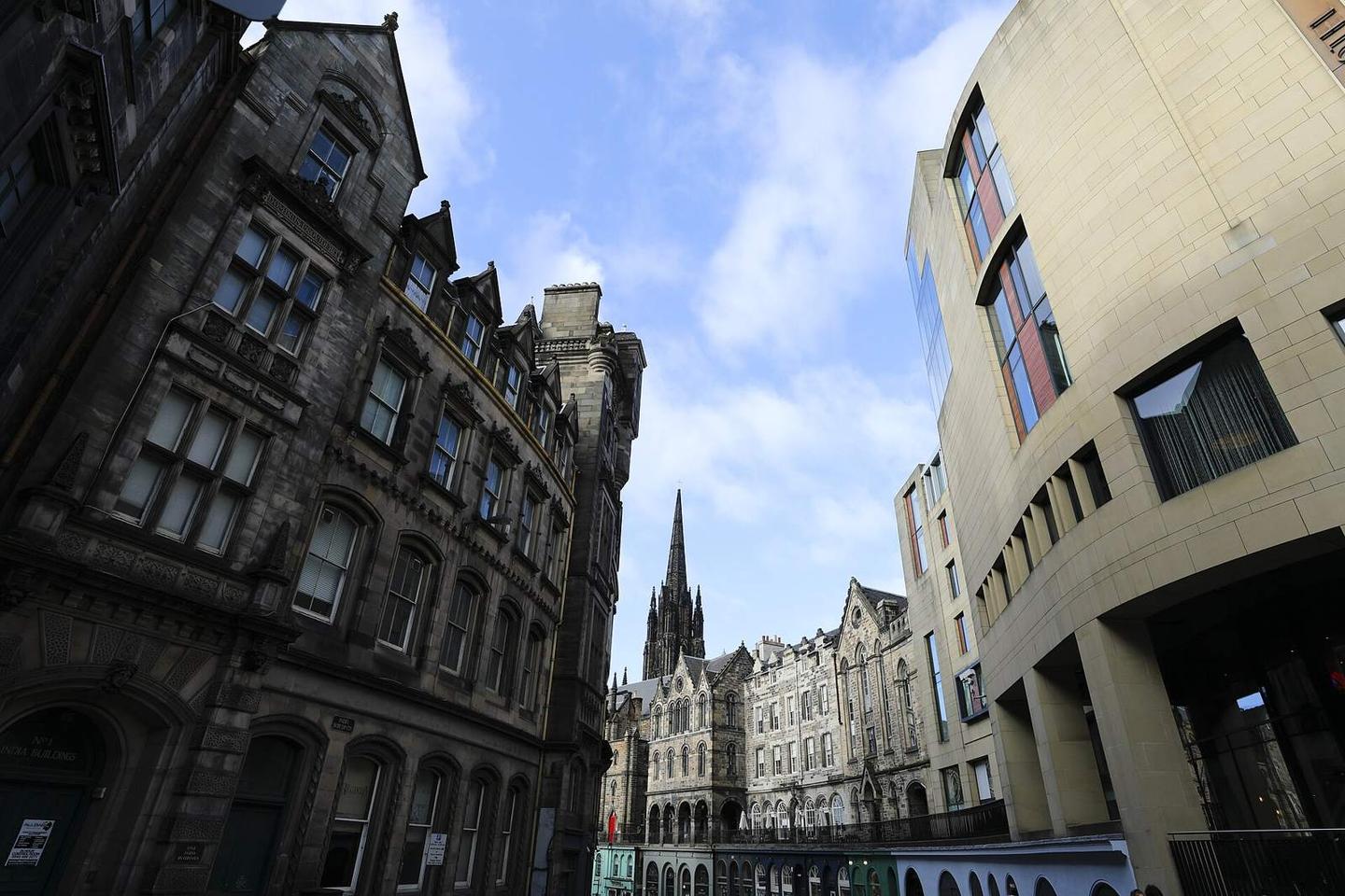
- Passes through Edinburgh's New Town and Old Town
Along the route
Places passed
Climbs
| Climb | Starts at | Length | Gain | Average | Max | Top |
|---|---|---|---|---|---|---|
| — | 0 km | 4.8 km | 140 m | 2.9 % | 5.5 % | 186 m |
| — | 13.1 km | 2.5 km | 59 m | 2.4 % | 3.5 % | 72 m |
| — | 22.1 km | 1.7 km | 42 m | 2.5 % | 3.2 % | 178 m |
What this ride is like
- Roads
- 36% minor road · 27% cycle path · 22% main road · 7% quiet street
- Main roads
- 22.5 km on main roads without a cycle lane — likely busier
- Fast roads
- 26.4 km on roads with a limit of 80 km/h or more
- Cycle paths
- 28.5 km on cycle paths or roads with a cycle lane
- Main roads used
- A1107 (8 km), B1348 (5 km), B6355 (4 km)
- Surface
- Paved throughout
- Gradient
- 14% climbing · 14% descending · 72% flat
- Longest descent
- 4.4 km from 28.6 km, dropping 181 m
Along the way
Longest stretch without a café, shop or water: 19 km, from 14 km to 33 km.
Food, water and shops
- 13.4 kmLough's Home Bakery · bakery · 110 m off route
- 13.6 kmTop Up Tap · drinking water · 70 m off route
- 32.7 kmCafé · 60 m off route
- 47.4 kmThe Co-operative Food · supermarket · 130 m off route
- 47.7 kmToilets · on the route
- 48.3 kmRigg Service Station · petrol station · 250 m off route
- 65.9 kmMarket Street Pharmacy · pharmacy · 70 m off route
- 66.1 kmTesco · supermarket · 90 m off route
- 68.5 kmShell · petrol station · 150 m off route
- 76.1 kmThe Picnic Box · kiosk · 40 m off route
- 78.7 kmDrinking water · 80 m off route
- 82 kmToilets · 40 m off route
- 82.1 kmWell Pharmacy · pharmacy · on the route
- 87.9 kmAce Bike Co · bike shop · 260 m off route
- 88.3 kmCompany Bakery · bakery · 120 m off route
- 96.6 kmSpring · 100 m off route
- 98.8 kmUplands Roast Coffee · café · on the route
- 99.1 kmMackenzie & Co. Chemists · pharmacy · on the route
Need to bail out?
- 47 km — Dunbar (station), 210 m off route
- 56.8 km — East Linton (station), 640 m off route
- 74.4 km — Longniddry (station), 50 m off route
- 82 km — Prestonpans (station), 930 m off route
- 91.3 km — Newcraighall (station), 30 m off route
- 99.7 km — Edinburgh Waverley (station), 260 m off route
Worth a stop
- 22.5 km — Press Castle (castle)
- 47.2 km — Abbey Church (deconsecrated) (ruins)
- 54.3 km — Kirklandhill (archaeological site)
- 65.9 km — Mercat Cross (monument)
- 83.6 km — Kiln (ruins)
- 99.2 km — Greyfriars Bobby (attraction)
At the finish
- Cafe on the Mound · café · 50 m
- Zebra Coffee Co. · café · 110 m
- Wash Bar · pub · 60 m
- The Makar's Rest · bar · 70 m
- Makars Gourmet Mash Bar Company · fast food · 110 m
Stay after this ride
- Radisson Collection Royal Mile Edinburgh · hotel · 170 m from the finish
- Gladstone’s Land Apartments · apartment · 90 m from the finish
- Fraser Suites Edinburgh · hotel · 180 m from the finish
- Virgin Hotels Edinburgh · hotel · 220 m from the finish
- Royal Mile Apartments · hotel · 200 m from the finish
Practical information
- Paved
- Point to point
- 7 h 18 min
- Jun to Sep — daily highs of 16–18 °C in those months
Know before you go
- 18.5 km without café, shop or water from km 14.2 to 32.7
- 22.5 km on main roads without cycle lanes
- 26.4 km on roads with 80 km/h or more speed limit
- 0.8 km on gravel or unpaved surfaces