Cyclists.com

Ladykirk to Hawick

Ladykirk, Scottish Borders, United KingdomRoad

Signed route The waymarked Border Loop (Scottish Borders Council BL), traced from OpenStreetMap and measured against the terrain model; no member has recorded it yet. Stage 1 of 4 of the Border Loop. Ridden it? Add your recording and photos.

105 km
Distance
969 m
Elevation gain
Hard
Difficulty
Paved
Surface
Download GPXMap

Elevation profile

Total ascent
969 m
Distance
105 km
0100200300400m0 km255075104 km303 m · highest, at 81.0 kmStartFinish

Route overview

Riders prepared for a long ride with moderate climbing over varied road types.

Stage 1 of 4 of the Border Loop: 104.5 km from Ladykirk to Hawick with 969 m of climbing, on the signed route.

This 104.5 km route starts at Ladykirk near Norham, then passes through numerous small settlements including Kelso and Kirk Yetholm before finishing in Hawick. The ride is predominantly on paved surfaces (97%), with minor gravel sections (2%) and includes a mix of road types: 62% minor roads, 31% main roads, plus some quiet streets and tracks. Key climbs include a 5.5 km segment starting at 31 km climbing 143 m, and six more smaller hills spread through the latter part of the route. The highest point is reached at 79.2 km, at 302 m elevation. The route features long stretches without amenities: from 43.3 km to 86.1 km there is no café, shop, or water for 42.8 km. However, a few stops near the town of Kelso offer shops, cycle shops, and cafés just off route around the 29-30 km mark. Toilets can be found near Kelso, Yetholm, and Hawick. The climb profiles include moderate average gradients mostly under 4%, with maximum gradients up to 7.4%. Some sections lie nearby hills and peaks such as Hirsel Law (96 m at 10.6 km), Ednam Hill (86 m at 25.7 km), and Yetholm Law (232 m at 44.3 km).

Highlights

  • Corbet Tower castle near 50 km
  • Thirlestane Tower archaeological site near 41 km
  • Hirsel Law peak at 10.6 km
  • Yetholm Law peak at 44.3 km

Along the route

Measured from the recorded track and OpenStreetMap.

Places passed

  1. Milne Graden West Mains 5.8 km
  2. Todhillrig 8 km
  3. Hirsel Law 9.7 km
  4. Castlelaw 10.9 km
  5. Homebank 14.3 km
  6. Fernyrig 15.5 km
  7. Eccles Newton 17.1 km
  8. Eccles 19 km
  9. Harlaw 21.7 km
  10. Blue Houses 22.4 km
  11. Hassington Mains 22.4 km
  12. Stichill Eastfield 22.8 km
  13. Kaimflat 23.8 km
  14. Ednam 25.6 km
  15. Sydenham Farm 26.1 km
  16. Kelso 29.3 km
  17. Wooden Mill 31.2 km
  18. Windywalls 33.6 km
  19. Lurdenlaw 35.9 km
  20. Kirk Yetholm 43.1 km
  21. Town Yetholm 43.1 km
  22. Duncanshaugh 44.3 km
  23. Primsidemill 44.8 km
  24. Primside 45.7 km
  25. Crookedshaws 46.6 km
  26. Morebattle 49 km
  27. Corbet Tower 49.8 km
  28. Gateshaw 51.2 km
  29. West Grange 51.2 km
  30. Heavyside 53.1 km
  31. Howgate 53.6 km
  32. Hownam Mains 53.8 km
  33. Sharplaw 54.5 km
  34. Hownam 54.8 km
  35. Philogar 56.4 km
  36. Chatto 56.8 km
  37. Sunnylaws 58.4 km
  38. Towford 60.9 km
  39. Middlesknowes 62.7 km
  40. Swinside Townhead 66 km
  41. Bloodylaws 66.7 km
  42. Newbigging Birks 69.2 km
  43. Newbigging Bush 70.3 km
  44. Camptown 73.9 km
  45. Mervinslaw 75.3 km
  46. Broomhills 80.4 km
  47. Chesters 81.5 km
  48. Doorpool 82.9 km
  49. Braidhaugh 84.7 km
  50. Hobkirk 85.2 km
  51. Bonchester Bridge 86.1 km
  52. Phantasy 87.5 km
  53. Hawthornside 88.1 km
  54. Stobs 96.5 km
  55. Newmill 97.5 km
  56. Colislinn 98.1 km
  57. Flex 99.3 km
  58. Greenbraehead 100.3 km
  59. Crowbyres 100.6 km
  60. Hawick 102.1 km
  61. Wilton 102.1 km

Climbs

ClimbStarts atLengthGainAverageMaxTop
31 km5.5 km143 m2.6 %7.4 %186 m
54.6 km2.1 km46 m2.2 %3.4 %188 m
59.7 km1.6 km41 m2.6 %6.3 %241 m
68.2 km2.9 km57 m2 %2.8 %198 m
73.7 km5.2 km163 m3.1 %4.9 %301 m
85.9 km2 km83 m4.1 %6.2 %236 m

High point 302 m at 79.2 km; low point 10 m. Passes beneath Lot Law, Hirsel Law, Wormer Law.

What this ride is like

Measured from OpenStreetMap along the track and the elevation profile.

Roads
62% minor road · 31% main road · 3% quiet street · 1% track · 1% unmapped
Main roads
32.6 km on main roads without a cycle lane — likely busier
Fast roads
59.1 km on roads with a limit of 80 km/h or more
Main roads used
B6399 (8 km), A6088 (6 km), B6352 (5 km), B6401 (5 km)
Surface
Paved throughout
Gradient
25% climbing · 18% descending · 57% flat
Steep sections
2.3 km over 5% · steepest 500 m averages 6% at 62.1 km
Longest descent
4 km from 95.7 km, dropping 95 m

Along the way

Within a few hundred metres of the track, from OpenStreetMap. Opening hours change — treat this as where to look, not a promise.

Longest stretch without a café, shop or water: 43 km, from 43 km to 86 km.

Food, water and shops

  1. 29.1 kmCaroline's Coffee Shop · café · on the route
  2. 29.2 kmToilets · on the route
  3. 29.3 kmCo-op Food · supermarket · 150 m off route
  4. 29.3 kmBoots · pharmacy · 40 m off route
  5. 29.4 kmSimon Porteous Cycles · bike shop · on the route
  6. 30.2 kmMaxwell Motors · petrol station · on the route
  7. 41.3 kmSpring · 70 m off route
  8. 43.3 kmThe Plough Hotel · pub · on the route
  9. 43.3 kmYetholm Village Shop · convenience store · 50 m off route
  10. 43.3 kmToilets · 50 m off route
  11. 86.1 kmHorse and Hound · pub · 30 m off route
  12. 101.9 kmToilets · 150 m off route
  13. 102.1 kmDamascus Drum · café · 80 m off route
  14. 102.1 kmHawick Market · convenience store · 150 m off route
  15. 102.1 kmHawick Cycles · bike shop · 450 m off route
  16. 102.1 kmDelooze Hearing · clinic · 130 m off route

Worth a stop

  • 18.8 kmSt Mary's Convent (ruins)
  • 26.7 kmThomson Monument (viewpoint)
  • 30.1 kmBridgend Park Viewpoint (viewpoint)
  • 40.9 kmThirlestane Tower (Site of) (archaeological site)
  • 50.2 kmCorbet Tower (castle)
  • 95.7 kmDenholm Hill (archaeological site)

At the finish

  • Damascus Drum · café · 80 m
  • Espresso Library · café · 90 m
  • G Harrow & Son Homebakery · bakery · 140 m
  • Exchange Bar · pub · 80 m
  • New Lam Wah 新南华 · restaurant · 90 m

Stay after this ride

  • Log Burner Apartment · apartment · 110 m from the finish
  • Teviotside Guest House · guest house · 660 m from the finish
  • Balcary House Hotel · hotel · 770 m from the finish
  • Old Mansfield Bar · apartment · 980 m from the finish

Practical information

Surface
Paved
Route shape
Point to point
Riding time
7 h 28 min
Best months
Jun to Sep — daily highs of 17–19 °C in those months

Know before you go

  • 42.8 km without café, shop or water from 43.3 km to 86.1 km
  • 32.6 km on main roads without cycle lane
  • 59.1 km on roads with posted limits 80 km/h or more
  • 2% gravel or unpaved surface

Routes are for inspiration. Roads, surfaces and conditions change — check locally and ride within your limits.

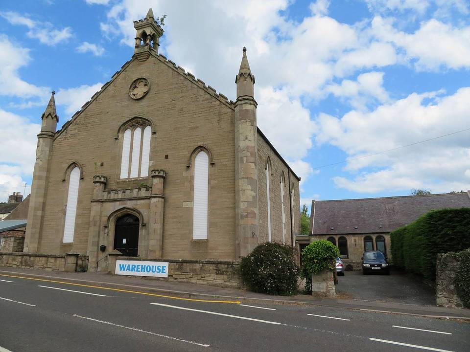
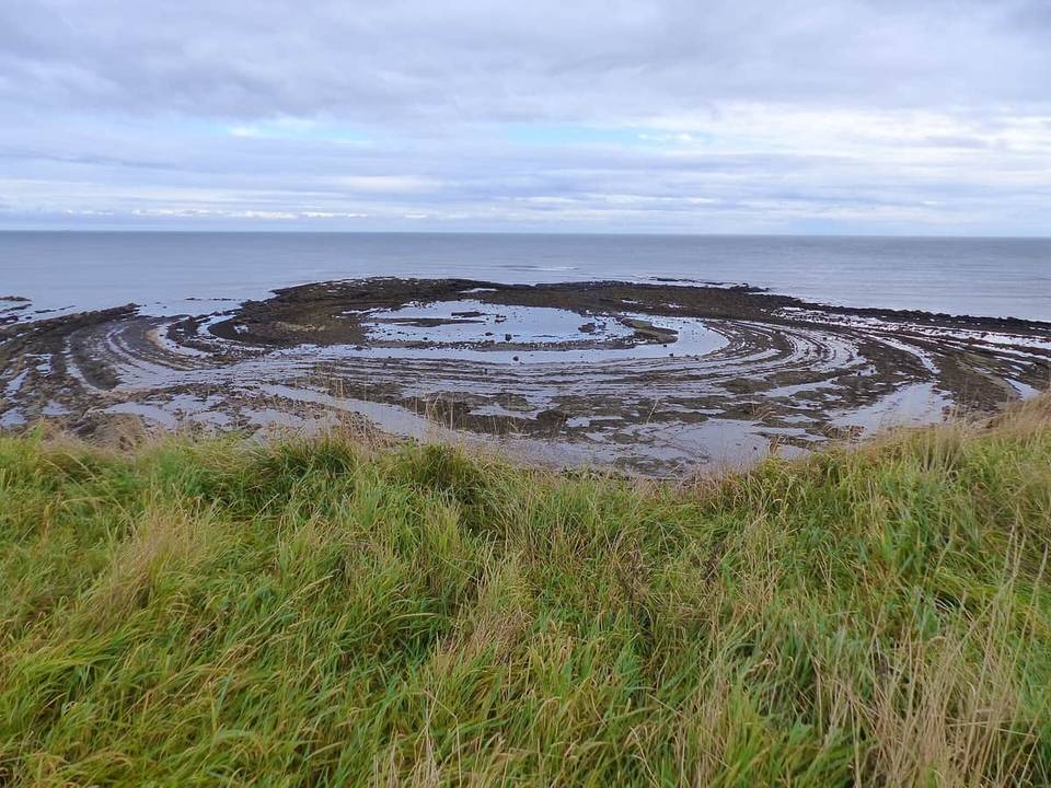
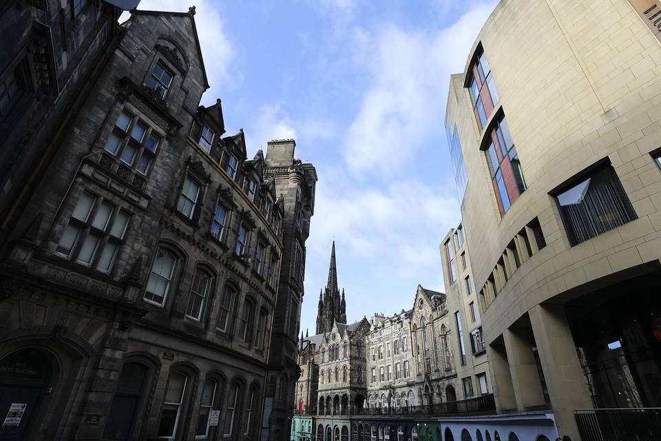
2 photographs from the road

Photo: Victuallers · CC BY-SA 4.0 · Wikimedia Commons · Photo: Martin Dawes · CC BY-SA 2.0 · Wikimedia Commons · Photo: Richard Webb · CC BY-SA 2.0 · Wikimedia Commons

Stage of