Cyclists.com

Hawick to Peebles

Hawick, Scottish Borders, United KingdomRoad

Signed route The waymarked Border Loop (Scottish Borders Council BL), traced from OpenStreetMap and measured against the terrain model; no member has recorded it yet. Stage 2 of 4 of the Border Loop. Ridden it? Add your recording and photos.

100 km
Distance
913 m
Elevation gain
Hard
Difficulty
Paved
Surface
Download GPXMap

Elevation profile

Total ascent
913 m
Distance
100 km
0100200300400500m0 km255075100 km448 m · highest, at 54.2 kmStartFinish

Route overview

Riders seeking a 100 km route with moderate climbing totalling 913 m.

Stage 2 of 4 of the Border Loop: 100.1 km from Hawick to Peebles with 913 m of climbing, on the signed route.

This route starts in Hawick and passes Wilton, Martinshouse, Borthaugh, Branxholm Woodfoot, and Roberton in the first 8 km. The initial climb begins shortly after Wilton, lasting 1.4 km with an average gradient of 3.2%, peaking at 150 m. Further climbing near Roberton rises 158 m over 3.5 km at up to 7.9%. The road includes 57.1 km on main roads, mostly without cycle lanes, and 35.9 km on minor roads, plus some quiet streets and paths. The longest named roads include the B711 (21.6 km), A701 (12.6 km), B709 (10.3 km), and A708 (7 km).

Highlights

  • Passing near Hartleap Knowe peak at 30 km
  • Climbing peak elevation of 448 m at km 53.5
  • Longest named road: B711 for 21.6 km
  • Route ends in Peebles with cafes and bike shop

Along the route

Measured from the recorded track and OpenStreetMap.

Places passed

  1. Martinshouse 3 km
  2. Borthaugh 3.5 km
  3. Branxholm Woodfoot 3.6 km
  4. Roberton 8.3 km
  5. Cappercleuch 42.6 km
  6. Meggethead 50.8 km
  7. Talla Linnfoots 55.5 km
  8. Tweedsmuir 61.5 km
  9. Glenveg 63.3 km
  10. Crookhaugh 63.7 km
  11. Hearthstane 63.7 km
  12. Rachan Mill 72.7 km
  13. Calzeat 74.1 km
  14. Broughton 74.7 km
  15. Stobo 83.9 km
  16. Lyne Station 87.8 km
  17. Kirkton 91 km

Climbs

ClimbStarts atLengthGainAverageMaxTop
0.3 km1.4 km46 m3.2 %4.7 %150 m
7.6 km3.5 km158 m4.6 %7.9 %327 m
25.9 km3.3 km120 m3.7 %5.5 %356 m
44.2 km2.3 km75 m3.3 %7.7 %351 m
51 km2.4 km97 m4 %6.4 %448 m
76.1 km1 km44 m4.3 %6.5 %248 m
87.8 km1.9 km77 m4 %5 %250 m

High point 448 m at 53.5 km; low point 103 m. Passes beneath Hardie's Hill, Branxholmepark Hill, Borthaugh Hill.

What this ride is like

Measured from OpenStreetMap along the track and the elevation profile.

Roads
58% main road · 36% minor road · 3% quiet street · 1% path
Main roads
57.2 km on main roads without a cycle lane — likely busier
Fast roads
73.8 km on roads with a limit of 80 km/h or more
Main roads used
B711 (22 km), A701 (13 km), B709 (10 km), A708 (7 km)
Surface
Paved throughout
Gradient
20% climbing · 20% descending · 59% flat
Steep sections
3.8 km over 5% · steepest 500 m averages 7.3% at 10.5 km
Longest descent
3.4 km from 20.4 km, dropping 68 m

Along the way

Within a few hundred metres of the track, from OpenStreetMap. Opening hours change — treat this as where to look, not a promise.

Longest stretch without a café, shop or water: 39 km, from 25 km to 64 km.

Food, water and shops

  1. 0 kmDamascus Drum · café · 40 m off route
  2. 0.3 kmHawick Cycles · bike shop · 430 m off route
  3. 0.4 kmLidl · supermarket · 150 m off route
  4. 0.4 kmToilets · on the route
  5. 0.6 kmTeviot Day Service · clinic · 40 m off route
  6. 25.2 kmTushielaw Inn · pub · 60 m off route
  7. 64.2 kmWee Crook Cafe · café · 50 m off route
  8. 74.6 kmDrinking water · 40 m off route
  9. 74.6 kmAlexander Park Toilets · toilets · 40 m off route
  10. 75.1 kmLaurel Bank · café · 70 m off route
  11. 75.1 kmBroughton Village Store · convenience store · on the route
  12. 97.8 kmGlen Road Stores · convenience store · 130 m off route
  13. 98.3 kmToilets · 40 m off route
  14. 98.5 kmThe Fat Batard · bakery · 270 m off route
  15. 98.5 kmTop Up Tap · drinking water · 200 m off route
  16. 98.5 kmBspoke Cycles · bike shop · 330 m off route
  17. 98.5 kmBoots · pharmacy · 310 m off route

Worth a stop

  • 0 kmHeart of Hawick (attraction)
  • 30 kmHartleap Knowe (peak)
  • 41.2 kmSt Marys Kirk Yard (attraction)
  • 77.2 kmDreva Craig Hillfort (archaeological site)
  • 89.8 kmHunt Hill (peak, 327 m)

At the start

  • Damascus Drum · café · 80 m
  • Espresso Library · café · 90 m
  • G Harrow & Son Homebakery · bakery · 140 m
  • Exchange Bar · pub · 80 m
  • New Lam Wah 新南华 · restaurant · 90 m

At the finish

  • The Fat Batard · bakery · 270 m
  • Costa · café · 330 m
  • The Bridge Inn · pub · 360 m
  • The Milkman · café · 310 m
  • Bspoke Cycles · bike shop · 330 m

Stay after this ride

  • Kingsmuir House · guest house · 350 m from the finish
  • Dilkusha House · guest house · 290 m from the finish
  • Tontine Hotel · hotel · 280 m from the finish
  • Park Hotel · hotel · 280 m from the finish
  • Green Tree Hotel · hotel · 350 m from the finish

Practical information

Surface
Paved
Route shape
Point to point
Riding time
7 h 09 min
Best months
Jun to Sep — daily highs of 16–18 °C in those months

Know before you go

  • 39 km no café, shop or water between km 25.2 and 64.2
  • 57.2 km on main roads without cycle lanes
  • 73.8 km on roads with speed limits of 80 km/h or more
  • 3.8 km of climbing at gradients over 5%

Routes are for inspiration. Roads, surfaces and conditions change — check locally and ride within your limits.

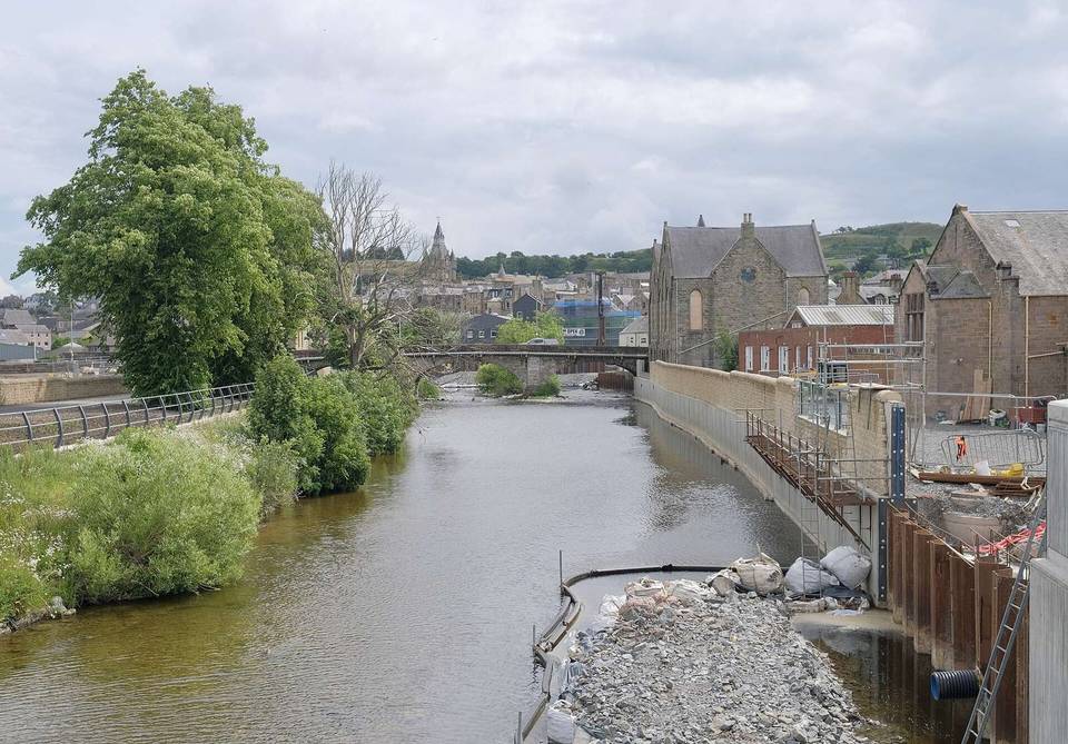
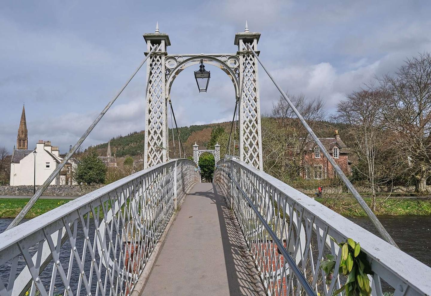
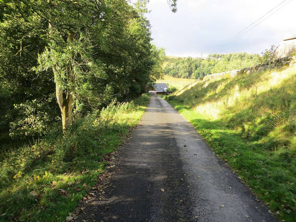
2 photographs from the road

Photo: Victuallers · CC BY-SA 4.0 · Wikimedia Commons · Photo: Anthony O'Neil · CC BY-SA 2.0 · Wikimedia Commons · Photo: Alan O'Dowd · CC BY-SA 2.0 · Wikimedia Commons

Stage of

More rides from Hawick