Road · United Kingdom
A hilly 16 km road cycling loop from Hawick, Scottish Borders through Roberton, with 172 m of climbing.
This 16.3 km loop starts and finishes in Hawick in the Scottish Borders, passing through Roberton at 4.6 km. The route climbs steadily from 7.8 km over 2 km, gaining 112 m at an average gradient of 5.6%, reaching a high point of 283 m at 9.8 km. The descent follows for nearly 3 km dropping 80 m mainly after 10.7 km.
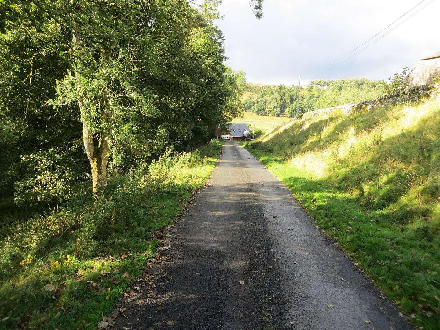
The surface is predominantly paved (97%) with minor gravel sections (3%). Approximately two-thirds of the ride is on minor roads (10.8 km), and just under one-third on main roads (5 km) including a 5 km stretch on the B711. The main roads lack cycle lanes and 11.5 km have speed limits of 80 km/h or higher.
No cafés, shops, or water are available along the entire route. Peaks near the road include Borthaugh Hill (1.4 km), Highchesters Hill (2 km), Chapel Hill (10.5 km, 307 m off route), and Branxholmepark Hill (15.1 km, 389 m off route).
| Climb | Starts at | On this ride | Top on this ride |
|---|---|---|---|
| Unnamed climb | 7.8 km | 2 km · 112 m · 5.6 % · max 7.5 % | 283 m |
Expect stretches on main roads without a cycle lane (5 km in all) between quieter sections.
No café, shop or water point is mapped along the route - carry everything you need.