
Gravel · United Kingdom
Stage 3 of 4 · Border Loop← Stage 2Stage 4 →
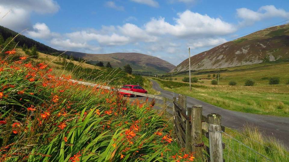
A hilly 68 km road cycling route from Peebles, Scottish Borders to Melrose through Cardrona, Old Howford and Traquair, with 564 m of climbing. Most of it (37 km) is on main roads without a cycle lane, 40.4 km where the limit is 80 km/h or more. There is a 34 km stretch without a café, shop or water (km 14–48).
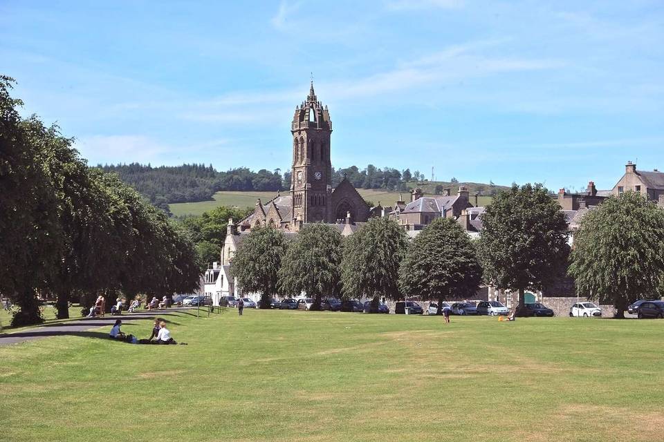
This 67.5 km point-to-point ride starts in Peebles and heads southeast through several villages and towns including Cardrona, Old Howford, Traquair, and Innerleithen. The route includes 37 km on main roads without cycle lanes, mostly along the B709 for 23.4 km and B7062 for 11.2 km, with minor roads and some quiet streets and cycle paths making up the rest. Surface is predominantly paved (99%) with only 1% unpaved.
The ride has two main climbs: a 5.8 km ascent from 19.3 km gaining 158 m at an average gradient of 2.7%, reaching 376 m at 25.1 km; and a steeper 3.3 km climb from 48.3 km rising 178 m at 5.4% average, with a maximum of 11% gradient. The highest point on the ride is 376 m, and the lowest 88 m near the finish. The longest descent is 3.8 km starting at about 25.2 km, dropping 74 m.
Facilities at the start in Peebles include cafés, bike shops, and drinking water, while at the finish in Melrose there are cafés, bike shops, a supermarket, and toilets. There is a long 34.2 km stretch with no café, shop, or water between 14 km and 48.2 km, but bailout points are available at Stow (48.2 km) and Tweedbank (64 km).
| Climb | Starts at | On this ride | Top on this ride |
|---|---|---|---|
| Unnamed climb | 19.3 km | 5.8 km · 158 m · 2.7 % · max 4.7 % | 376 m |
| Unnamed climb | 48.3 km | 3.3 km · 178 m · 5.4 % · max 11 % | 360 m |
This is not a cycle-track route: 55% is on main roads without a cycle lane, 40.4 km of it where the limit is 80 km/h or more. Riders should be comfortable sharing the road with faster traffic.
The longest stretch without a café, shop or water is 34 km, from km 14 to 48. Along the route: 57 cafés and restaurants, 15 shops, 3 water points, 2 petrol stations, 10 public toilets and 9 bike shops.