Road · United Kingdom
A hilly 19 km road cycling route from Peebles, Scottish Borders through Kirkton and Lyne Station, with 255 m of climbing.
The route starts near Peebles at km 1.2, passing Glen Road Stores to the start point. The first climb begins just after 1.5 km and rises 80 m at an average gradient of 4.6%, reaching 245 m at 3.3 km. The road is mainly minor roads (84%) and quiet streets (12%), with 3% path. Around 6.1 km the second climb starts, gaining 59 m over 1.4 km at 4.3% average, topping out at 251 m near Kirkton and passing Hunt Hill to the east at 7.6 km.
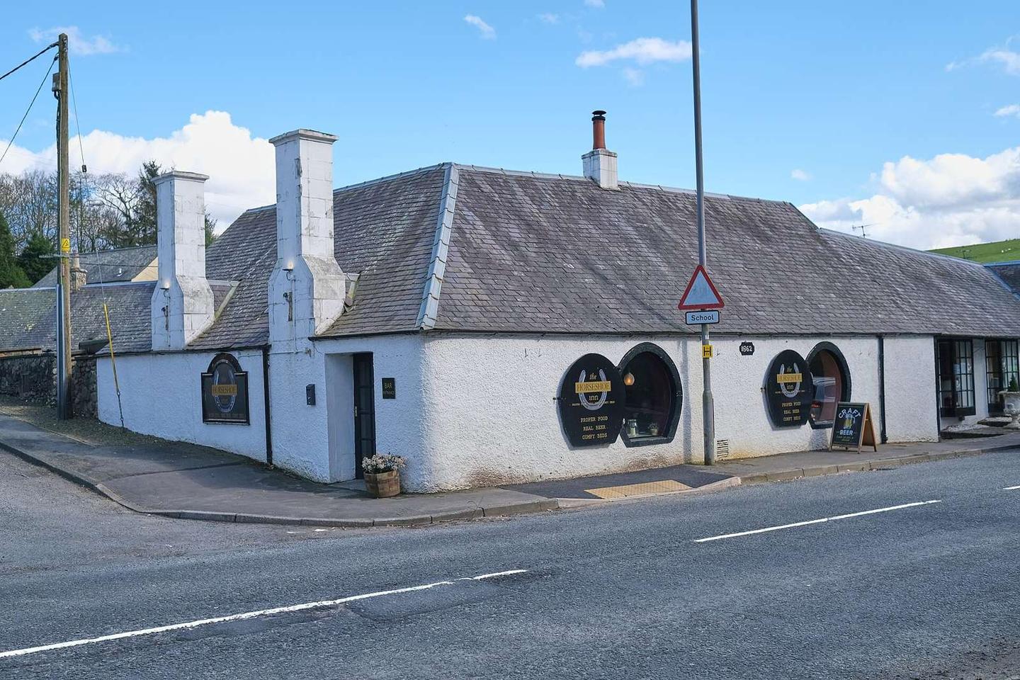
After Lyne Station at 9.9 km, the last climb begins at 12.1 km and is the longest at 3.1 km with 70 m elevation gain, averaging 2.3% and topping at 279 m at 15.2 km. The profile features a 3.6 km longest descent beginning just after this high point. The road surface is 96% paved, with 2% gravel or unpaved. The final destination is Eddleston at 18.9 km, close to Horse Shoe Inn restaurant. The route is beneath peaks such as Edston Hill, South Hill Head, Black Meldon, White Meldon, and Hog Knowe.
| Climb | Starts at | On this ride | Top on this ride |
|---|---|---|---|
| Unnamed climb | 1.5 km | 1.8 km · 80 m · 4.6 % · max 6.8 % | 245 m |
| Unnamed climb | 6.1 km | 1.4 km · 59 m · 4.3 % · max 6.5 % | 251 m |
| Unnamed climb | 12.1 km | 3.1 km · 70 m · 2.3 % · max 3.7 % | 279 m |
Mostly minor roads and streets on the map.
The longest stretch without a café, shop or water is 18 km, from km 1 to 19. Along the route: 20 cafés and restaurants, 3 shops, 1 water point, 2 public toilets and 3 bike shops.