Cyclists.com

Peebles to Musselburgh

Peebles, Scottish Borders, United KingdomGravel

Signed route The waymarked Capital Trail, traced from OpenStreetMap and measured against the terrain model; no member has recorded it yet. Stage 3 of 3 of the Capital Trail. Ridden it? Add your recording and photos.

82 km
Distance
957 m
Elevation gain
Hard
Difficulty
Mixed
Surface
Download GPXMap

Elevation profile

Total ascent
957 m
Distance
82 km
0100200300400500m0 km20406082 km481 m · highest, at 31.7 kmStartFinish

Route overview

Suitable for experienced cyclists ready for an 81.6 km ride with nearly 1000 m climbing.

Stage 3 of 3 of the Capital Trail: 81.6 km from Peebles to Musselburgh with 957 m of climbing, on the signed route.

Starting at Peebles, the route heads through Romanno Bridge, West Linton, Carlops and Nine Mile Burn before reaching Kirkton. It climbs notably between km 1.1 and 3, km 5.9 to 8.6 and km 27.2 to 30. The highest point is at 481 m near km 30. The opening section of the route has a longest stretch of 18.6 km with no café, shop or water from km 1.6 to 20.2. Surface is 56% paved and 42% gravel or unpaved, with 30% of the route on paths and 17% on tracks. Main roads and roads with cycle lanes account for just 7% combined, with 3.7 km on main roads without cycle lanes and 3.1 km on roads with 80 km/h or more speed limits. From Kirkton, the route continues through Currie, Juniper Green, Cammo, Cramond and Edinburgh suburbs to Musselburgh. Cafés and shops are more frequent in the latter part including The Old Bakehouse at 20.4 km and Company Bakery near the finish.

Highlights

  • Highest point at 481 m near km 30
  • Climbs averaging 5.2% to 7% gradients
  • Passes near Cap Law 497 m and West Kip 551 m
  • Longest descent 9.1 km dropping 279 m from km 43.7

Along the route

Measured from the recorded track and OpenStreetMap.

Places passed

  1. Romanno Bridge 14.3 km
  2. West Linton 20.2 km
  3. Cargarrie Lea Hazlieburn 23.6 km
  4. Carlops 25.3 km
  5. Peggyslea 27.2 km
  6. Nine Mile Burn 27.7 km
  7. Kirkton 39.5 km
  8. Currie 45.6 km
  9. Blinkbonny 45.7 km
  10. Juniper Green 46.6 km
  11. Hermiston 49.1 km
  12. Gogar 51.9 km
  13. West Craigs 53 km
  14. Cammo 55.4 km
  15. Cramond 56.8 km
  16. Granton 63 km
  17. Newhaven 64.4 km
  18. Trinity 64.9 km
  19. Edinburgh 65.7 km
  20. Leith 67.4 km
  21. Restalrig 69.1 km
  22. Lochend 69.1 km
  23. Craigentinny 70.7 km
  24. Portobello 71.9 km
  25. Brunstane 73.3 km
  26. Joppa 73.6 km
  27. Fisherrow 75.5 km
  28. Musselburgh 76.9 km
  29. Stoneybank 77.7 km
  30. Monktonhall 77.7 km

Climbs

ClimbStarts atLengthGainAverageMaxTop
1.1 km1.9 km131 m7 %12 %303 m
5.9 km2.7 km141 m5.2 %14 %401 m
11.2 km1.6 km66 m4.2 %7.5 %347 m
15.6 km1.8 km61 m3.4 %11.1 %281 m
19.8 km2.4 km75 m3.1 %6.1 %306 m
27.2 km2.8 km184 m6.7 %12.1 %481 m
39.5 km2 km110 m5.6 %7.7 %338 m

High point 481 m at 30 km; low point 1 m. Passes beneath Hamilton Hill, Hog Knowe, Kilrubie Hill.

What this ride is like

Measured from OpenStreetMap along the track and the elevation profile.

Roads
30% path · 17% track · 17% quiet street · 13% cycle path
Main roads
3.7 km on main roads without a cycle lane — likely busier
Fast roads
3.1 km on roads with a limit of 80 km/h or more
Cycle paths
12.3 km on cycle paths or roads with a cycle lane
Surface
56% paved · 42% gravel or unpaved
Gradient
22% climbing · 30% descending · 48% flat
Steep sections
6 km over 5% · 2.5 km over 8% · 1.8 km over 10% · steepest 500 m averages 12.7% at 8.1 km
Longest descent
9.1 km from 43.7 km, dropping 279 m

Along the way

Within a few hundred metres of the track, from OpenStreetMap. Opening hours change — treat this as where to look, not a promise.

Longest stretch without a café, shop or water: 19 km, from 2 km to 20 km.

Food, water and shops

  1. 0 kmThe Fat Batard · bakery · 120 m off route
  2. 0 kmBspoke Cycles · bike shop · 270 m off route
  3. 0.7 kmRosetta Road Store · convenience store · on the route
  4. 20.2 kmToilets · 40 m off route
  5. 20.4 kmThe Old Bakehouse · restaurant · on the route
  6. 37.2 kmLoganlea Fishery · café · on the route
  7. 46.4 kmSainsbury's · petrol station · 180 m off route
  8. 48.2 kmBike Bothy · bike shop · 290 m off route
  9. 56 kmMiller & Carter · restaurant · 130 m off route
  10. 61.9 kmThe Pitt · market · 50 m off route
  11. 64.3 kmBike rental · 70 m off route
  12. 66.7 kmToilets · 100 m off route
  13. 67.9 kmTop Up Tap · drinking water · 240 m off route
  14. 69.8 kmLidl · supermarket · 120 m off route
  15. 71.7 kmB G Cycles · bike shop · 220 m off route
  16. 72.2 kmTop Up Tap · drinking water · 60 m off route
  17. 75.1 kmBP · petrol station · 50 m off route
  18. 76.9 kmAce Bike Co · bike shop · 310 m off route

Need to bail out?

  • 52.5 kmEdinburgh Gateway (station), 440 m off route
  • 66.8 kmCruise Liner Terminal (ferry), 610 m off route
  • 73.3 kmBrunstane (station), 840 m off route

Whether bikes are carried depends on the service — check before relying on it.

Worth a stop

  • 21.7 kmStonypath Temporary Camp (archaeological site)
  • 30 kmCap Law (peak, 497 m)
  • 34 kmBavelaw Castle (castle)
  • 37.2 kmHowletts House (ruins)
  • 58.2 kmCramond Tower (castle)
  • 65.9 kmBonnington Mill Waterwheel (remains) (archaeological site)

At the start

  • The Fat Batard · bakery · 120 m
  • The Bridge Inn · pub · 180 m
  • Top Up Tap · drinking water · 60 m
  • Costa · café · 200 m
  • The Milkman · café · 170 m

At the finish

  • Company Bakery · bakery · 200 m
  • Eskview Fry · fast food · 140 m
  • Happy House · fast food · 150 m
  • La Bella Italia · restaurant · 180 m
  • Tesco Extra · supermarket · 360 m

Stay after this ride

  • Musselburgh High Street Apartments · apartment · 1.0 km from the finish
  • Arden House · guest house · 1.6 km from the finish
  • Craigesk · guest house · 1.9 km from the finish

Practical information

Surface
Mixed
Route shape
Point to point
Riding time
6 h 48 min
Best months
Jun to Aug — daily highs of 17–18 °C in those months

Know before you go

  • Longest stretch with no café, shop or water: 18.6 km from km 1.6 to 20.2
  • 3.7 km on main roads without cycle lane
  • 3.1 km on 80 km/h+ roads
  • 42% gravel or unpaved surface

Routes are for inspiration. Roads, surfaces and conditions change — check locally and ride within your limits.

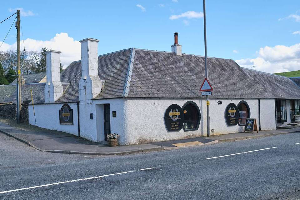
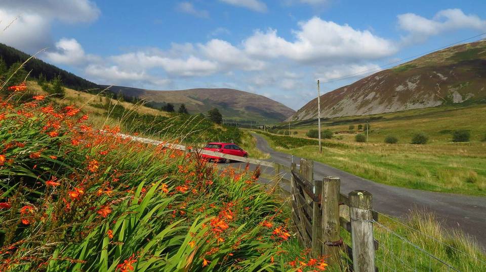
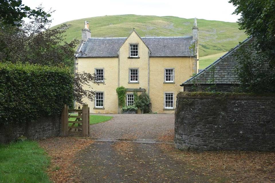
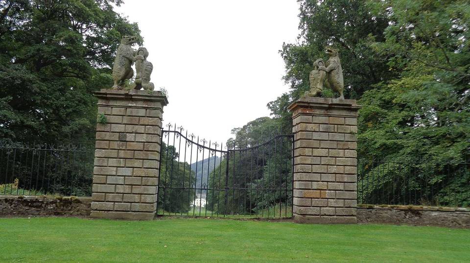
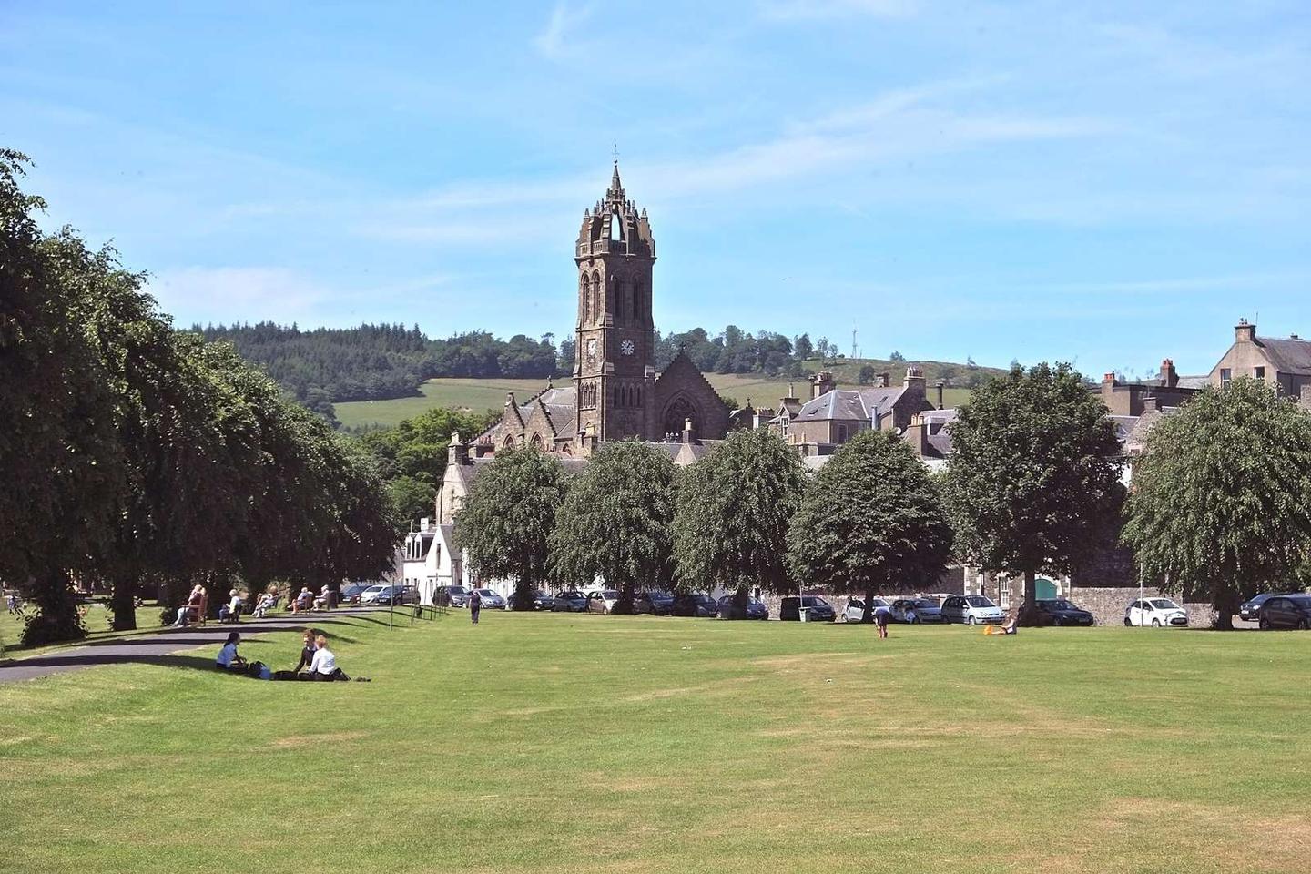
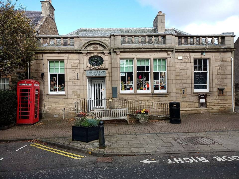
2 photographs from the road

Photo: Anthony O'Neil · CC BY-SA 2.0 · Wikimedia Commons · Photo: Richard Webb · CC BY-SA 2.0 · Wikimedia Commons · Photo: Jim Smillie · CC BY-SA 2.0 · Wikimedia Commons

Stage of

More rides from Peebles