Cyclists.com

Melrose to Peebles

Melrose, Scottish Borders, United KingdomGravel

Signed route The waymarked Capital Trail, traced from OpenStreetMap and measured against the terrain model; no member has recorded it yet. Stage 2 of 3 of the Capital Trail. Ridden it? Add your recording and photos.

58 km
Distance
1,325 m
Elevation gain
Hard
Difficulty
Mixed
Surface
Download GPXMap

Elevation profile

Total ascent
1,325 m
Distance
58 km
0200400600800m0 km204058 km646 m · highest, at 48.9 kmStartFinish

Route overview

Suitable for riders prepared for a long ride with significant climbing on mixed gravel and paved surfaces.

Stage 2 of 3 of the Capital Trail: 58.0 km from Melrose to Peebles with 1325 m of climbing, on the signed route.

This 58 km point-to-point cycle route starts in Melrose and finishes in Peebles, climbing 1325 metres overall. It begins near peaks such as Quarry Hill at 0.4 km. Early on, the route passes through several small settlements including Gattonside, Darnick, and Pavilion up to around 7.6 km at Upper Faldonside. From km 4.3, riders encounter the first climb lasting 3.8 km with an average gradient of 3.8%, reaching 241 m. Later climbs vary between 1 km to 9.1 km in length and can reach gradients up to 15% with a top elevation of 647 m at around 48 km from the start.

Highlights

  • Passes beneath peaks such as Stock Law and Stake Law
  • Longest climb 9.1 km with 468 m gain
  • Largest elevation 647 m at 47.9 km
  • Maximum gradient 15% at 45.9 km

Along the route

Measured from the recorded track and OpenStreetMap.

Places passed

  1. Darnick 2.1 km
  2. Pavilion 2.8 km
  3. Bridgend 3.5 km
  4. Tweedbank 4.3 km
  5. Bauchlin Cottages 5.9 km
  6. Upper Faldonside 7.6 km
  7. Lindean 13 km
  8. Lindean Hall 13.3 km
  9. Lindean Smithy 13.4 km
  10. Lindean Mill 13.9 km
  11. Sunderland Hall 14.3 km
  12. Traquair 37 km
  13. Traquair Mill 37.2 km
  14. Kirkhouse 38.4 km

Climbs

ClimbStarts atLengthGainAverageMaxTop
4.3 km3.8 km144 m3.8 %8.5 %241 m
9 km1.5 km51 m3.5 %5.7 %281 m
13.6 km6.6 km336 m5.1 %11.3 %444 m
22 km2.9 km97 m3.4 %11.6 %513 m
26.8 km1 km41 m4.2 %6.7 %513 m
31.6 km1.1 km41 m3.8 %5.6 %426 m
38.8 km9.1 km468 m5.1 %15 %647 m

High point 647 m at 47.9 km; low point 86 m. Passes beneath Quarry Hill, Cauldshiels Hill, White Law.

What this ride is like

Measured from OpenStreetMap along the track and the elevation profile.

Roads
41% path · 36% track · 14% minor road · 4% quiet street
Main roads
2.3 km on main roads without a cycle lane — likely busier
Fast roads
3.8 km on roads with a limit of 80 km/h or more
Surface
24% paved · 71% gravel or unpaved
Gradient
40% climbing · 32% descending · 29% flat
Steep sections
10.8 km over 5% · 4.9 km over 8% · 1.9 km over 10% · steepest 500 m averages 13.4% at 45.9 km
Longest descent
5.3 km from 51.2 km, dropping 348 m

Along the way

Within a few hundred metres of the track, from OpenStreetMap. Opening hours change — treat this as where to look, not a promise.

Longest stretch without a café, shop or water: 32 km, from 5 km to 37 km.

Food, water and shops

  1. 0 kmToilets · 80 m off route
  2. 0 kmHardies Bikes · bike shop · 80 m off route
  3. 0.1 kmTwelve Triangles · bakery · on the route
  4. 0.2 kmCo-op Food · supermarket · 40 m off route
  5. 0.2 kmWater point · 140 m off route
  6. 0.2 kmWight Chiropractor Clinic · clinic · on the route
  7. 3.8 kmDS Dalgleish · petrol station · 220 m off route
  8. 5.2 kmOchiltree's · restaurant · on the route
  9. 5.2 kmToilets · on the route
  10. 36.9 kmDrinking water · on the route
  11. 56.6 kmThe Fat Batard · bakery · 120 m off route
  12. 56.6 kmKeyStore · convenience store · 220 m off route
  13. 56.6 kmTop Up Tap · drinking water · 60 m off route
  14. 56.6 kmToilets · 100 m off route
  15. 56.6 kmBspoke Cycles · bike shop · 270 m off route
  16. 56.6 kmrightmedicine Pharmacy · pharmacy · 170 m off route

Need to bail out?

  • 3.1 kmTweedbank (station), 380 m off route

Whether bikes are carried depends on the service — check before relying on it.

Worth a stop

  • 0 kmMercat Cross (monument)
  • 5.1 kmHome of Sir Walter Scott (attraction)
  • 20.1 kmThree Brethren (peak)
  • 24.9 kmBrown Knowe (peak, 523 m)
  • 41.2 kmGlen House (castle)
  • 47.8 kmBirkscairn Hill (peak, 661 m)

At the start

  • Twelve Triangles · bakery · 60 m
  • Jack's · café · 130 m
  • Apples For Jam · café · 30 m
  • Alexander Dalgetty & Sons · bakery · 100 m
  • Co-op Food · supermarket · 190 m

At the finish

  • The Fat Batard · bakery · 120 m
  • Costa · café · 200 m
  • The Milkman · café · 170 m
  • Mandarin Garden · restaurant · 80 m
  • County Inn · pub · 120 m

Stay after this ride

  • Tontine Hotel · hotel · 100 m from the finish
  • Park Hotel · hotel · 270 m from the finish
  • Dilkusha House · guest house · 270 m from the finish
  • Green Tree Hotel · hotel · 280 m from the finish
  • Neidpath Inn · hotel · 350 m from the finish

Practical information

Surface
Mixed
Route shape
Point to point
Riding time
4 h 50 min
Best months
Jun to Sep — daily highs of 16–19 °C in those months

Know before you go

  • 31.7 km longest stretch without café, shop or water from 5.2 to 36.9 km
  • 2.3 km on main roads without cycle lanes
  • 3.8 km on roads with 80 km/h or more speed limit
  • 71% of route on gravel or unpaved surfaces

Routes are for inspiration. Roads, surfaces and conditions change — check locally and ride within your limits.

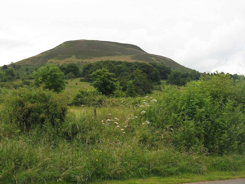
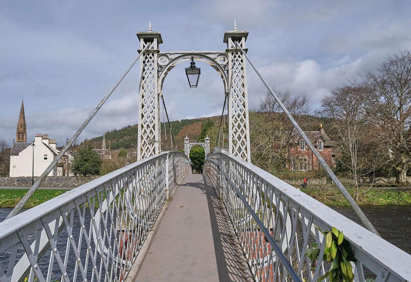
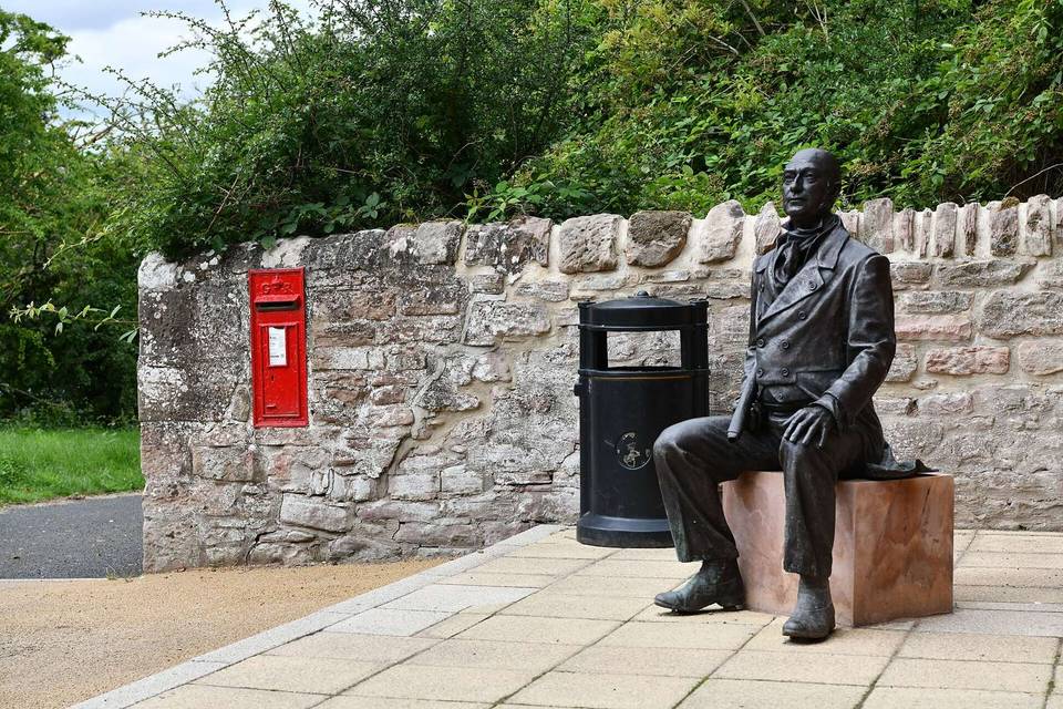
2 photographs from the road

Photo: Victuallers · CC BY-SA 4.0 · Wikimedia Commons · Photo: Anthony O'Neil · CC BY-SA 2.0 · Wikimedia Commons · Photo: Jim Barton · CC BY-SA 2.0 · Wikimedia Commons

Stage of

More rides from Melrose