Road · United Kingdom
A hilly 22 km road cycling loop from Gattonside, Scottish Borders through Newstead, Redpath and Halidean Mill, with 231 m of climbing.
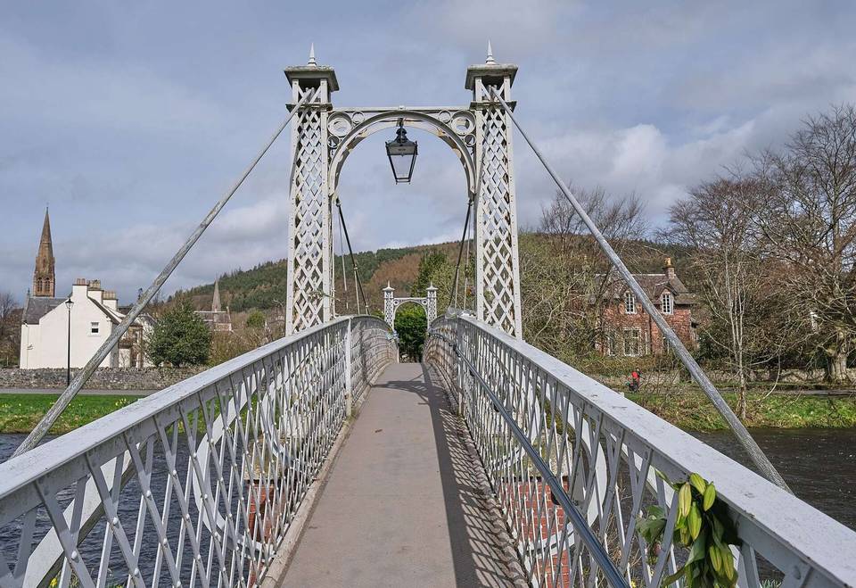
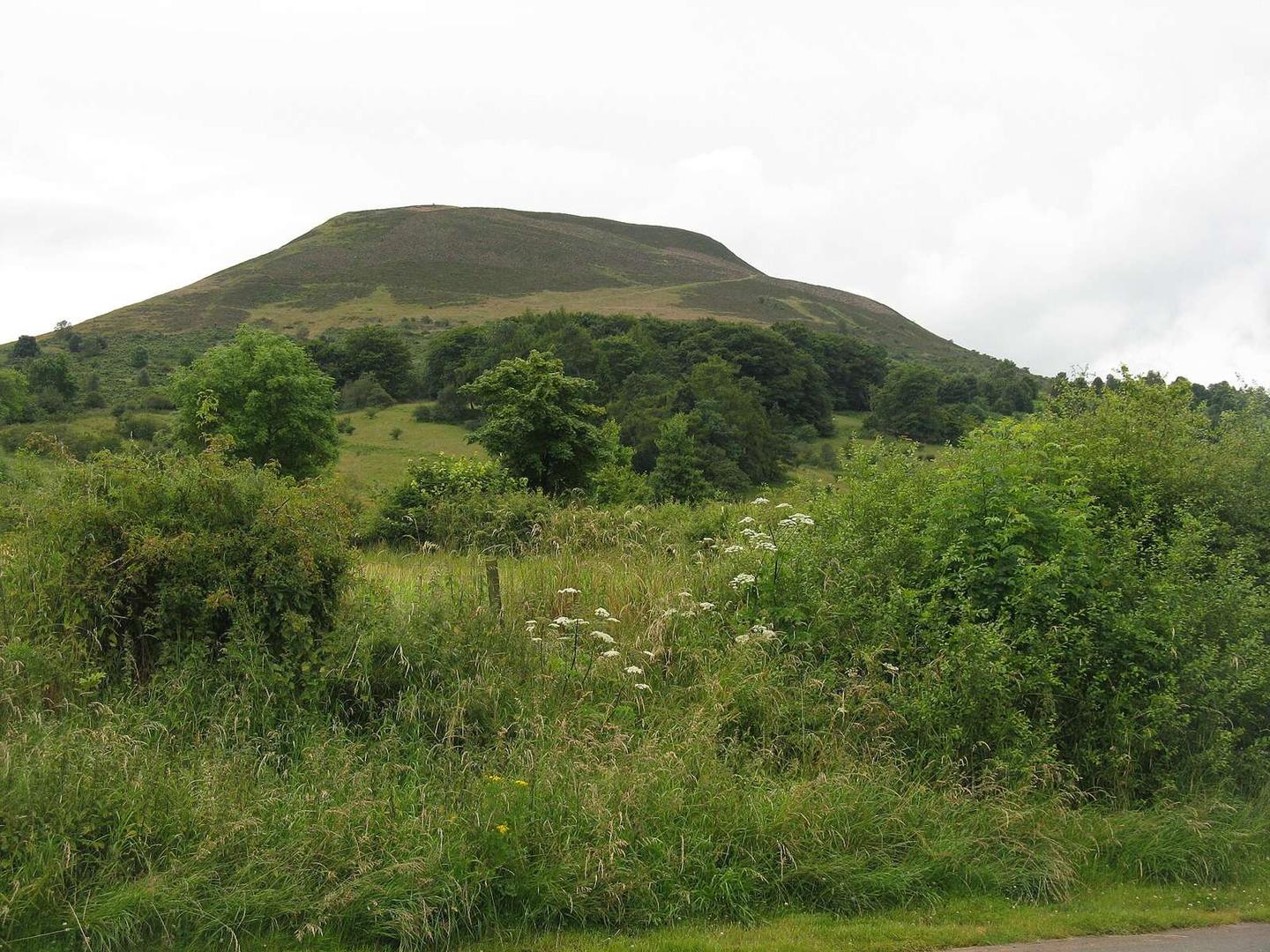
Starting in Melrose, the route heads briefly through Gattonside, Newstead, and Leaderfoot before rising on a 2.6 km climb gaining 82 m to 177 m near Bemersyde Hill. It continues past Bemersyde, Third, and Brotherstone, with another climb of 1.2 km gaining 47 m near Newtown St Boswells. The overall profile features 231 m of climbing with about 56% of elevation gain in the first half and a longest descent of 2.4 km. The route is mostly paved (98%), with some gravel (1%) and minor unmapped sections (1%).
| Climb | Starts at | On this ride | Top on this ride |
|---|---|---|---|
| Unnamed climb | 3.9 km | 2.6 km · 82 m · 3.1 % · max 6.8 % | 177 m |
| Unnamed climb | 18.3 km | 1.2 km · 47 m · 4.1 % · max 5.4 % | 158 m |
Expect stretches on main roads without a cycle lane (7.4 km in all) between quieter sections.
The longest stretch without a café, shop or water is 17 km, from the start. Along the route: 21 cafés and restaurants, 5 shops, 1 water point, 1 petrol station, 4 public toilets and 2 bike shops.