Cyclists.com

Traquair House

Peebles, Scottish Borders, United KingdomRoad

Signed route The waymarked Traquair House (Scottish Borders Council green), traced from OpenStreetMap and measured against the terrain model; no member has recorded it yet. Ridden it? Add your recording and photos.

11 km
Distance
71 m
Elevation gain
Easy
Difficulty
Paved
Surface
Download GPXMap

Elevation profile

Total ascent
71 m
Distance
11 km
050100150200250m0 km2.557.511 km193 m · highest, at 4.4 kmStartFinish

Route overview

Suitable for riders looking for a short, moderate ride with minor climbing on paved roads.

11km route from Peebles to Traquair in the Scottish Borders with 71m elevation gain on paved main roads.

Starting close to Peebles at 0.2 km, the route follows mostly the B7062 main road for 10.8 km, passing through Cardrona (6.6 km), Old Howford (8.7 km), and Innerleithen (10.2 km) before reaching Traquair at 11 km. The surface is fully paved, with 93% on main roads and 5% on roads with cycle lanes. Almost 9 km are on roads with speed limits of 80 km/h or more. The profile rises initially to 192 m at 4.4 km, then descends to 147 m around 9 km, with moderate climbing overall (71 m total). A steepest 500 m section has an 11.3% gradient near the start. The longest continuous descent is 1.5 km from 4.5 km. Facilities include cafés, pubs, shops, and water near Peebles at the start; after 3.5 km there is a longest stretch of 7.5 km without cafés, shops, or water. A bakery and a pub lie near the start, and the Garden Cafe is near the finish. Points of interest include the Cardrona Standing Stone archaeological site 52 m off-route at 6.1 km and the nearby peak Tor Hill at 269 m situated 2.5 km from the road. Toilet facilities are available at Peebles and also close to 5.1 km. A bike shop is 1.5 km from the start at Fall Line Cycles Ltd.

Highlights

  • Cardrona Standing Stone archaeological site
  • Tor Hill peak at 269 m near the route
  • Garden Cafe near Traquair finish
  • Peebles town facilities at start

Along the route

Measured from the recorded track and OpenStreetMap.

Places passed

  1. Cardrona 6.6 km
  2. Old Howford 8.7 km

What this ride is like

Measured from OpenStreetMap along the track and the elevation profile.

Roads
93% main road · 5% road with cycle lane
Main roads
10.2 km on main roads without a cycle lane — likely busier
Fast roads
8.8 km on roads with a limit of 80 km/h or more
Main roads used
B7062 (11 km)
Surface
Paved throughout
Gradient
24% climbing · 17% descending · 59% flat

Along the way

Within a few hundred metres of the track, from OpenStreetMap. Opening hours change — treat this as where to look, not a promise.

Food, water and shops

  1. 0 kmToilets · 30 m off route
  2. 0.1 kmThe Fat Batard · bakery · 250 m off route
  3. 0.1 kmTop Up Tap · drinking water · 180 m off route
  4. 0.1 kmrightmedicine Pharmacy · pharmacy · 300 m off route
  5. 0.2 kmKeyStore · convenience store · 340 m off route
  6. 1.5 kmFall Line Cycles Ltd · bike shop · 40 m off route
  7. 5.1 kmToilets · 90 m off route
  8. 11 kmGarden Cafe · café · 370 m off route

Worth a stop

  • 6.1 kmCardrona Standing Stone (archaeological site)

At the start

  • The Fat Batard · bakery · 270 m
  • The Bridge Inn · pub · 210 m
  • Top Up Tap · drinking water · 210 m
  • Costa · café · 350 m
  • The Milkman · café · 320 m

At the finish

  • Garden Cafe · café · 370 m

Stay after this ride

  • Traquair House · guest house · 570 m from the finish
  • Traquair Arms Hotel · hotel · 1.4 km from the finish
  • Cleikum Mill Lodge · apartment · 1.5 km from the finish
  • Glede Knowe Guest House · guest house · 1.7 km from the finish
  • Studio @ Pirn Haugh · apartment · 1.6 km from the finish

Practical information

Surface
Paved
Route shape
Point to point
Riding time
47 min
Best months
Jun to Aug — daily highs of 17–18 °C in those months

Know before you go

  • 7.5 km without café, shop or water from 3.5 km to 11 km
  • 10.2 km on main roads without cycle lane
  • 8.8 km on roads with speed limits of 80 km/h or more
  • Steepest 500 m section at 11.3% gradient near start

Routes are for inspiration. Roads, surfaces and conditions change — check locally and ride within your limits.

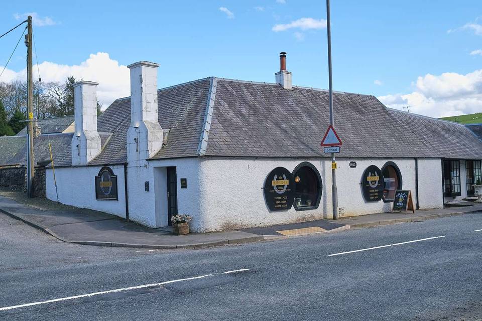
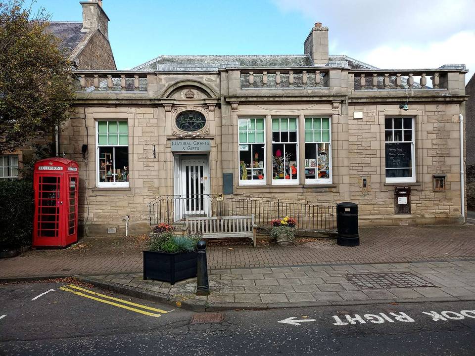
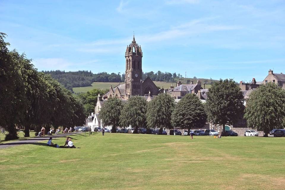
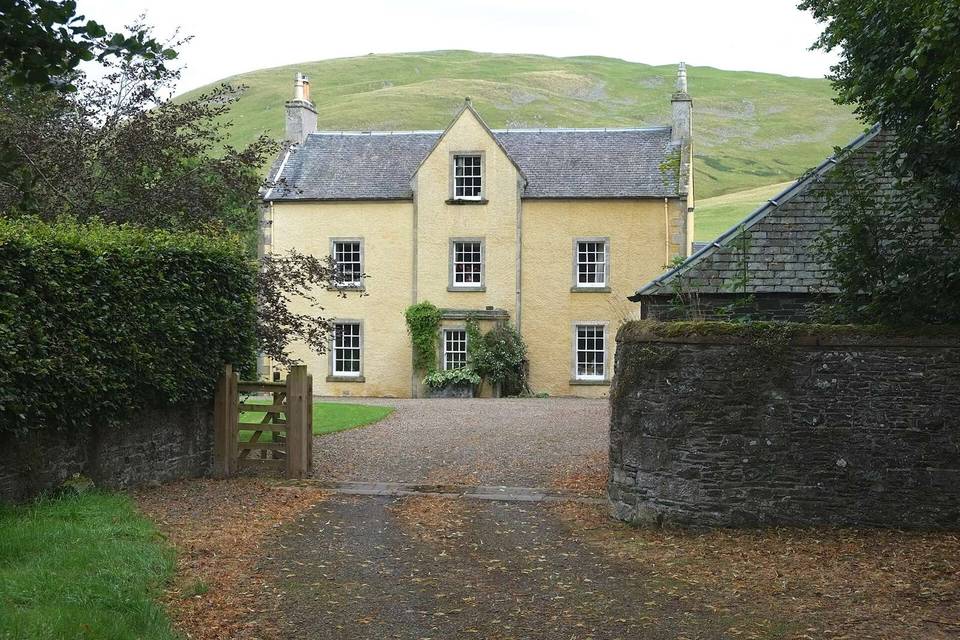
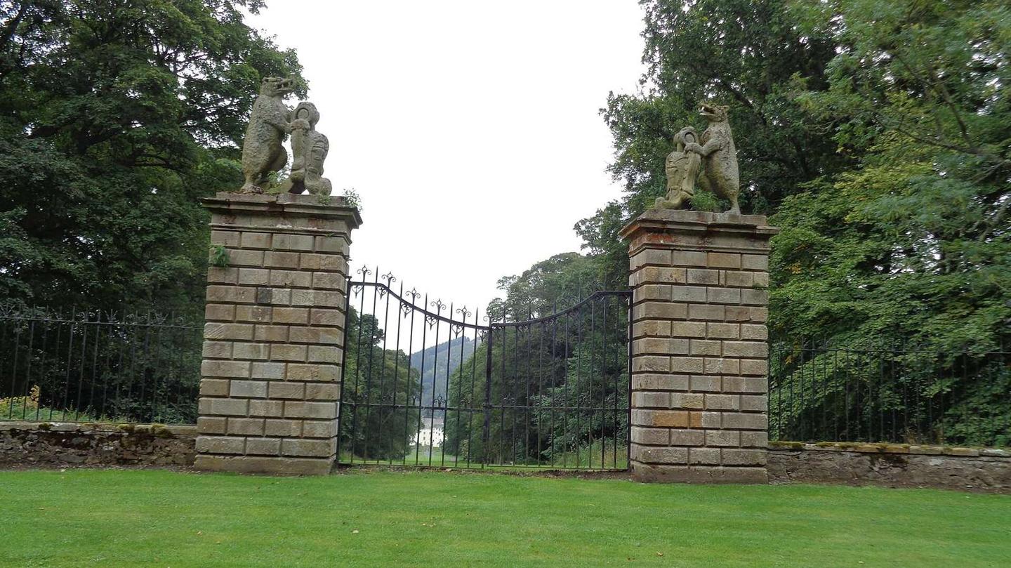
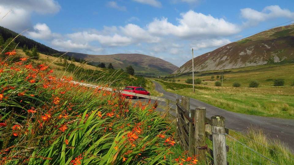
2 photographs from the road

Photo: Kevin Waterhouse · CC BY-SA 2.0 · Wikimedia Commons · Photo: Richard Webb · CC BY-SA 2.0 · Wikimedia Commons · Photo: Anthony O'Neil · CC BY-SA 2.0 · Wikimedia Commons

More rides from Peebles