Road · United Kingdom
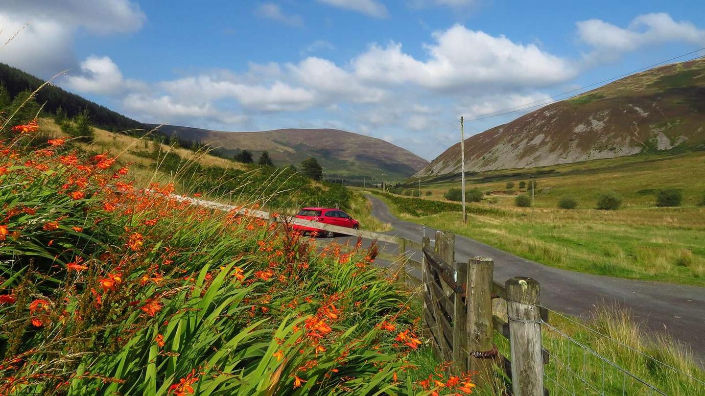
A hilly 17 km road cycling route from Peebles, Scottish Borders through Kirkton and Castlehill, with 234 m of climbing.
The route starts near Peebles and passes through Kirkton at 6.2 km and Castlehill at 9.3 km before finishing at Peebles at 16.7 km. The road is mostly paved (98%) and mainly minor roads (85%), with 14% on quiet streets. There is a short 1.7 km section on a fast road with a speed limit of 80 km/h or more.
Climbing begins shortly after 1.5 km from the start at the low point of 163 m. The first climb is 1.8 km long starting at 1.6 km, rising 80 m at an average gradient of 4.6%, reaching 245 m elevation. The highest point of the ride is at 16.7 km at 323 m, reached after a 2.3 km climb from 14.4 km averaging 2.3% gradient. The route also has descending sections totalling 16% of the way and some steep sections with the steepest 500 m at 10.9%.
Facilities are concentrated near the start around Peebles including a bakery, convenience store, drinking water, toilets, and a bike shop all within about half a kilometre off route. After 1.3 km there are no cafés, shops or water for 15.4 km. Peaks near the route include Hunt Hill at 327 m near 6.9 km and Wood Hill at 340 m near 11.8 km.
| Climb | Starts at | On this ride | Top on this ride |
|---|---|---|---|
| Unnamed climb | 1.6 km | 1.8 km · 80 m · 4.6 % · max 6.8 % | 245 m |
| Unnamed climb | 14.4 km | 2.3 km · 52 m · 2.3 % · max 3 % | 323 m |
Mostly minor roads and streets on the map.
The longest stretch without a café, shop or water is 15 km, from km 1 to 17. Along the route: 19 cafés and restaurants, 3 shops, 1 water point, 2 public toilets and 2 bike shops.