Road · United Kingdom
A hilly 39 km road cycling loop from Lintlaw, Scottish Borders through Grantshouse, Quixwood and Abbey St Bathans, with 450 m of climbing. The first 20 km has no café, shop or water.
The Duns Red Route is a 38.7 km loop starting near Lintlaw and passing through Grantshouse, Butterdean, Quixwood, Whiteburn, and Abbey St Bathans before reaching Edrom again. The first half includes 67% of the climbing, with the highest point at 245 m reached around km 3.9. The ride has four main climbs: the longest is 2.6 km from km 1.2 with an average gradient of 5.6%, and the steepest 500 m section reaches 7.6% around km 11.9.
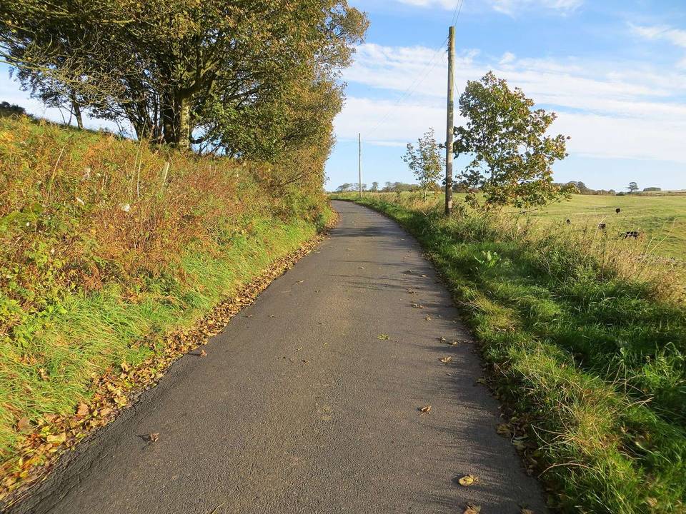
The route mainly follows minor roads (79%) but includes 7.3 km on main roads, all without cycle lanes and posted at speeds of 80 km/h or more, including a 3.4 km stretch on the B6365. Almost the entire route (99%) is paved, with just 1% gravel or unpaved. There is a long stretch of 20 km from the start with no café, shop, or water source, though The Woodlands Cafe is available off-route near km 20.
| Climb | Starts at | On this ride | Top on this ride |
|---|---|---|---|
| Unnamed climb | 1.2 km | 2.6 km · 148 m · 5.6 % · max 7.8 % | 245 m |
| Unnamed climb | 8.6 km | 1.7 km · 50 m · 3.1 % · max 4.3 % | 174 m |
| Unnamed climb | 11.5 km | 1.3 km · 67 m · 5 % · max 7.8 % | 226 m |
| Unnamed climb | 20 km | 3.4 km · 82 m · 2.4 % · max 4 % | 232 m |
Mostly minor roads and streets on the map; 7.3 km is on main roads without a cycle lane.
The longest stretch without a café, shop or water is 20 km, from the start. Along the route: 1 café or restaurant.