Cyclists.com

Duns Yellow Route

Duns, Scottish Borders, United KingdomRoad

Signed route The waymarked Duns Yellow Route (Scottish Borders Council), traced from OpenStreetMap and measured against the terrain model; no member has recorded it yet. Ridden it? Add your recording and photos.

28 km
Distance
130 m
Elevation gain
Easy
Difficulty
Paved
Surface
Download GPXMap

Elevation profile

Total ascent
130 m
Distance
28 km
050100150m0 km102028 km136 m · highest, at 26.9 kmStartFinish · back at the start

Route overview

Suitable for riders wanting a moderate 27.5 km loop with gentle climbing of 130 m.

27.5 km loop ride from Duns in the Scottish Borders with 130 m climbing.

The Duns Yellow Route is a 27.5 km loop starting and ending in Duns. The ride passes through places including Clockmill at 1.2 km, Gavinton at 3.6 km, Fogo at 6.8 km, Swinton at 17.6 km, and Sinclair's Hill at 22.5 km. It rides mostly on minor roads (23.6 km), with 2.3 km on main roads without cycle lanes and 0.7 km on roads with cycle lanes. The surface is nearly all paved (99%).

Highlights

  • Climb to 135 m near Sinclair's Hill
  • Passes Green Rig hill at 7.3 km
  • Passes Harcarse Hill at 15 km
  • Monument at Swinton (17.6 km)

Along the route

Measured from the recorded track and OpenStreetMap.

Places passed

  1. Langton Mill 2.2 km
  2. Gavinton 3.6 km
  3. Ladyflat 5.2 km
  4. Caldra 6.4 km
  5. Fogo 6.8 km
  6. Fogomoor 8.7 km
  7. Charterhall 9.1 km
  8. Whinkerstones 9.5 km
  9. Printonan 13.2 km
  10. Langbank 14.4 km
  11. Swinton Bridge End 16.4 km
  12. Swinton 17.6 km
  13. Greenriggs 19 km
  14. Greenknowe 21 km
  15. Middlestots 22 km
  16. Sinclair's Hill 22.5 km

Climbs

ClimbStarts atLengthGainAverageMaxTop
24.8 km1.9 km47 m2.5 %3.6 %135 m

High point 135 m at 26.7 km; low point 53 m. Passes beneath Green Rig, Harcarse Hill.

What this ride is like

Measured from OpenStreetMap along the track and the elevation profile.

Roads
86% minor road · 8% main road · 3% road with cycle lane
Main roads
2.3 km on main roads without a cycle lane — likely busier
Fast roads
5.9 km on roads with a limit of 80 km/h or more
Surface
Paved throughout
Gradient
15% climbing · 13% descending · 72% flat

Along the way

Within a few hundred metres of the track, from OpenStreetMap. Opening hours change — treat this as where to look, not a promise.

Longest stretch without a café, shop or water: 26 km, from 0 km to 27 km.

Food, water and shops

  1. 0 kmThe Co-operative Food · supermarket · 120 m off route
  2. 0.1 kmThe Plough · pub · 40 m off route
  3. 0.1 kmToilets · on the route
  4. 27.1 kmAitchisons · petrol station · on the route
  5. 27.3 kmHungry Spot · café · on the route
  6. 27.3 kmRepair stand · on the route
  7. 27.3 kmGeorge Romanes · pharmacy · on the route

Worth a stop

  • 17.6 kmMercat Cross (monument)
  • 27.3 kmMercat Cross (monument)

At the start and finish

  • Hungry Spot · café · 20 m
  • Border Baguettes · café · 30 m
  • Whip and Saddle · pub · 30 m
  • The Co-operative Food · supermarket · 130 m
  • The Plough · pub · 100 m

Practical information

Surface
Paved
Route shape
Loop
Riding time
1 h 58 min
Best months
Jun to Sep — daily highs of 15–18 °C in those months

Know before you go

  • Longest stretch without café or shop for 26.4 km from 0.1 to 26.5 km
  • 2.3 km on main roads with no cycle lanes
  • 5.9 km on fast roads 80 km/h or above

Routes are for inspiration. Roads, surfaces and conditions change — check locally and ride within your limits.

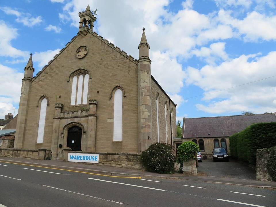
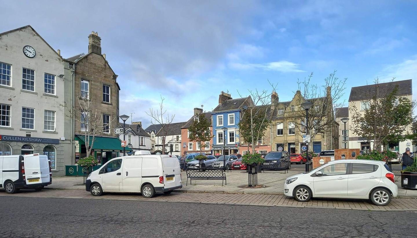
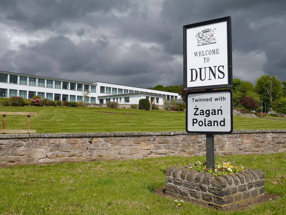
2 photographs from the road

Photo: Gordon Hatton · CC BY-SA 2.0 · Wikimedia Commons · Photo: WeeHolly · CC BY-SA 4.0 · Wikimedia Commons · Photo: Peter Wood · CC BY-SA 2.0 · Wikimedia Commons

More rides from Duns