Cyclists.com

Eyemouth Red Route

Ayton, Scottish Borders, United KingdomRoad

Signed route The waymarked Eyemouth Red Route (Scottish Borders Council), traced from OpenStreetMap and measured against the terrain model; no member has recorded it yet. Ridden it? Add your recording and photos.

23 km
Distance
299 m
Elevation gain
Easy
Difficulty
Paved
Surface
Download GPXMap

Elevation profile

Total ascent
299 m
Distance
23 km
050100150200250m0 km510152023 km193 m · highest, at 17.7 kmStartFinish · back at the start

Route overview

This ride suits cyclists looking for a moderate 23 km loop with 299 m of climbing.

Eyemouth Red Route is a 23 km loop from Ayton in the Scottish Borders with 299 m climbing.

The route starts in Ayton and passes through places including Prenderguest, Bastleridge, St Johns, and Foulden. The first climb starts immediately, lasting 2.2 km with 79 m of elevation gain at an average gradient of 3.7%, reaching 155 m height. The road surface is 97% paved and there are 18.8 km of minor roads, 2.3 km on main roads without cycle lanes, 1 km on paths, and 0.5 km on quiet streets. The second climb begins around 12.7 km and lasts for 5 km, gaining 146 m at 2.9% average gradient, with a maximum of 5.5%, topping out at 193 m at Campfield. The highest point on the route is at 17.8 km and the longest descent of 3.5 km follows from there. From km 10.5 onwards, there is a 12.1 km stretch with no café, shop, or water, although The Cross Inn pub is located just 19 m off route at km 10.5 in Paxton. Notable nearby features include Foulden Hill, Edrington Castle ruins near 11.7 km, and Lamberton Hill at 18.4 km.

Highlights

  • Foulden Hill peak near km 2.2
  • Edrington Castle ruins near km 11.7
  • Longest descent of 3.5 km from 17.9 km
  • Lamberton Hill peak near km 18.4

Along the route

Measured from the recorded track and OpenStreetMap.

Places passed

  1. St Johns 2.9 km
  2. Nunlands 4 km
  3. Bieldside 4.1 km
  4. Foulden 4.9 km
  5. Burnbank 5.9 km
  6. Foulden Bastle 6.4 km
  7. Foulden Newton 6.6 km
  8. Broadmeadows Home Farm 7.6 km
  9. Clarabad 8.3 km
  10. Paxton North Mains 9.6 km
  11. Paxton 10.5 km
  12. Cawderstanes 11.1 km
  13. Edrington Mill 11.5 km
  14. Edrington Castle Farm 11.7 km
  15. Low Cocklaw 12.3 km
  16. Edrington Mains 13.6 km
  17. Mordington Bridge 14.1 km
  18. Clappers 14.6 km
  19. Mordington Holdings 15.7 km
  20. Campfield 17.8 km
  21. Ayton Cocklaw 20.5 km

Climbs

ClimbStarts atLengthGainAverageMaxTop
0 km2.2 km79 m3.7 %5.3 %155 m
12.7 km5 km146 m2.9 %5.5 %193 m

High point 193 m at 17.8 km; low point 20 m. Passes beneath Foulden Hill, Deans Hill, Witches Knowe.

What this ride is like

Measured from OpenStreetMap along the track and the elevation profile.

Roads
83% minor road · 10% main road · 4% path · 2% quiet street
Main roads
2.3 km on main roads without a cycle lane — likely busier
Fast roads
6.2 km on roads with a limit of 80 km/h or more
Surface
Paved throughout
Gradient
34% climbing · 35% descending · 31% flat
Steep sections
0.9 km over 5% · steepest 500 m averages 8.9% at 0 km
Longest descent
3.5 km from 17.9 km, dropping 145 m

Along the way

Within a few hundred metres of the track, from OpenStreetMap. Opening hours change — treat this as where to look, not a promise.

Food, water and shops

  1. 10.5 kmThe Cross Inn · pub · on the route

Worth a stop

  • 2.2 kmFoulden Hill (peak)
  • 5.3 kmFoulden Jubilee Viewpoint (viewpoint)
  • 11.7 kmEdrington Castle (Ruins) (castle)
  • 14.9 kmMordington Old Church (ruins)
  • 18.4 kmLamberton Hill (peak, 217 m)

Practical information

Surface
Paved
Route shape
Loop
Riding time
1 h 37 min
Best months
Jun to Sep — daily highs of 16–18 °C in those months

Know before you go

  • No café, shop or water for 12.1 km from km 10.5
  • 2.3 km on main roads without cycle lane
  • 6.2 km on roads with 80 km/h+ speed limit

Routes are for inspiration. Roads, surfaces and conditions change — check locally and ride within your limits.

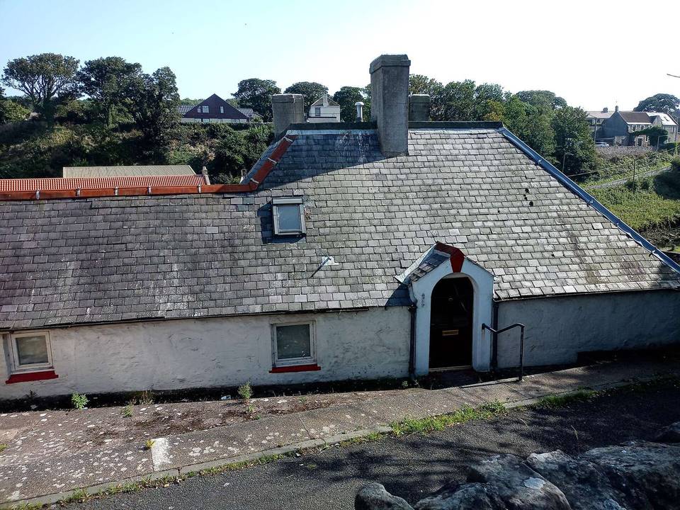
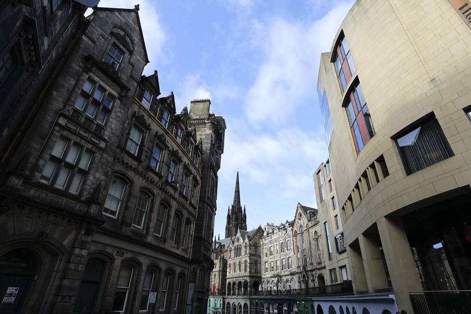
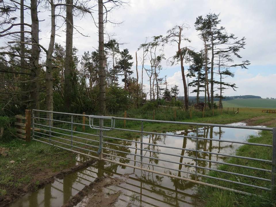
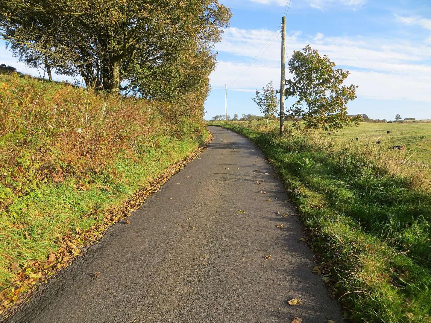
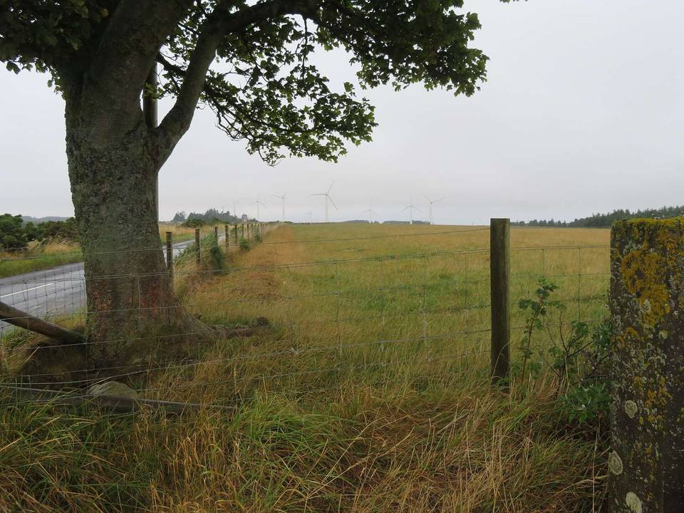
2 photographs from the road

Photo: Peter Wood · CC BY-SA 2.0 · Wikimedia Commons · Photo: M J Richardson · CC BY-SA 2.0 · Wikimedia Commons · Photo: Graham Robson · CC BY-SA 2.0 · Wikimedia Commons