
Cyclists.com

Eyemouth Yellow Route

Eyemouth, Scottish Borders, United KingdomRoad

Signed route The waymarked Eyemouth Yellow Route (Scottish Borders Council), traced from OpenStreetMap and measured against the terrain model; no member has recorded it yet. Ridden it? Add your recording and photos.

42 km
Distance
400 m
Elevation gain
Moderate
Difficulty
Paved
Surface
Download GPXMap

Elevation profile

Total ascent
400 m
Distance
42 km
050100150200250300m0 km10203042 km245 m · highest, at 24.6 kmStartFinish · back at the start

Route overview

Suitable for riders ready for a 42 km route with moderate climbing of 400 m.

42 km loop from Eyemouth in Scottish Borders with 400 m climbing on mostly paved roads.

The Eyemouth Yellow Route begins at Eyemouth and heads through Highlaws Farm and Alemill with a 2.1 km climb gaining 56 m at an average 2.7%, reaching 73 m. The route continues past Whitfield and Cairncross, then features a 2.9 km climb from 3.1 km gaining 50 m at 1.8% average gradient, rising to 126 m. After Press Castle and North Grange, a 1.4 km climb starts at 9.1 km with 40 m gain at 2.9%, peaking at 179 m. The ride passes Hawthorn Dean, Howpark, and Renton Barns before the longest climb of 2.7 km from 19.7 km climbs 82 m at 3.1%, max 4.8%, reaching 203 m. The route reaches its highest point of 245 m around 24.5 km near Meikle Black Law. The final section descends to 12 m at 41.8 km, passing Ayton and Reston before returning to Eyemouth. Nearly all the 42 km is paved, mostly on minor roads (54%) and main roads (41%). Main roads without cycle lanes total 17.3 km, with 15.3 km on roads posted 80 km/h or higher. The longest stretch without a café, shop, or water is 18.1 km from 0.7 km to 18.8 km. Food and drink options are at Eyemouth, Cedar Cafe at 18.8 km, The Craw Inn at 28.9 km, and Hemelvaart Bier Cafe at 37.8 km. A railway station and bailout point is at Reston (32.3 km). Toilets are available at the start and near Cedar Cafe.

Highlights

  • Press Castle at 9.1 km
  • Highest point near Meikle Black Law at 245 m
  • Long climb from 19.7 to 22.4 km
  • Eyemouth start and finish with bakery and café

Along the route

Measured from the recorded track and OpenStreetMap.

Places passed

  1. Alemill 3.2 km
  2. Whitfield 5 km
  3. Cairncross 6.3 km
  4. Blackhill 6.5 km
  5. Press Castle 8.9 km
  6. North Grange 9.5 km
  7. Hawthorn Dean 11.4 km
  8. Howpark 17.6 km
  9. Renton Barns 18 km
  10. Harelawside 19 km
  11. Grantshouse 19.5 km
  12. Mayfield 27 km
  13. Greenburn 27.7 km
  14. Auchencrow 28.8 km
  15. Waulkmill 31.5 km
  16. Reston 32.4 km
  17. Horn Burn 36.1 km
  18. Bleachfield 37.4 km
  19. Ayton 37.8 km
  20. Ayton Mains 39.4 km

Climbs

ClimbStarts atLengthGainAverageMaxTop
0 km2.1 km56 m2.7 %3.6 %73 m
3.1 km2.9 km50 m1.8 %2.2 %126 m
9.1 km1.4 km40 m2.9 %3.6 %179 m
19.7 km2.7 km82 m3.1 %4.8 %203 m

High point 245 m at 24.5 km; low point 12 m. Passes beneath Greenlaw Knowe, Laverock Law, Meikle Black Law.

What this ride is like

Measured from OpenStreetMap along the track and the elevation profile.

Roads
54% minor road · 41% main road · 3% quiet street
Main roads
17.3 km on main roads without a cycle lane — likely busier
Fast roads
15.3 km on roads with a limit of 80 km/h or more
Main roads used
B6438 (7 km), A1107 (4 km), Howpark Road (4 km), B6355 (4 km)
Surface
Paved throughout
Gradient
28% climbing · 23% descending · 49% flat
Longest descent
2.7 km from 16.2 km, dropping 115 m

Along the way

Within a few hundred metres of the track, from OpenStreetMap. Opening hours change — treat this as where to look, not a promise.

Longest stretch without a café, shop or water: 18 km, from 1 km to 19 km.

Food, water and shops

  1. 0 kmToilets · 100 m off route
  2. 0.1 kmLough's Home Bakery · bakery · 310 m off route
  3. 0.1 kmEyemouth Day Hospital · hospital · 140 m off route
  4. 0.6 kmEsso · petrol station · 150 m off route
  5. 0.7 kmSpar · convenience store · 150 m off route
  6. 18.8 kmCedar Cafe · café · on the route
  7. 18.8 kmToilets · 40 m off route
  8. 28.8 kmRepair stand · 330 m off route
  9. 28.9 kmThe Craw Inn · pub · 330 m off route
  10. 37.8 kmHemelvaart Bier Cafe · bar · 100 m off route
  11. 37.8 kmAyton Village Store · convenience store · 80 m off route

Need to bail out?

  • 32.3 kmReston (station), 260 m off route

Whether bikes are carried depends on the service — check before relying on it.

Worth a stop

  • 9.1 kmPress Castle (castle)

At the start and finish

  • Lough's Home Bakery · bakery · 320 m
  • Rialto · café · 330 m
  • Giacopazzi's · ice cream · 260 m
  • Giacopazzi’s · restaurant · 270 m
  • Co-op Food · supermarket · 360 m

Practical information

Surface
Paved
Route shape
Loop
Riding time
3 h 00 min
Best months
Jun to Sep — daily highs of 16–18 °C in those months

Know before you go

  • Longest stretch without café, shop or water: 18.1 km
  • 17.3 km on main roads without cycle lanes
  • 15.3 km on roads 80 km/h or more

Routes are for inspiration. Roads, surfaces and conditions change — check locally and ride within your limits.

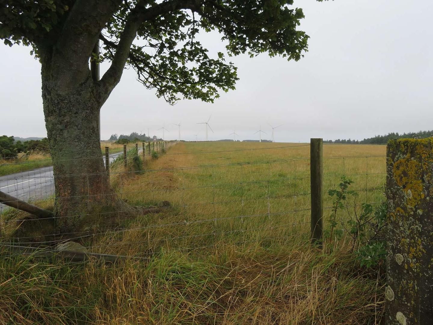
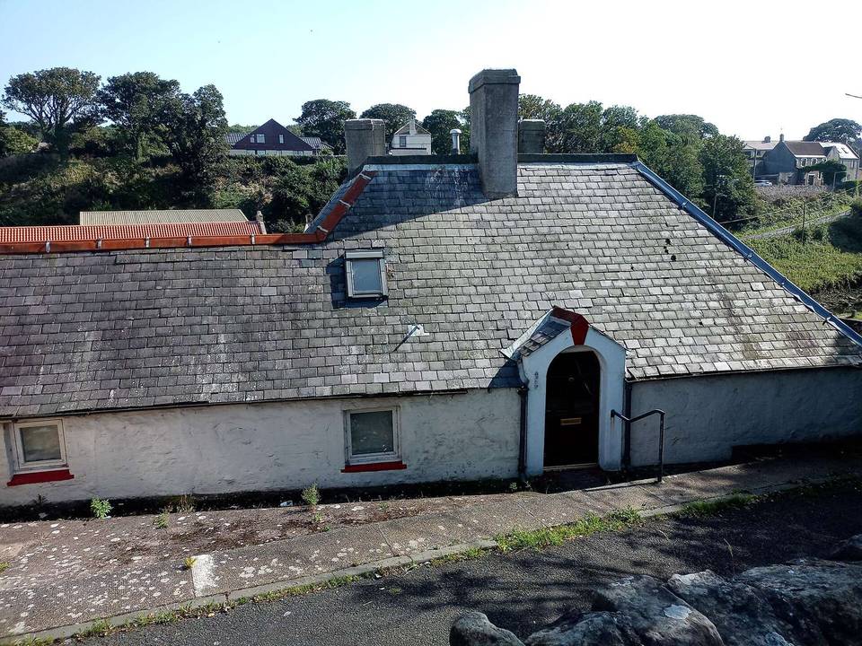
2 photographs from the road

Photo: M J Richardson · CC BY-SA 2.0 · Wikimedia Commons · Photo: Lewis Clarke · CC BY-SA 2.0 · Wikimedia Commons · Photo: Peter Wood · CC BY-SA 2.0 · Wikimedia Commons

More rides from Eyemouth