
Cycling in Linton
1 cycling route from Linton, Scottish Borders, United Kingdom, 16 km, 16 km mapped in all, with up to 115 m of climbing in a day. Rolling riding (7 m of climbing per km on average), mostly road routes, 52% of the riding on main roads without a cycle lane. Best months to ride: Jun to Sep.
At a glance
- Routes
- 1
- Lengths
- 16 km
- Biggest day
- 115 m
- Terrain
- Rolling
- Surface
- Mostly paved
- Bike
- Road bike
- Difficulty
- Easy
- Best months
- Jun to Sep
- GPX
- Every route
Know before you go
Added up from the recorded routes and OpenStreetMap; nothing estimated.
- Surface
- Paved almost throughout.
- Roads
- 52% of the riding on main roads without a cycle lane.
Cycling guide to Linton
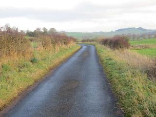
Linton, located in the Scottish Borders, serves as a start point for the Kelso Red Route, a 15.9 km loop passing through numerous small places such as Burnfoot, Linton Mill, Linton Downs, and Kirk Yetholm. The route covers mainly paved roads with a small unpaved section and includes an elevation gain of 115 m. Riders can experience a moderate climb beginning shortly after the start, rising 64 m over 1.8 km, reaching a height of 169 m. The route has no cycle paths and includes 8.3 km on main roads without cycle lanes. It offers rural riding without nearby railway stations or intermediate services for over 10 km.
More on terrain
Terrain
The terrain includes a moderate climb starting at 1.9 km, ascending 64 m at an average gradient of 3.6%, with a maximum gradient of 4.9%, reaching the highest point of the route at 172 m. The majority of the 15.9 km route is gently rolling with mostly paved roads and small gravel sections.