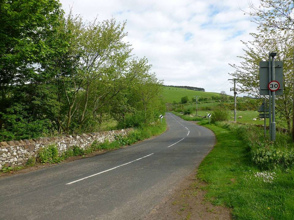
Road · United Kingdom
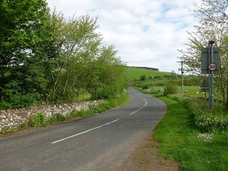
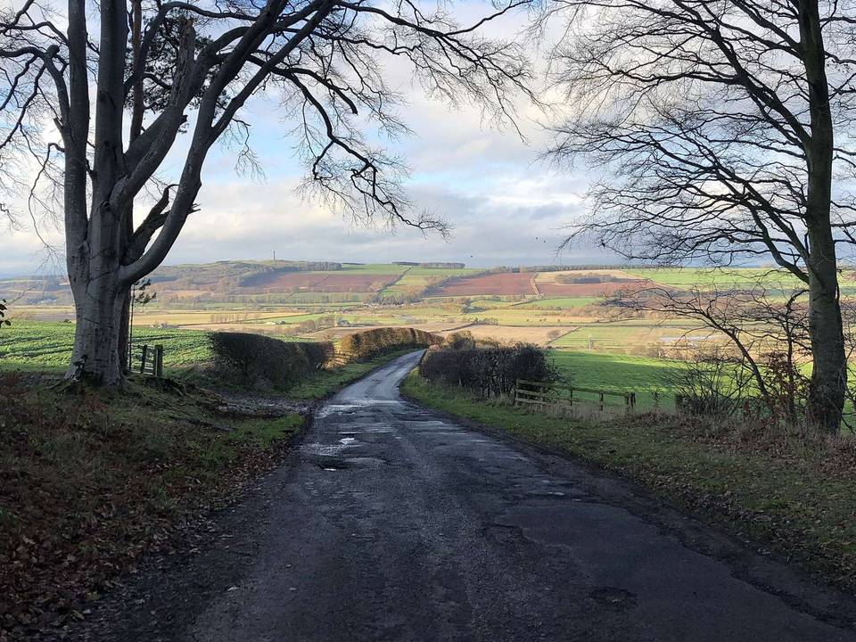
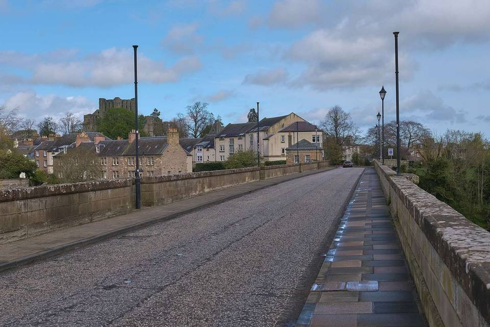
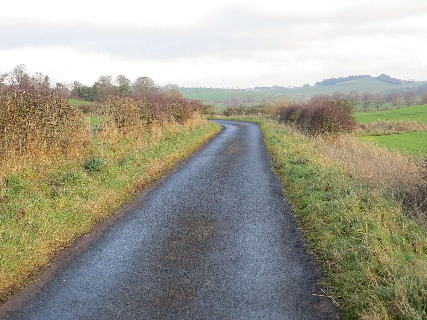
A rolling 16 km road cycling loop from Burnfoot, Scottish Borders through Linton, Linton Downs and Bankhead, with 115 m of climbing. Most of it (8.3 km) is on main roads without a cycle lane, 9.7 km where the limit is 80 km/h or more.
This 15.9 km loop starts and finishes at Linton, passing Burnfoot early at 0.2 km, then Linton Mill and Linton itself before heading through Linton Downs and Bankhead. The main climb begins at 1.9 km, lasting 1.8 km with a gain of 64 m at an average gradient of 3.6%, reaching a top height of 169 m. The highest point on the route is at 4.9 km at 172 m.
The surface is mostly paved (97%) with a short 3% track section. The ride uses a mixture of main roads (52%) and minor roads (45%), with 8.3 km on main roads all without cycle lanes. Also, 9.7 km are on roads with speed limits of 80 km/h or more. The longest named road is the B6401 which is used for 5 km.
There is a long 10.3 km stretch without a café, shop, or water from the start. At 10.3 km near Town Yetholm and Kirk Yetholm, there is a pub (The Plough Hotel) and a convenience store (Yetholm Village Shop), along with public toilets close by. The route passes near hills including Thirlestane Hill at 7.8 km, Yetholm Law at 11.6 km, and Highside at 13.9 km. Two archaeological sites lie nearby at 0.9 and 7.6 km.
| Climb | Starts at | On this ride | Top on this ride |
|---|---|---|---|
| Unnamed climb | 1.9 km | 1.8 km · 64 m · 3.6 % · max 4.9 % | 169 m |
This is not a cycle-track route: 52% is on main roads without a cycle lane, 9.7 km of it where the limit is 80 km/h or more. Riders should be comfortable sharing the road with faster traffic.
No stretch is longer than 15 km without a café, shop or water. Along the route: 2 cafés and restaurants, 1 shop and 1 public toilet.