
Road · United Kingdom
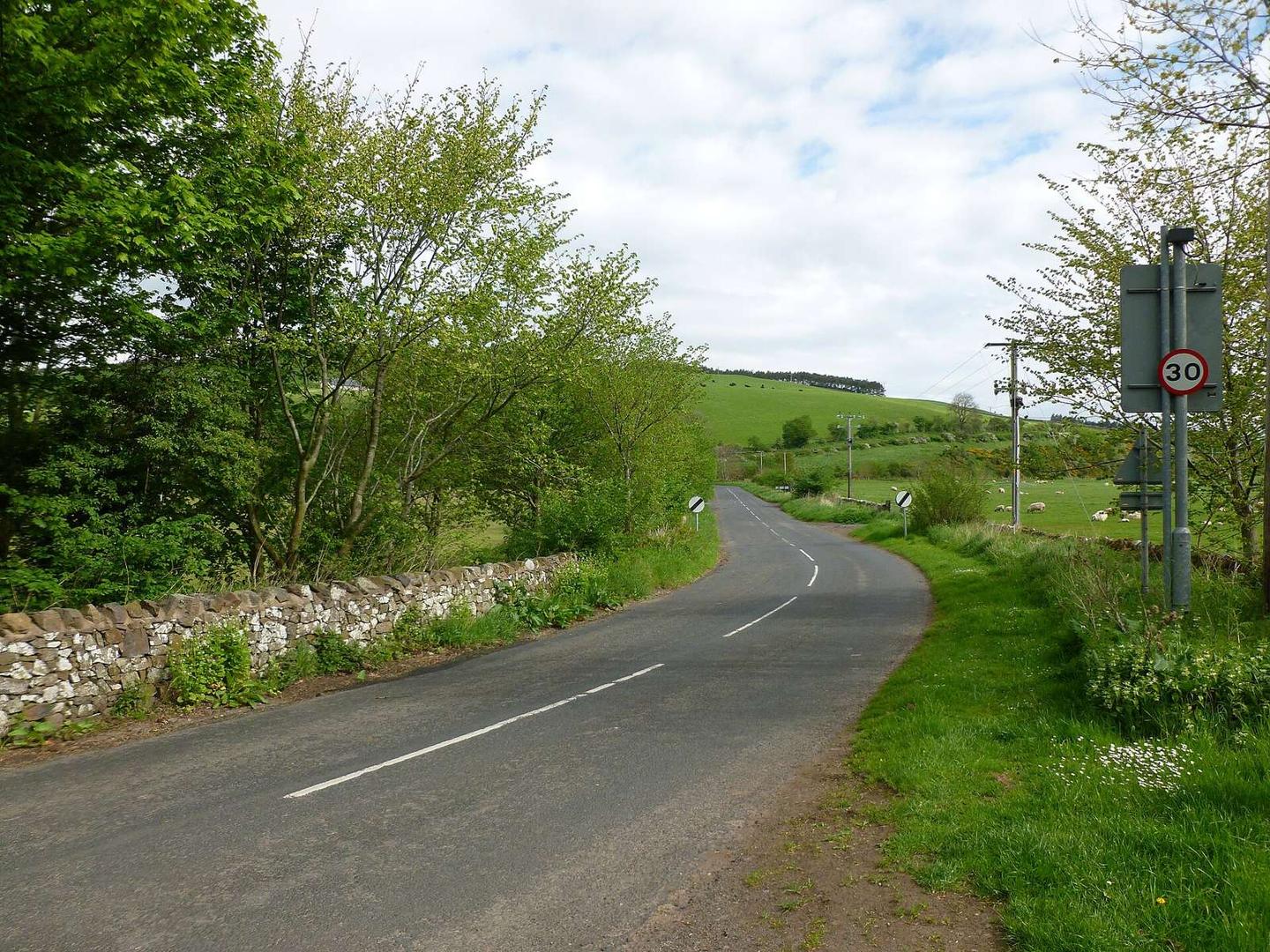
A hilly 8 km road cycling route from Kirk Yetholm, Scottish Borders through Duncanshaugh, Primsidemill and Woodside, with 69 m of climbing.
The route starts near Kirk Yetholm and Town Yetholm at 115 m elevation and finishes at Mowhaugh at 172 m. The ride covers 8.1 km with 69 m of climbing, spread almost evenly with 47% of the gain in the first half.
Most of the route is on paved surfaces (96%) with a minor 4% on gravel or unpaved tracks. It mainly travels along minor roads (6 km, 74%) with 1.7 km on main roads that have no cycle lane, and 1.1 km on roads with speed limits of 80 km/h or higher. The gradient is mostly flat (80%) with a short section over 5% gradient for 0.1 km near the start.
Places passed from start to finish include Duncanshaugh (1.1 km), Primsidemill (1.9 km), Woodside (3.6 km), Belford (7.7 km), and Mowhaugh (8 km). Facilities such as The Plough Hotel pub, Yetholm Village Shop convenience store, and toilets lie around 0.2 km near the start, but there is a longest stretch without cafes, shops, or water for 7.9 km thereafter. Nearby notable features include peaks like Yetholm Law and Wood Hill past the route and archaeological and ruined church sites close to the route at 2 km and 7.3 km respectively.
Expect stretches on main roads without a cycle lane (1.7 km in all) between quieter sections.
No stretch is longer than 15 km without a café, shop or water. Along the route: 2 cafés and restaurants, 1 shop and 1 public toilet.