
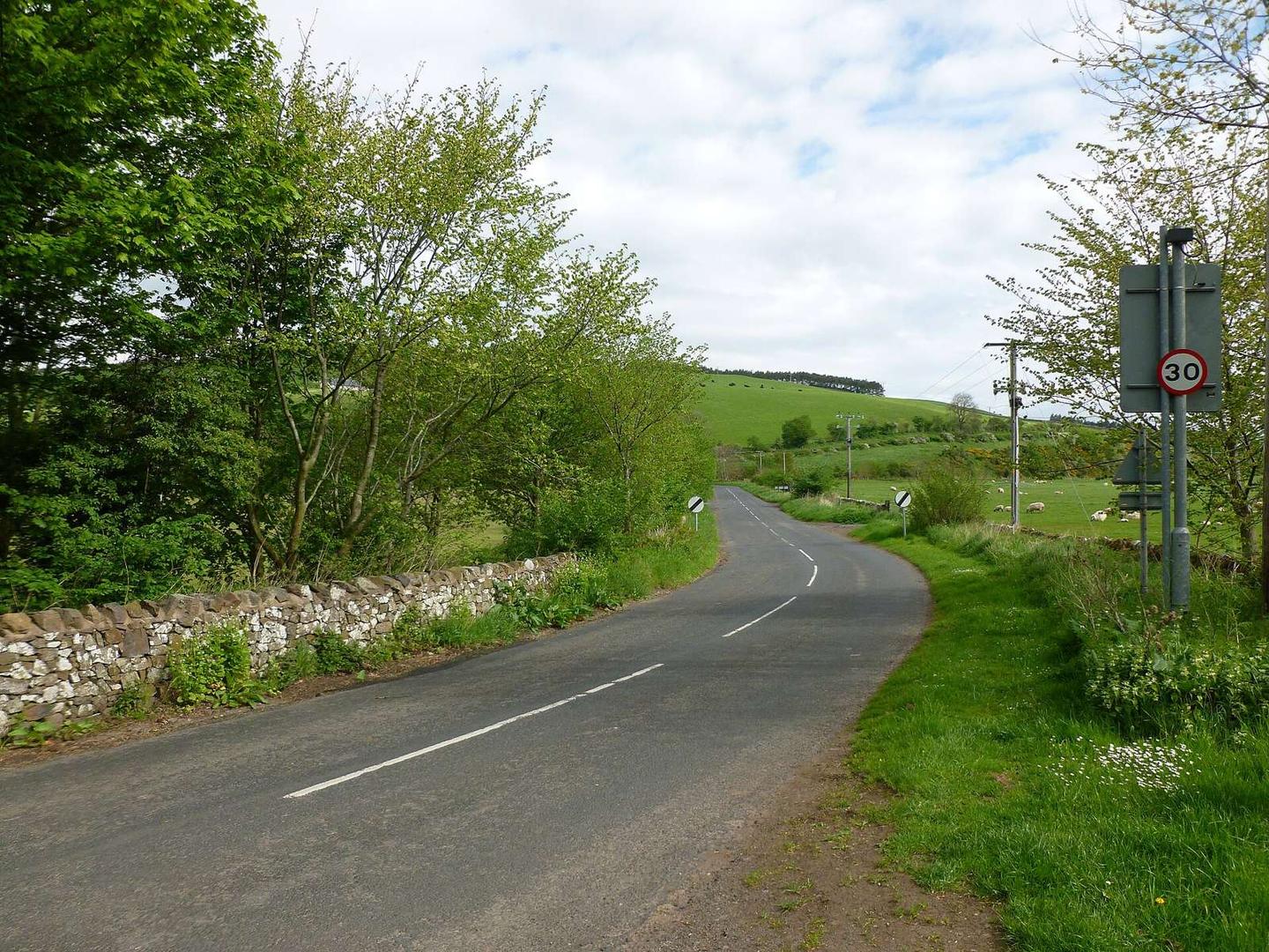
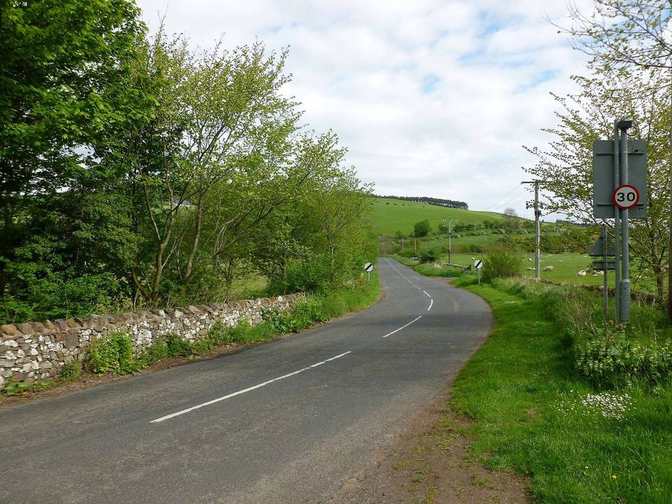
Road · United Kingdom
A rolling 9 km road cycling loop from Duncanshaugh, Scottish Borders through Primsidemill, Primside and Cherrytrees, with 67 m of climbing.
The Yetholm Blue Route is an 8.7 km loop beginning and finishing in Town Yetholm. It passes through Duncanshaugh at 0.6 km, Primsidemill at 1.4 km, Primside at 2.6 km, Cherrytrees at 6.7 km, and Kirk Yetholm at 8.1 km before returning to the start. The highest point of the route is 133 m at 4.5 km, with the lowest at 102 m near 7.9 km. The route has 67 m of climbing, mostly in the first half, and features a mix of flat, climbing, and descending sections including short steep parts reaching up to 7.7% gradient.
Expect stretches on main roads without a cycle lane (3.3 km in all) between quieter sections.
No stretch is longer than 15 km without a café, shop or water. Along the route: 2 cafés and restaurants, 1 shop, 1 water point and 1 public toilet.