
Cyclists.com

Kelso Yellow Route

Kelso, Scottish Borders, United KingdomRoad

Signed route The waymarked Kelso Yellow Route (Scottish Borders Council), traced from OpenStreetMap and measured against the terrain model; no member has recorded it yet. Ridden it? Add your recording and photos.

36 km
Distance
281 m
Elevation gain
Easy
Difficulty
Paved
Surface
Download GPXMap

Elevation profile

Total ascent
281 m
Distance
36 km
050100150200m0 km10203036 km158 m · highest, at 28.2 kmStartFinish · back at the start

Route overview

Suitable for cyclists ready for a moderate 36 km ride with 280 m climbing on mixed road types.

35.8 km loop from Kelso in Scottish Borders with 281 m climbing on mostly minor roads.

Starting from Kelso, the route heads out through Roxburgh Barns, Kersmains, and Roxburgh before reaching Pirnie and Fairnington. After Woodside and Nisbetmill, it continues past Nisbet and East Nisbet. The route includes one significant climb of 2.7 km beginning near Eckford Mill and rising 99 m with an average gradient of 3.7%, peaking around km 28.2 near Graham's Law at 158 m height. The route is 97% paved with a small 3% gravel or unpaved section, covering 25.7 km on minor roads, 7.7 km on main roads (all without cycle lanes), 0.7 km on track, and 0.6 km on cycle path. The profile is gently rolling with 24% climbing, 22% descending and 55% flat. Longest descent of 3.6 km starts around km 32.1 dropping 103 m. The route passes archaeological sites such as Roxburgh Train Station and Ormiston Castle nearby. Kelso provides multiple facilities at the start and finish including several cafés, bakeries, supermarkets, a bakery and a bike shop. There is a very long stretch of 34.7 km without cafés, shops or water, so riders should prepare accordingly.

Highlights

  • Kelso start and finish with cafés and shops
  • 2.7 km climb near Eckford Mill
  • Near Peniel Heugh 235 m and Graham's Law 176 m
  • Archaeological sites at Roxburgh and Ormiston Castle

Along the route

Measured from the recorded track and OpenStreetMap.

Places passed

  1. Roxburgh Barns 3.7 km
  2. Kersmains 4.4 km
  3. Over Roxburgh 5.4 km
  4. Roxburgh 5.7 km
  5. Pirnie 11.6 km
  6. Pirnie House 11.6 km
  7. Fairnington 12.5 km
  8. Woodside 15.5 km
  9. Nisbetmill 16.9 km
  10. Nisbet 18.4 km
  11. East Nisbet 18.8 km
  12. Old Ormiston 22.5 km
  13. Kirkbank 24 km
  14. Eckford Mill 25 km
  15. Grahamslaw 26 km
  16. Bowmont Forest Sawmill 27.3 km
  17. Middle Softlaw 29.9 km
  18. Easter Softlaw 32.1 km

Climbs

ClimbStarts atLengthGainAverageMaxTop
24.9 km2.7 km99 m3.7 %4.9 %156 m

High point 158 m at 28.2 km; low point 31 m. Passes beneath Down Law, Peniel Heugh, Graham's Law.

What this ride is like

Measured from OpenStreetMap along the track and the elevation profile.

Roads
72% minor road · 22% main road · 2% track · 2% cycle path
Main roads
7.7 km on main roads without a cycle lane — likely busier
Fast roads
18.8 km on roads with a limit of 80 km/h or more
Surface
Paved throughout
Gradient
24% climbing · 22% descending · 55% flat
Longest descent
3.6 km from 32.1 km, dropping 103 m

Along the way

Within a few hundred metres of the track, from OpenStreetMap. Opening hours change — treat this as where to look, not a promise.

Longest stretch without a café, shop or water: 35 km, from 0 km to 35 km.

Food, water and shops

  1. 0 kmMaxwell Motors · petrol station · 300 m off route
  2. 0.1 kmSimon Porteous Cycles · bike shop · 260 m off route
  3. 0.3 kmSeasons · café · 250 m off route
  4. 0.3 kmCo-op Food · supermarket · 250 m off route
  5. 0.3 kmBoots · pharmacy · 250 m off route
  6. 35 kmThe Topiary Restarant · café · 360 m off route
  7. 35.7 kmLidl · supermarket · 240 m off route

Worth a stop

  • 0.3 kmJunction Pool Viewpoint (viewpoint)
  • 5.8 kmRoxburgh Train Station (archaeological site)
  • 18.4 kmNisbet Church (ruins)
  • 22.8 kmOrmiston Castle (site of) (archaeological site)
  • 34 kmTumulus (archaeological site)

At the start and finish

  • Simon Porteous Cycles · bike shop · 310 m
  • Seasons · café · 430 m
  • Co-op Food · supermarket · 440 m
  • Granny Jean's Home Bakery · bakery · 430 m
  • The Dessert Diva · bakery · 400 m

Practical information

Surface
Paved
Route shape
Loop
Riding time
2 h 33 min
Best months
Jun to Sep — daily highs of 16–19 °C in those months

Know before you go

  • 7.7 km on main roads without cycle lanes
  • 18.8 km on roads with speed limits 80 km/h or more
  • 34.7 km longest stretch without café, shop or water

Routes are for inspiration. Roads, surfaces and conditions change — check locally and ride within your limits.

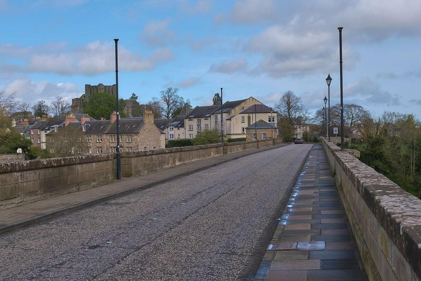
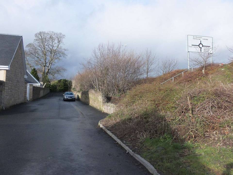
2 photographs from the road

Photo: Anthony O'Neil · CC BY-SA 2.0 · Wikimedia Commons · Photo: James T M Towill · CC BY-SA 2.0 · Wikimedia Commons · Photo: WeeHolly · CC BY-SA 4.0 · Wikimedia Commons

More rides from Kelso