Cyclists.com

Innerleithen Yellow Route

Innerleithen, Scottish Borders, United KingdomRoad

Signed route The waymarked Innerleithen Yellow Route (Scottish Borders Council), traced from OpenStreetMap and measured against the terrain model; no member has recorded it yet. Ridden it? Add your recording and photos.

61 km
Distance
533 m
Elevation gain
Moderate
Difficulty
Paved
Surface
Download GPXMap

Elevation profile

Total ascent
533 m
Distance
61 km
0100200300400m0 km204061 km376 m · highest, at 49.5 kmStartFinish · back at the start

Route overview

Suitable for riders comfortable with moderate climbs and mixed road types over 61 km distance.

61 km loop in Scottish Borders from Innerleithen with 533 m climbing.

The Innerleithen Yellow Route is a 61.3 km loop starting and finishing in Innerleithen, passing through Walkerburn, West Bold, Glenbenna, Peel, Caddonfoot, Clovenfords, Stow, Watherston, Fountainhall, and Heriot. The route includes three main climbs: first from 12.8 km gaining 98 m over 2.8 km, second from 17.1 km gaining 107 m over 3.4 km, and a smaller climb from 46.9 km with 58 m gain over 2.4 km, reaching a high point of 376 m at 49.3 km. The low point is 123 m at 12.8 km, with half of the climbing in the first half of the route. The longest descent is 6.9 km long, dropping 175 m starting at 49.7 km. Most of the route is on paved surfaces (98%), mostly on minor roads (55%) and main roads (38%), with 1.5 km on cycle paths and small amounts on quiet streets, tracks, and paths. The B709 is the longest named road ridden, covering 21.2 km. However, 23 km are on main roads without a cycle lane, and 32.4 km are on roads with posted limits of 80 km/h or higher. There is a 2% section of gravel or unpaved surface. Along the route, there are nine places with shops, stops, or refuel options near the start and at several villages. A 34.1 km stretch from 26.4 km to 60.5 km has no café, shop, or water available. Bailout is possible at Stow station (26.3 km). The route passes near peaks including Pyat Hill, Bowshank Hill, Mid Hill, and Hillside Knowe. At the start and finish in Innerleithen, facilities include bike shops and cafés such as Loulabelles and The Sitooterie, and pubs like Out Out.

Highlights

  • Climb starting at 12.8 km, 98 m gain
  • Peak near 49.3 km at 376 m
  • Longest descent 6.9 km long
  • Scenic peaks near route: Pyat Hill, Bowshank Hill

Along the route

Measured from the recorded track and OpenStreetMap.

Places passed

  1. Walkerburn 2.8 km
  2. West Bold 3.3 km
  3. Glenbenna 3.6 km
  4. Peel 11.5 km
  5. Caddonfoot 13.1 km
  6. Clovenfords 14.6 km
  7. Stow 26.4 km
  8. Watherston 28.7 km
  9. Fountainhall 32.5 km
  10. Heriot 40.4 km

Climbs

ClimbStarts atLengthGainAverageMaxTop
12.8 km2.8 km98 m3.5 %7 %222 m
17.1 km3.4 km107 m3.2 %6.8 %302 m
46.9 km2.4 km58 m2.4 %3.6 %376 m

High point 376 m at 49.3 km; low point 123 m. Passes beneath Pyat Hill, Tower Knowe, Elibank Craig.

What this ride is like

Measured from OpenStreetMap along the track and the elevation profile.

Roads
55% minor road · 38% main road · 2% cycle path · 2% quiet street
Main roads
23 km on main roads without a cycle lane — likely busier
Fast roads
32.4 km on roads with a limit of 80 km/h or more
Cycle paths
1.5 km on cycle paths or roads with a cycle lane
Main roads used
B709 (21 km)
Surface
Paved throughout
Gradient
25% climbing · 25% descending · 50% flat
Steep sections
1.3 km over 5% · steepest 500 m averages 8.8% at 0 km
Longest descent
6.9 km from 49.7 km, dropping 175 m

Along the way

Within a few hundred metres of the track, from OpenStreetMap. Opening hours change — treat this as where to look, not a promise.

Longest stretch without a café, shop or water: 34 km, from 26 km to 61 km.

Food, water and shops

  1. 0.3 kmCaddon Court Mini Market · convenience store · 150 m off route
  2. 0.5 kmToilets · 60 m off route
  3. 0.6 kmDrinking water · 40 m off route
  4. 2.8 kmHenry Ballantyne Club · pub · 320 m off route
  5. 14.6 kmClovenfords Village Store · convenience store · on the route
  6. 26.4 kmThe Station House · pub · 90 m off route
  7. 60.6 kmLoulabelles · café · 60 m off route
  8. 60.6 kmDaymart · convenience store · 70 m off route
  9. 60.6 kmThe Bike Shop · bike shop · on the route
  10. 60.6 kmInnerleithen Pharmacy · pharmacy · 80 m off route

Need to bail out?

  • 26.3 kmStow (station), 90 m off route

Whether bikes are carried depends on the service — check before relying on it.

Worth a stop

  • 30.2 kmPirn Knowe (peak)
  • 35.2 kmHodge Cairn Hillfort (archaeological site)
  • 43.6 kmLittle Dod (peak, 358 m)
  • 52.7 kmHillside Knowe (peak, 335 m)

At the start and finish

  • The Bike Shop · bike shop · 360 m
  • Loulabelles · café · 390 m
  • The Sitooterie · café · 330 m
  • Out Out · pub · 400 m
  • Tweed Valley Bikes · bike shop · 450 m

Practical information

Surface
Paved
Route shape
Loop
Riding time
4 h 23 min
Best months
Jun to Aug — daily highs of 17–18 °C in those months

Know before you go

  • No café, shop or water for 34.1 km from 26.4 km to 60.5 km
  • 23 km on main roads without a cycle lane
  • 32.4 km on roads with 80 km/h+ speed limit
  • 2% gravel or unpaved surface

Routes are for inspiration. Roads, surfaces and conditions change — check locally and ride within your limits.

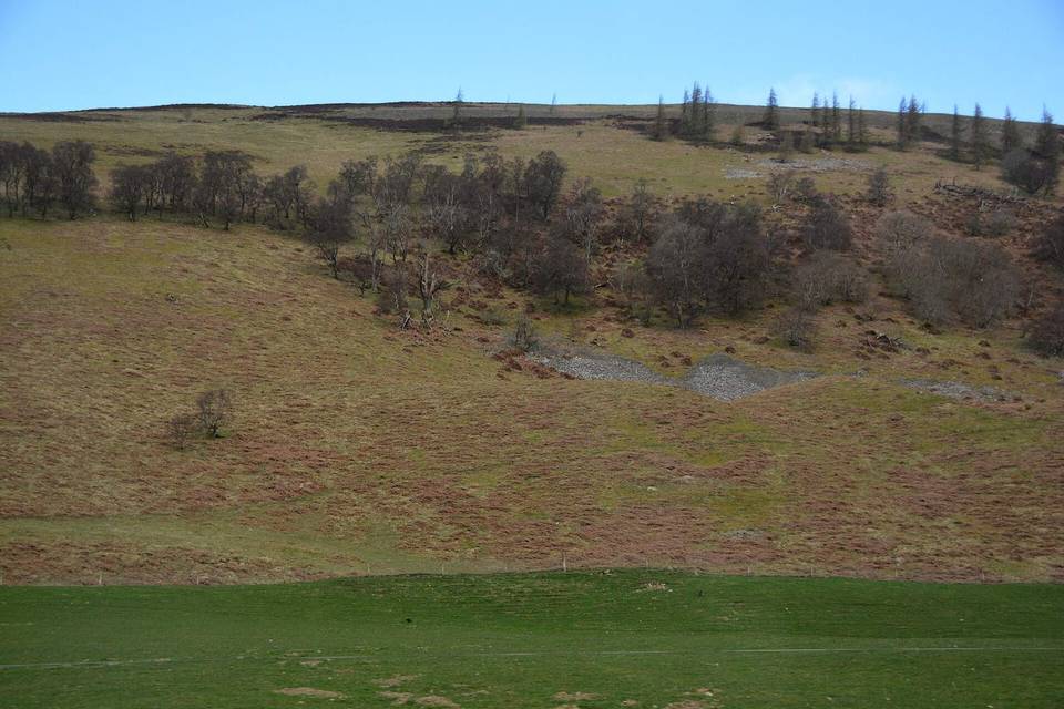
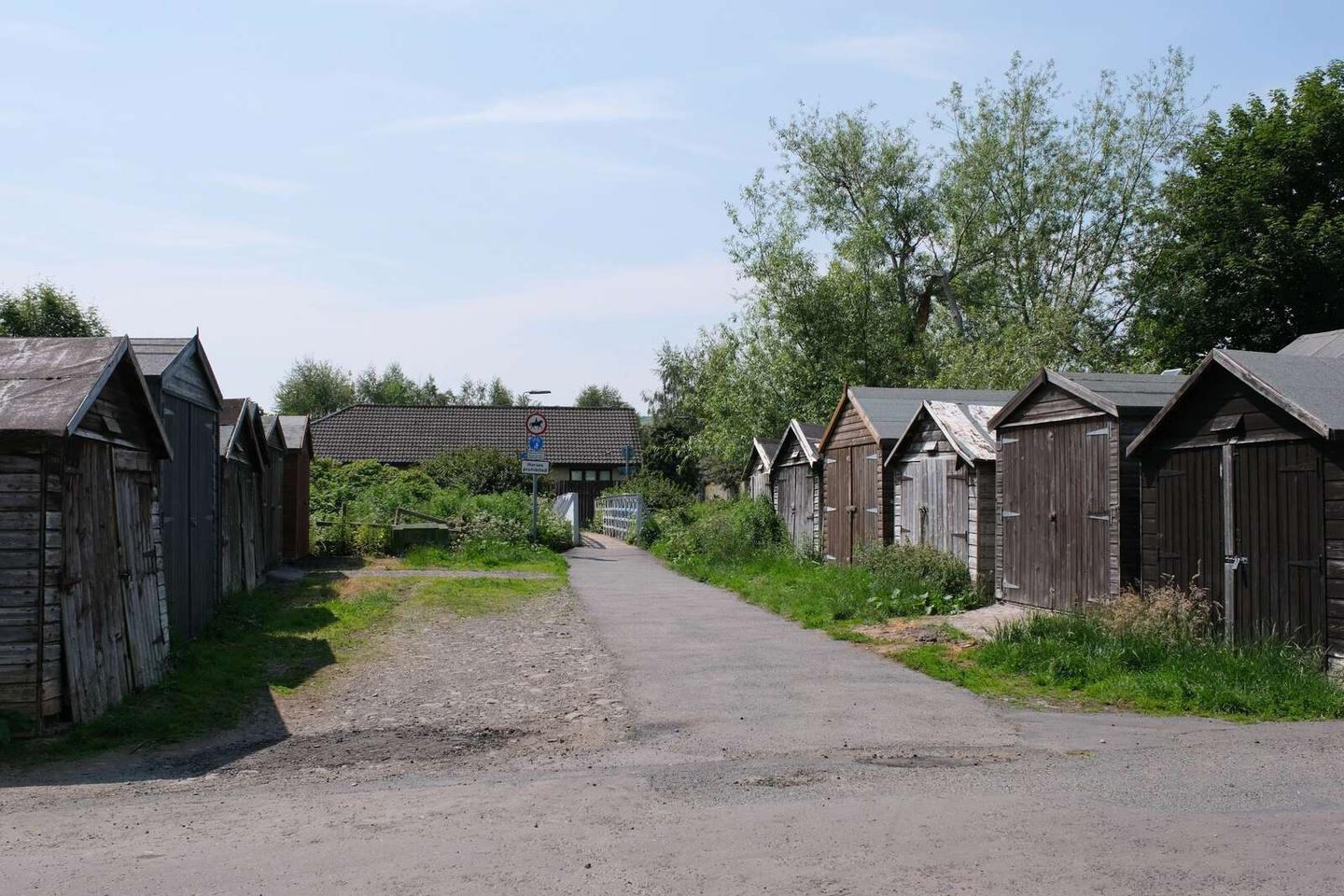
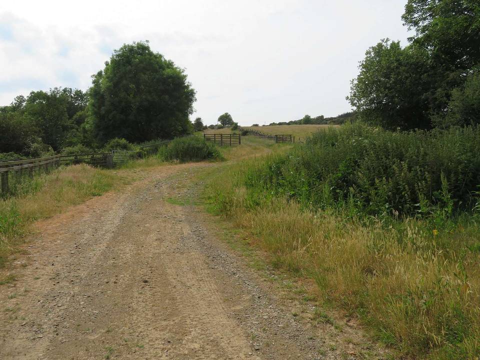
2 photographs from the road

Photo: Les Hull · CC BY-SA 2.0 · Wikimedia Commons · Photo: Jim Barton · CC BY-SA 2.0 · Wikimedia Commons · Photo: M J Richardson · CC BY-SA 2.0 · Wikimedia Commons

More rides from Innerleithen