Cyclists.com

Innerleithen Purple Route

Innerleithen, Scottish Borders, United KingdomRoad

Signed route The waymarked Innerleithen Purple Route (Scottish Borders Council), traced from OpenStreetMap and measured against the terrain model; no member has recorded it yet. Ridden it? Add your recording and photos.

86 km
Distance
690 m
Elevation gain
Hard
Difficulty
Paved
Surface
Download GPXMap

Elevation profile

Total ascent
690 m
Distance
86 km
0100200300400500m0 km20406086 km447 m · highest, at 31.6 kmStartFinish · back at the start

Route overview

Suitable for riders prepared for a long 86 km route with moderate climbing totalling 690 m.

A 86 km loop ride from Innerleithen in the Scottish Borders with 690m climbing.

The route starts in Innerleithen and quickly passes Traquair and Traquair Mill within the first 3 km. An early climb begins just before 3 km, lasting 6.1 km with 192 m gain, averaging 3.2%, reaching 356 m. After descending and passing Newhall, the ride reaches Cappercleuch at 20.5 km where a shorter climb of 2.3 km, 75 m gain, averaging 3.3%, starts at 22.2 km. Further on, at 29 km, another climbing section of 2.4 km with 97 m gain at 4% average takes the route passed Meggethead and Talla Linnfoots, nearing the highest point of 448 m at about 31 km. The return leg includes a 2.2 km climb at 3.5% average beginning around 63 km near Lyne Station. The lowest point is near the start at 141 m. The surface is almost entirely paved. The route mainly uses main roads (61%) including the B709, B712, A701 and B7062, with 52.4 km on main roads all without cycle lanes, and high-speed limit roads (70 km/h+). There is 1.6% gravel or unpaved sections. Cafés and shops are sparse between 2.3 and 42.1 km. Starting and finishing in Innerleithen provides shops, bike shops, cafés, and toilets nearby.

Highlights

  • Climb reaching 448 m near km 31.4
  • Passing Traquair at 2.2 km
  • Longest descent of 4.3 km from 9.2 km
  • Peebles at 74.3 km with shops and bakery nearby

Along the route

Measured from the recorded track and OpenStreetMap.

Places passed

  1. Traquair 2.2 km
  2. Traquair Mill 2.5 km
  3. Kirkhouse 3.9 km
  4. Newhall 5 km
  5. Cappercleuch 20.5 km
  6. Meggethead 28.8 km
  7. Talla Linnfoots 33.4 km
  8. Tweedsmuir 39.4 km
  9. Glenveg 41.3 km
  10. Crookhaugh 41.9 km
  11. Hearthstane 41.9 km
  12. Rachan Mill 50.7 km
  13. Merlindale 52.3 km
  14. Drumelzier 53.1 km
  15. Stobo 59.4 km
  16. Lyne Station 63.2 km
  17. Kirkton 66.6 km
  18. Peebles 74.3 km
  19. Cardrona 80.5 km
  20. Old Howford 82.8 km

Climbs

ClimbStarts atLengthGainAverageMaxTop
2.9 km6.1 km192 m3.2 %5.6 %356 m
22.2 km2.3 km75 m3.3 %8.1 %351 m
29 km2.4 km97 m4 %6.4 %448 m
63.3 km2.2 km78 m3.5 %4.6 %251 m

High point 448 m at 31.4 km; low point 141 m. Passes beneath Caerlee Hill, Glenlude Hill, Mountbenger Law.

What this ride is like

Measured from OpenStreetMap along the track and the elevation profile.

Roads
61% main road · 34% minor road · 2% quiet street · 1% path
Main roads
52.4 km on main roads without a cycle lane — likely busier
Fast roads
70 km on roads with a limit of 80 km/h or more
Main roads used
B709 (13 km), B712 (11 km), A701 (11 km), B7062 (11 km)
Surface
Paved throughout
Gradient
19% climbing · 18% descending · 62% flat
Steep sections
1.6 km over 5% · 0.4 km over 8% · steepest 500 m averages 9.3% at 0 km
Longest descent
4.3 km from 9.2 km, dropping 118 m

Along the way

Within a few hundred metres of the track, from OpenStreetMap. Opening hours change — treat this as where to look, not a promise.

Longest stretch without a café, shop or water: 40 km, from 2 km to 42 km.

Food, water and shops

  1. 0 kmNo1 Peebles Road · café · on the route
  2. 0 kmToilets · 90 m off route
  3. 0 kmTweed Valley Bikes · bike shop · 140 m off route
  4. 0 kmInnerleithen Pharmacy · pharmacy · 230 m off route
  5. 0.1 kmThe Co-operative Food · supermarket · 80 m off route
  6. 2.3 kmDrinking water · 80 m off route
  7. 42.1 kmWee Crook Cafe · café · 50 m off route
  8. 73.7 kmGlen Road Stores · convenience store · 110 m off route
  9. 74.1 kmThe Fat Batard · bakery · 280 m off route
  10. 74.1 kmToilets · 30 m off route
  11. 74.3 kmTop Up Tap · drinking water · 200 m off route
  12. 74.3 kmBoots · pharmacy · 310 m off route
  13. 75.5 kmFall Line Cycles Ltd · bike shop · 100 m off route
  14. 79.1 kmToilets · 110 m off route

Worth a stop

  • 1.5 kmTraquair House (castle)
  • 19.1 kmSt Marys Kirk Yard (attraction)
  • 53.7 kmTinnis Castle (remains of) (archaeological site)
  • 80.2 kmCardrona Standing Stone (archaeological site)

At the start and finish

  • No1 Peebles Road · café · 10 m
  • The Co-operative Food · supermarket · 110 m
  • DurtyBrewing · bar · 100 m
  • Caldwells Home Made Ice Cream · ice cream · 60 m
  • Tweed Valley Bikes · bike shop · 140 m

Practical information

Surface
Paved
Route shape
Loop
Riding time
6 h 10 min
Best months
Jun to Aug — daily highs of 17–18 °C in those months

Know before you go

  • No café, shop or water between 2.3 km and 42.1 km (39.8 km)
  • 52.4 km on main roads without cycle lanes
  • 70 km on roads with speed limits of 80 km/h or more
  • 1.6 km gravel or unpaved sections

Routes are for inspiration. Roads, surfaces and conditions change — check locally and ride within your limits.

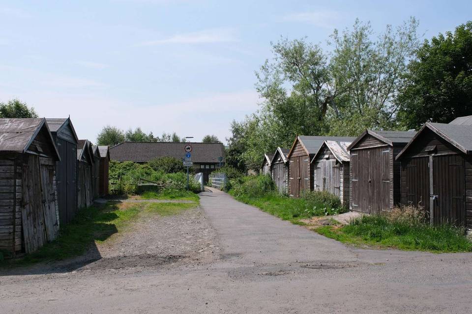
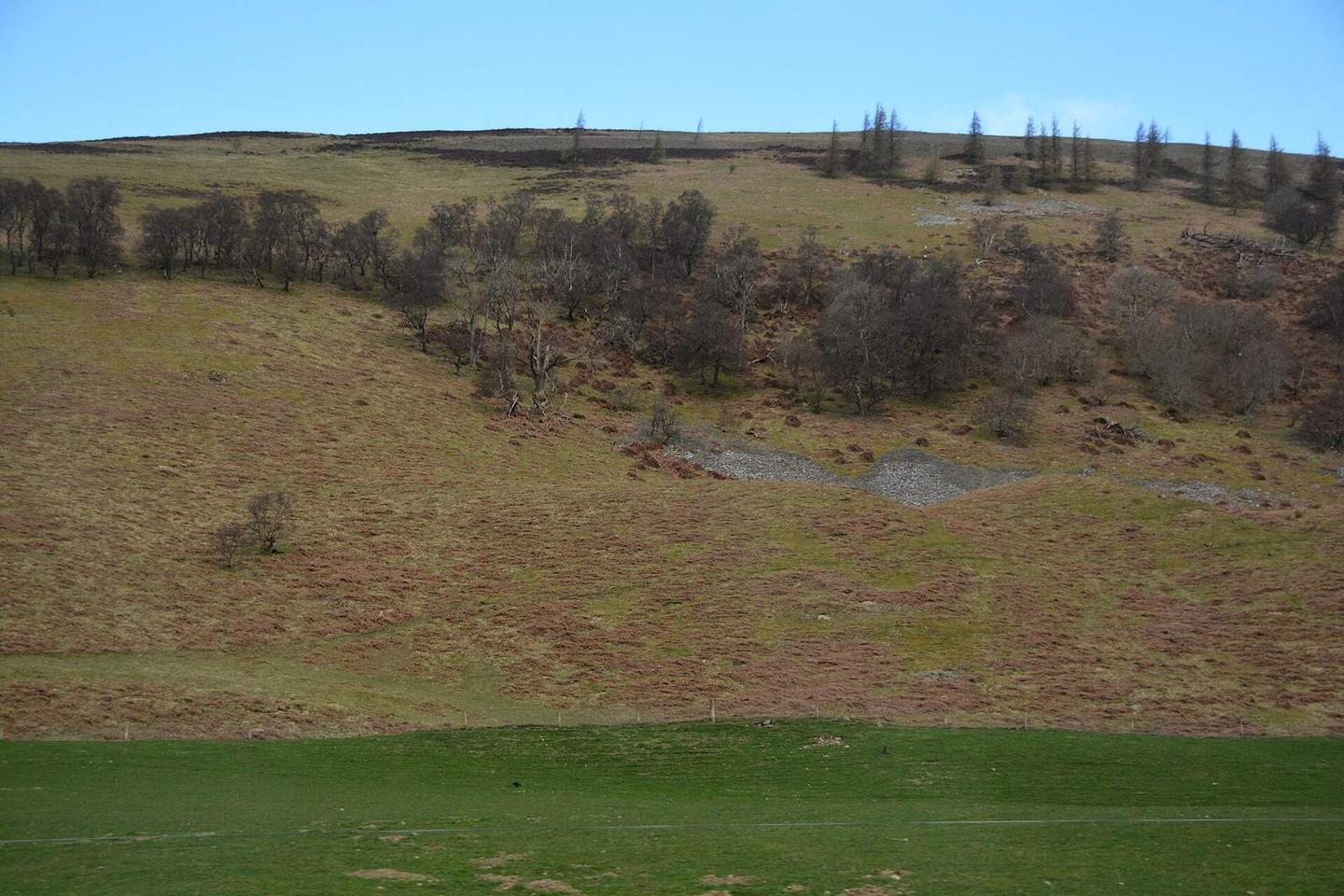
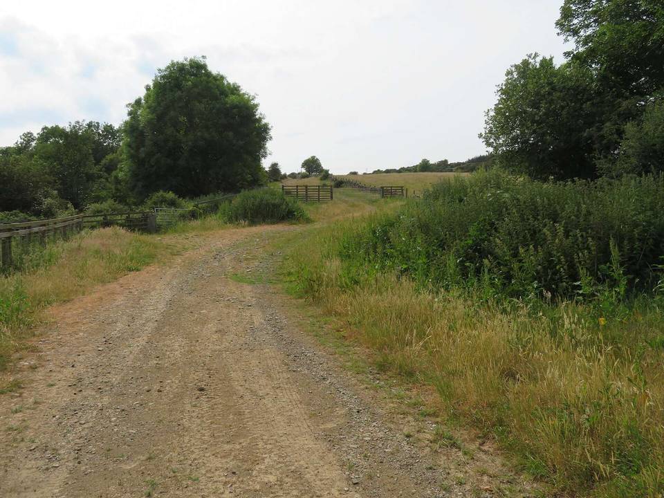
2 photographs from the road

Photo: Lewis Clarke · CC BY-SA 2.0 · Wikimedia Commons · Photo: WeeHolly · CC BY-SA 4.0 · Wikimedia Commons · Photo: Ben Brooksbank · CC BY-SA 2.0 · Wikimedia Commons

More rides from Innerleithen